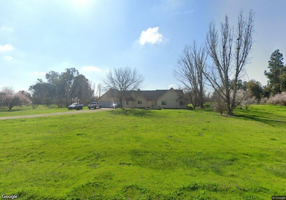
12689 E Paul Ave Clovis, CA 93619
Estimated Value: $741,000 - $1,077,000
About This Home
This home is located at 12689 E Paul Ave, Clovis, CA 93619 and is currently estimated at $870,291, approximately $349 per square foot. 12689 E Paul Ave is a home located in Fresno County with nearby schools including Cedarwood Elementary School, Clark Intermediate School, and Clovis High School.
Ownership History
We collect this data history from publicly available records. To have your information removed, we recommend requesting removal directly through your county’s website.
Purchase Details
Home Financials for this Owner
Home Financials are based on the most recent Mortgage that was taken out on this home.Purchase History
We collect this data history from publicly available records. To have your information removed, we recommend requesting removal directly through your county’s website.
| Date | Buyer | Sale Price | Title Company |
|---|---|---|---|
| -- | -- | ||
| -- | -- |
Mortgage History
We collect this data history from publicly available records. To have your information removed, we recommend requesting removal directly through your county’s website.
| Date | Status | Borrower | Loan Amount |
|---|---|---|---|
| Closed | $300,000 |
Tax History
We collect this data history from publicly available records. To have your information removed, we recommend requesting removal directly through your county’s website.
| Year | Tax Paid | Tax Assessment Tax Assessment Total Assessment is a certain percentage of the fair market value that is determined by local assessors to be the total taxable value of land and additions on the property. | Land | Improvement |
|---|---|---|---|---|
| 2025 | $3,288 | $285,732 | $67,684 | $218,048 |
| 2023 | $3,160 | $274,638 | $65,056 | $209,582 |
| 2022 | $3,116 | $269,254 | $63,781 | $205,473 |
| 2021 | $3,027 | $263,976 | $62,531 | $201,445 |
| 2020 | $3,014 | $261,270 | $61,890 | $199,380 |
| 2019 | $2,954 | $256,148 | $60,677 | $195,471 |
| 2018 | $2,888 | $251,127 | $59,488 | $191,639 |
| 2017 | $2,837 | $246,204 | $58,322 | $187,882 |
| 2016 | $2,739 | $241,378 | $57,179 | $184,199 |
| 2015 | $2,696 | $237,754 | $56,321 | $181,433 |
| 2014 | $2,645 | $233,097 | $55,218 | $177,879 |
Map
- 12789 E Herndon Ave
- 12583 Heather Ln
- 11236 E Herndon Ave
- 13017 Violet Ln
- 6922 N Del Rey Ave
- 12009 E Shaw Ave
- 4644 N Smyrna Ave
- 5451 Amber Ave
- 11735 E Santa Ana Ave
- 8485 N Madsen Ave
- 6155 Dockery Ave
- 5496 S Newmark
- 8584 N Madsen Ave
- 11078 Sawtooth Peak Way
- 10464 E Herndon Ave
- 4626 N Arrow Ridge Way
- 10365 E Bullard Ave
- 11092 E Le Conte Pass Ct
- 11079 E Mitchell Peak Way
- 6728 N Mccall Ave
- 12627 E Paul Ave
- 12736 E Paul Ave
- 12618 E Paul Ave
- 12630 E Paul Ave
- 12813 E Paul Ave
- 12555 E Paul Ave
- 12800 E Paul Ave
- 12690 E Sierra Ave
- 12716 E Sierra Ave
- 12443 E Paul Ave
- 12626 E Sierra Ave
- 12595 E Herndon Ave
- 12766 E Sierra Ave
- 12526 E Paul Ave
- 12887 E Paul Ave
- 12444 E Paul Ave
- 12572 E Sierra Ave
- 12864 E Paul Ave
- 12915 E Paul Ave
- 12395 E Paul Ave
Ask me questions while you tour the home.