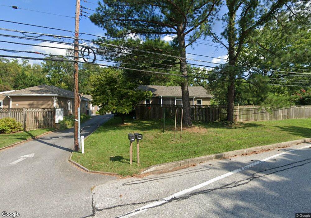
1269 Generals Hwy Crownsville, MD 21032
Estimated Value: $819,212
--
Bed
1
Bath
2,376
Sq Ft
$345/Sq Ft
Est. Value
About This Home
This home is located at 1269 Generals Hwy, Crownsville, MD 21032 and is currently estimated at $819,212, approximately $344 per square foot. 1269 Generals Hwy is a home located in Anne Arundel County with nearby schools including South Shore Elementary School, Old Mill High School, and Indian Creek School.
Ownership History
Date
Name
Owned For
Owner Type
Purchase Details
Closed on
Sep 12, 2003
Sold by
Meeks Patricia A
Bought by
Laurette Company Llc
Current Estimated Value
Purchase Details
Closed on
Jan 13, 1999
Sold by
Taylor Allan R
Bought by
Meeks Patricia A
Purchase Details
Closed on
Feb 14, 1989
Sold by
Tyler Eva C
Bought by
Taylor Allan R
Home Financials for this Owner
Home Financials are based on the most recent Mortgage that was taken out on this home.
Original Mortgage
$100,000
Interest Rate
10.56%
Create a Home Valuation Report for This Property
The Home Valuation Report is an in-depth analysis detailing your home's value as well as a comparison with similar homes in the area
Home Values in the Area
Average Home Value in this Area
Purchase History
| Date | Buyer | Sale Price | Title Company |
|---|---|---|---|
| Laurette Company Llc | $375,000 | -- | |
| Meeks Patricia A | $58,000 | -- | |
| Taylor Allan R | $160,000 | -- |
Source: Public Records
Mortgage History
| Date | Status | Borrower | Loan Amount |
|---|---|---|---|
| Previous Owner | Taylor Allan R | $100,000 |
Source: Public Records
Tax History Compared to Growth
Tax History
| Year | Tax Paid | Tax Assessment Tax Assessment Total Assessment is a certain percentage of the fair market value that is determined by local assessors to be the total taxable value of land and additions on the property. | Land | Improvement |
|---|---|---|---|---|
| 2025 | $5,264 | $330,300 | $183,600 | $146,700 |
| 2024 | $5,264 | $321,133 | $0 | $0 |
| 2023 | $5,078 | $311,967 | $0 | $0 |
| 2022 | $4,697 | $302,800 | $183,600 | $119,200 |
| 2021 | $4,615 | $302,800 | $183,600 | $119,200 |
| 2020 | $4,615 | $302,800 | $183,600 | $119,200 |
| 2019 | $5,956 | $418,800 | $295,800 | $123,000 |
| 2018 | $3,951 | $389,633 | $0 | $0 |
| 2017 | $5,200 | $360,467 | $0 | $0 |
| 2016 | -- | $331,300 | $0 | $0 |
| 2015 | -- | $331,300 | $0 | $0 |
| 2014 | -- | $331,300 | $0 | $0 |
Source: Public Records
Map
Nearby Homes
- 1404 Cotton Ct
- 0 Generals Hwy
- 1080 Generals Hwy
- 1458 Wilderness Ridge Trail
- 0 Old Herald Harbor Rd Unit MDAA2109542
- 0 Old Herald Harbor Rd Unit MDAA2115958
- 1603 Upton Scott Way
- 1400 Lower View Ct
- 1013 Waterbury Heights Dr
- 0 Yew Trail Unit MDAA2121932
- 983 Wayside Dr
- 902 Hine Trail
- 938 Diggs Rd
- 478 Mountain Rd
- 975 Diggs Rd
- 0 Herald Harbor Rd Unit MDAA2123892
- 872 Redwood Trail
- Lots 25 and 26 Redwood Trail
- Lots 27 and 28 Redwood Trail
- Lots 23 and 24 Redwood Trail
- 1259 Generals Hwy
- 1272 Generals Hwy
- 1303 Generals Hwy
- 1346 Fairfield Loop Rd
- 1253 Generals Hwy
- 790 Lancers Trail
- 1252 Generals Hwy
- 1360 Fairfield Loop Rd
- 1251 Generals Hwy
- 786 Lancers Trail
- 1249 Generals Hwy
- 1248 Generals Hwy
- 650 Tailwind Ln
- 1311 Generals Hwy
- 1241 Generals Hwy
- 803 Northfield Ln
- 777 Herald Harbor Rd
- 646 Tailwind Ln
- 1384 Fairfield Loop Rd
- 1240 Generals Hwy