1269 Liberty Pkwy NW Unit A Atlanta, GA 30318
Bolton NeighborhoodEstimated Value: $338,000 - $369,000
3
Beds
4
Baths
1,326
Sq Ft
$266/Sq Ft
Est. Value
About This Home
This home is located at 1269 Liberty Pkwy NW Unit A, Atlanta, GA 30318 and is currently estimated at $352,834, approximately $266 per square foot. 1269 Liberty Pkwy NW Unit A is a home located in Fulton County with nearby schools including Bolton Academy, Sutton Middle School, and North Atlanta High School.
Ownership History
Date
Name
Owned For
Owner Type
Purchase Details
Closed on
May 12, 2022
Sold by
Pollak Dalit
Bought by
Wooten Keith
Current Estimated Value
Purchase Details
Closed on
Mar 24, 2016
Sold by
Webb Investment Llc
Bought by
Pollak Dalit
Home Financials for this Owner
Home Financials are based on the most recent Mortgage that was taken out on this home.
Original Mortgage
$178,944
Interest Rate
3.62%
Mortgage Type
New Conventional
Create a Home Valuation Report for This Property
The Home Valuation Report is an in-depth analysis detailing your home's value as well as a comparison with similar homes in the area
Home Values in the Area
Average Home Value in this Area
Purchase History
| Date | Buyer | Sale Price | Title Company |
|---|---|---|---|
| Wooten Keith | $385,000 | -- | |
| Pollak Dalit | $198,944 | -- |
Source: Public Records
Mortgage History
| Date | Status | Borrower | Loan Amount |
|---|---|---|---|
| Previous Owner | Pollak Dalit | $178,944 |
Source: Public Records
Tax History Compared to Growth
Tax History
| Year | Tax Paid | Tax Assessment Tax Assessment Total Assessment is a certain percentage of the fair market value that is determined by local assessors to be the total taxable value of land and additions on the property. | Land | Improvement |
|---|---|---|---|---|
| 2025 | $4,720 | $141,160 | $28,200 | $112,960 |
| 2023 | $6,220 | $150,240 | $27,920 | $122,320 |
| 2022 | $2,346 | $121,880 | $18,280 | $103,600 |
| 2021 | $1,919 | $104,080 | $20,600 | $83,480 |
| 2020 | $1,931 | $104,840 | $16,040 | $88,800 |
| 2019 | $88 | $95,760 | $14,680 | $81,080 |
| 2018 | $2,244 | $90,400 | $27,040 | $63,360 |
| 2017 | $1,253 | $57,800 | $7,280 | $50,520 |
| 2016 | $2,503 | $57,800 | $7,280 | $50,520 |
| 2015 | $2,509 | $57,800 | $7,280 | $50,520 |
| 2014 | $2,263 | $49,920 | $10,240 | $39,680 |
Source: Public Records
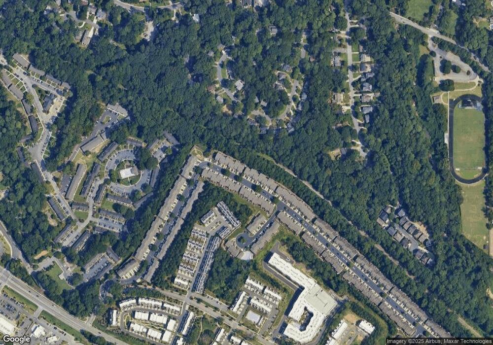
Map
Nearby Homes
- 1293 Liberty Pkwy NW
- 1228 Liberty Pkwy NW Unit 903
- 1208 Liberty Pkwy NW Unit 908
- 1184 Liberty Pkwy NW
- 1049 Brandsford St NW Unit 27-01
- 2038 Liberty Ct NW
- 1153 Liberty Pkwy NW
- 1066 Brandsford St NW
- 1100 Liberty Pkwy NW Unit 403
- 1160 Ansel Ln NW
- 1384 Liberty Pkwy NW
- 1488 Liberty Pkwy NW
- 1130 Ansel Ln NW
- Hutton Plan at Altus at The Quarter
- 2632 Defoors Ferry Rd NW
- 2028 Holtz Ln
- 2461 Fernleaf Ct NW
- 2556 Defoors Ferry Rd NW
- 1269 Liberty Pkwy NW
- 1269 Liberty Pkwy NW Unit 1269
- 1273 Liberty Pkwy NW Unit 1002
- 1265 Liberty Pkwy NW Unit 812
- 1265 Liberty Pkwy NW
- 1277 Liberty Pkwy NW Unit 1277
- 1277 Liberty Pkwy NW Unit 1003
- 1277 Liberty Pkwy NW
- 1261 Liberty Pkwy NW
- 1257 Liberty Pkwy NW
- 1285 Liberty Pkwy NW
- 1253 Liberty Pkwy NW
- 1289 Liberty Pkwy NW Unit 1289
- 1289 Liberty Pkwy NW
- 1293 Liberty Pkwy NW Unit 1293
- 1293 Liberty Pkwy NW Unit 1007
- 1249 Liberty Pkwy NW Unit 808
- 1236 Liberty Pkwy NW
- 1245 Liberty Pkwy NW
- 1232 Liberty Pkwy NW