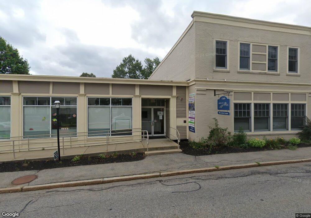
1269 Main St Concord, MA 01742
Estimated Value: $4,124,114
1
Bed
5
Baths
10,124
Sq Ft
$407/Sq Ft
Est. Value
About This Home
This home is located at 1269 Main St, Concord, MA 01742 and is currently estimated at $4,124,114, approximately $407 per square foot. 1269 Main St is a home located in Middlesex County with nearby schools including Thoreau Elementary School, Concord Middle School, and Nashoba Brooks School.
Ownership History
Date
Name
Owned For
Owner Type
Purchase Details
Closed on
May 31, 1996
Sold by
Robert Funding T and Adams Michael D
Bought by
Minuteman Arc Human Sv
Current Estimated Value
Home Financials for this Owner
Home Financials are based on the most recent Mortgage that was taken out on this home.
Original Mortgage
$1,200,000
Interest Rate
7.91%
Mortgage Type
Commercial
Create a Home Valuation Report for This Property
The Home Valuation Report is an in-depth analysis detailing your home's value as well as a comparison with similar homes in the area
Home Values in the Area
Average Home Value in this Area
Purchase History
| Date | Buyer | Sale Price | Title Company |
|---|---|---|---|
| Minuteman Arc Human Sv | $368,700 | -- | |
| Minuteman Arc Human Sv | $368,700 | -- |
Source: Public Records
Mortgage History
| Date | Status | Borrower | Loan Amount |
|---|---|---|---|
| Open | Minuteman Arc Human Sv | $1,200,000 | |
| Closed | Minuteman Arc Human Sv | $1,200,000 |
Source: Public Records
Tax History Compared to Growth
Tax History
| Year | Tax Paid | Tax Assessment Tax Assessment Total Assessment is a certain percentage of the fair market value that is determined by local assessors to be the total taxable value of land and additions on the property. | Land | Improvement |
|---|---|---|---|---|
| 2025 | $0 | $1,516,600 | $491,000 | $1,025,600 |
| 2024 | -- | $1,498,000 | $491,000 | $1,007,000 |
| 2023 | $0 | $1,444,200 | $446,500 | $997,700 |
| 2022 | $0 | $1,354,800 | $357,100 | $997,700 |
| 2021 | $0 | $1,354,800 | $357,100 | $997,700 |
| 2020 | $0 | $1,354,800 | $357,100 | $997,700 |
| 2019 | $0 | $1,338,600 | $368,900 | $969,700 |
| 2018 | $0 | $1,308,300 | $338,600 | $969,700 |
| 2017 | $0 | $1,284,100 | $314,400 | $969,700 |
| 2016 | -- | $1,265,500 | $314,400 | $951,100 |
| 2015 | -- | $1,242,300 | $291,200 | $951,100 |
Source: Public Records
Map
Nearby Homes
- 111 Central St
- 54 Maple St
- 102 Highland St
- 70 McCallar Ln
- 16 Concord Greene Unit 5
- 114 Upland Rd
- 1053 Main St
- 24 Concord Greene Unit 7
- 12 S Meadow Ridge Unit 12
- 12 S Meadow Ridge
- 29 Concord Greene Unit 3
- 1687 Main St
- 79-81 Assabet Ave
- 88 Wright Rd
- 10 Wright Rd
- 855 Barretts Mill Rd
- 70 Hillside Ave
- 488 Elm St
- 27 Water St
- 37 Water St
- 1269 Main St Unit 3
- 1269 Main St Unit 2
- 1269 Main St Unit 1
- 12 Central St
- 257 Concord Greene Unit 7
- 256 Concord Greene Unit 25-6
- 266 Concord Greene Unit 26-6
- 12 Derby St
- 22 Derby St
- 1266 Main St
- 1266 Main St Unit 1
- 1266 Main St Unit 2
- 1264 Main St Unit 1
- 1264 Main St
- 1279 Main St
- 1279 Main St Unit 1
- 1281 Main St Unit 2
- 1281 Main St
- 1260 Main St
- 28 Central St