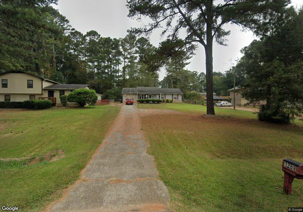
1269 Monfort Rd Unit 12 Lawrenceville, GA 30046
Estimated Value: $270,000 - $326,000
3
Beds
3
Baths
1,251
Sq Ft
$240/Sq Ft
Est. Value
About This Home
This home is located at 1269 Monfort Rd Unit 12, Lawrenceville, GA 30046 and is currently estimated at $299,878, approximately $239 per square foot. 1269 Monfort Rd Unit 12 is a home located in Gwinnett County with nearby schools including Benefield Elementary School, Richards Middle School, and Discovery High School.
Ownership History
Date
Name
Owned For
Owner Type
Purchase Details
Closed on
Sep 25, 2007
Sold by
Wilkerson Ladonna
Bought by
Wilkerson Ladonna and Roberts Stanley
Current Estimated Value
Home Financials for this Owner
Home Financials are based on the most recent Mortgage that was taken out on this home.
Original Mortgage
$108,000
Interest Rate
6.63%
Mortgage Type
New Conventional
Purchase Details
Closed on
Aug 3, 2007
Sold by
Rice Stanley D and Rice Paula S
Bought by
Wilkerson Ladonna
Home Financials for this Owner
Home Financials are based on the most recent Mortgage that was taken out on this home.
Original Mortgage
$108,000
Interest Rate
6.63%
Mortgage Type
New Conventional
Create a Home Valuation Report for This Property
The Home Valuation Report is an in-depth analysis detailing your home's value as well as a comparison with similar homes in the area
Home Values in the Area
Average Home Value in this Area
Purchase History
| Date | Buyer | Sale Price | Title Company |
|---|---|---|---|
| Wilkerson Ladonna | -- | -- | |
| Wilkerson Ladonna | $108,000 | -- |
Source: Public Records
Mortgage History
| Date | Status | Borrower | Loan Amount |
|---|---|---|---|
| Previous Owner | Wilkerson Ladonna | $108,000 |
Source: Public Records
Tax History Compared to Growth
Tax History
| Year | Tax Paid | Tax Assessment Tax Assessment Total Assessment is a certain percentage of the fair market value that is determined by local assessors to be the total taxable value of land and additions on the property. | Land | Improvement |
|---|---|---|---|---|
| 2024 | $3,813 | $96,920 | $21,120 | $75,800 |
| 2023 | $3,813 | $90,280 | $20,800 | $69,480 |
| 2022 | $2,370 | $77,320 | $20,800 | $56,520 |
| 2021 | $2,153 | $65,480 | $16,800 | $48,680 |
| 2020 | $2,007 | $58,120 | $14,400 | $43,720 |
| 2019 | $1,818 | $51,680 | $14,400 | $37,280 |
| 2018 | $1,733 | $47,920 | $12,080 | $35,840 |
| 2016 | $1,517 | $39,720 | $10,000 | $29,720 |
| 2015 | $1,131 | $28,400 | $7,200 | $21,200 |
| 2014 | -- | $28,400 | $7,200 | $21,200 |
Source: Public Records
Map
Nearby Homes
- 495 Buttercup Trail
- 1405 Chris Lake Dr
- 1384 Sunrise Way
- 1115 Chris Lake Dr
- 1469 Bridgestone Dr
- 1231 Providence Way
- 555 Sydney Crest Ln
- 398 Parc River Blvd
- 652 Tower Hill Ct
- 384 Parc River Blvd
- 2099 Riverlanding Cir Unit II
- 912 Noble Oak Ct
- 593 Mill Run Place
- 209 Towler Rd
- 1634 Lamancha Dr
- 484 Fieldstream Way
- 1584 Park Grove Dr
- 1269 Monfort Rd
- 1275 Monfort Rd
- 1263 Monfort Rd
- 1257 Monfort Rd
- 1281 Monfort Rd
- 477 Summerville Dr
- 487 Summerville Dr
- 467 Summerville Dr
- 497 Summerville Dr
- 1268 Monfort Rd
- 1251 Monfort Rd
- 457 Summerville Dr Unit 2
- 1287 Monfort Rd
- 1274 Monfort Rd
- 507 Summerville Dr
- 1256 Monfort Rd Unit 1
- 0 Summerville Dr NW Unit 8528930
- 0 Summerville Dr NW Unit 8491371
- 0 Summerville Dr NW Unit 7561546
- 0 Summerville Dr NW Unit 7403233