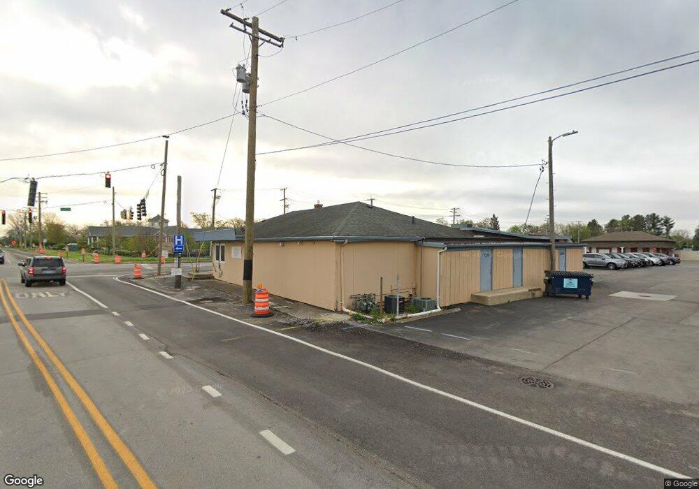
1269 N Cedar Rd New Lenox, IL 60451
--
Bed
--
Bath
--
Sq Ft
0.37
Acres
About This Home
This home is located at 1269 N Cedar Rd, New Lenox, IL 60451. 1269 N Cedar Rd is a home located in Will County with nearby schools including Oster-Oakview School, Haines Elementary School, and Lincoln Way West.
Ownership History
Date
Name
Owned For
Owner Type
Purchase Details
Closed on
Jun 20, 2025
Sold by
First National Bank Of Manhattan and Trust Number 707
Bought by
Arkay Investments Llc
Home Financials for this Owner
Home Financials are based on the most recent Mortgage that was taken out on this home.
Original Mortgage
$1,087,500
Outstanding Balance
$1,041,664
Interest Rate
7%
Mortgage Type
Credit Line Revolving
Purchase Details
Closed on
Mar 8, 2024
Sold by
Trust No 707 and First Bank Of Manhattan
Bought by
County Of Will
Purchase Details
Closed on
Nov 18, 2008
Sold by
Hoyt Terrilee
Bought by
The Terrilee Hoyt Revocable Trust
Purchase Details
Closed on
Dec 14, 2007
Sold by
Harris Na
Bought by
Hoyt Terrilee
Create a Home Valuation Report for This Property
The Home Valuation Report is an in-depth analysis detailing your home's value as well as a comparison with similar homes in the area
Home Values in the Area
Average Home Value in this Area
Purchase History
| Date | Buyer | Sale Price | Title Company |
|---|---|---|---|
| Arkay Investments Llc | $1,450,000 | Fidelity National Title | |
| County Of Will | $121,469 | None Listed On Document | |
| The Terrilee Hoyt Revocable Trust | -- | None Available | |
| Hoyt Terrilee | -- | None Available |
Source: Public Records
Mortgage History
| Date | Status | Borrower | Loan Amount |
|---|---|---|---|
| Open | Arkay Investments Llc | $1,087,500 |
Source: Public Records
Tax History Compared to Growth
Tax History
| Year | Tax Paid | Tax Assessment Tax Assessment Total Assessment is a certain percentage of the fair market value that is determined by local assessors to be the total taxable value of land and additions on the property. | Land | Improvement |
|---|---|---|---|---|
| 2024 | $9,121 | $112,394 | $44,761 | $67,633 |
| 2023 | $9,121 | $112,394 | $44,761 | $67,633 |
| 2022 | $9,576 | $110,672 | $43,039 | $67,633 |
| 2021 | $9,699 | $110,672 | $43,039 | $67,633 |
| 2020 | $9,793 | $110,672 | $43,039 | $67,633 |
| 2019 | $9,692 | $110,672 | $43,039 | $67,633 |
| 2018 | $9,753 | $109,828 | $42,195 | $67,633 |
| 2017 | $9,559 | $109,828 | $42,195 | $67,633 |
| 2016 | $9,552 | $109,828 | $42,195 | $67,633 |
| 2015 | -- | $109,828 | $42,195 | $67,633 |
| 2014 | -- | $109,828 | $42,195 | $67,633 |
| 2013 | -- | $109,828 | $42,195 | $67,633 |
Source: Public Records
Map
Nearby Homes
- 133 Barbara Ln
- 1231 Town Crest Dr Unit E
- 1344 N Cedar Rd
- 217 Aspen Dr
- 200 Redwood Ave
- 208 Redwood Ave
- 224 Hauser Ct
- 125 Kimber Dr
- 807 Picardy Place
- 203 Fir St
- 338 Willow St
- 331 Old Hickory Rd
- 1261 S Regan Rd
- 1301 Silver Cross Blvd
- 202 Hickory St
- 416 Manor Ct Unit B
- Vacant W Maple St
- 1920 Edmonds Ave
- 328 E Lincoln Hwy
- 1999 Silver Cross Blvd
- 35 E Francis Rd
- 35 Francis Rd
- 124 W Francis Rd
- 1243 N Cedar Rd
- 119 Inner Ct
- 1300 N Cedar Rd
- 1304 N Cedar Rd
- 121 Inner Ct
- 36 E Francis Rd
- 1239 N Cedar Rd
- 1310 N Cedar Rd
- 124 Barbara Ln
- 129 W Francis Rd
- 134 W Francis Rd
- 1234 N Cedar Rd Unit 3
- 1234 N Cedar Rd Unit A
- 1234 N Cedar Rd Unit E
- 1234 N Cedar Rd Unit C
- 1234 N Cedar Rd Unit D