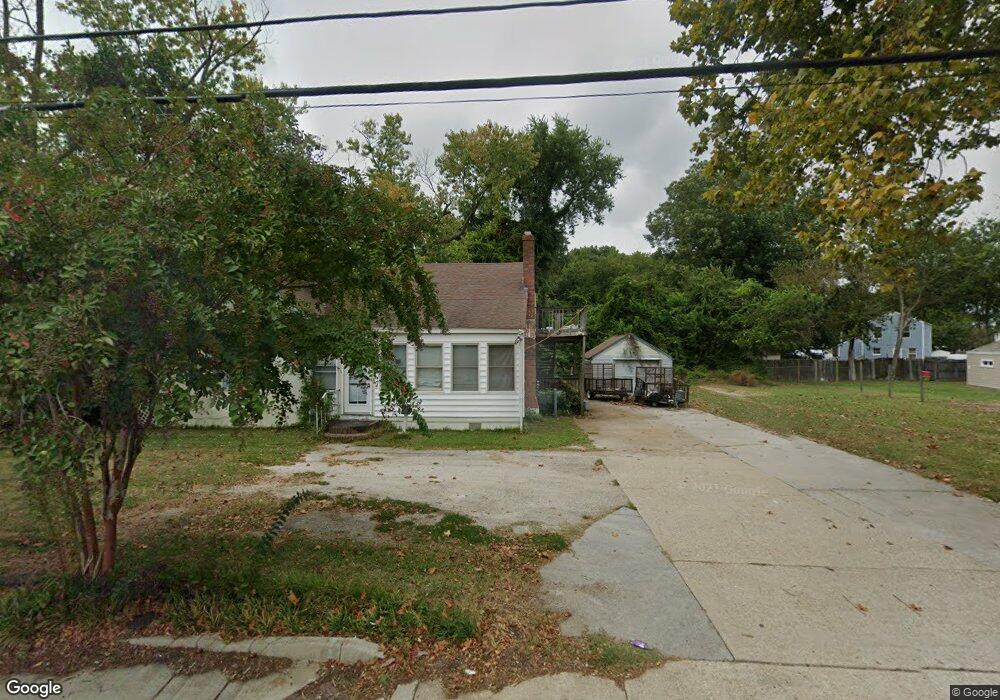
1269 N King St Hampton, VA 23669
Willow Oaks NeighborhoodEstimated Value: $211,000 - $223,000
About This Home
This home is located at 1269 N King St, Hampton, VA 23669 and is currently estimated at $216,182, approximately $186 per square foot. 1269 N King St is a home located in Hampton City with nearby schools including Mary S. Peake Elementary School, Benjamin Syms Middle School, and Kecoughtan High School.
Ownership History
We collect this data history from publicly available records. To have your information removed, we recommend requesting removal directly through your county’s website.
Purchase Details
Home Financials for this Owner
Home Financials are based on the most recent Mortgage that was taken out on this home.Home Values in the Area
Average Home Value in this Area
Purchase History
We collect this data history from publicly available records. To have your information removed, we recommend requesting removal directly through your county’s website.
| Date | Buyer | Sale Price | Title Company |
|---|---|---|---|
| $155,000 | -- |
Mortgage History
We collect this data history from publicly available records. To have your information removed, we recommend requesting removal directly through your county’s website.
| Date | Status | Borrower | Loan Amount |
|---|---|---|---|
| Open | $124,000 |
Tax History
We collect this data history from publicly available records. To have your information removed, we recommend requesting removal directly through your county’s website.
| Year | Tax Paid | Tax Assessment Tax Assessment Total Assessment is a certain percentage of the fair market value that is determined by local assessors to be the total taxable value of land and additions on the property. | Land | Improvement |
|---|---|---|---|---|
| 2025 | $2,384 | $195,600 | $50,000 | $145,600 |
| 2024 | $1,981 | $172,300 | $50,000 | $122,300 |
| 2023 | $1,776 | $153,100 | $50,000 | $103,100 |
| 2022 | $1,788 | $151,500 | $50,000 | $101,500 |
| 2021 | $1,762 | $131,600 | $35,500 | $96,100 |
| 2020 | $1,447 | $116,700 | $35,400 | $81,300 |
| 2019 | $1,486 | $119,800 | $35,400 | $84,400 |
| 2018 | $1,855 | $114,700 | $35,400 | $79,300 |
| 2017 | $1,516 | $0 | $0 | $0 |
| 2016 | $1,645 | $125,100 | $0 | $0 |
| 2015 | $1,920 | $0 | $0 | $0 |
| 2014 | $1,916 | $130,800 | $48,700 | $82,100 |
Map
- 101 Roane Dr
- 7 Cavalier Rd
- 18 E Gilbert St
- 113 Roane Dr Unit A
- 255 Lantana Ln Unit A
- 203 Roane Dr
- 135 Roland Dr
- 34 Westover St
- 35 Westover St
- 54 Cavalier Rd
- 212 Boswell Dr
- 213 Shawen Dr
- 211 Courtney Dr
- 11 Thornrose Ave
- 6 Thornrose Ave
- 319 Pasture Ln
- 330 Shawen Dr
- 6 Salem St
- 19 Gibson Rd
- 407 Shoreline Dr
- 1263 N King St
- 1531 N King St
- 1261 N King St Unit A
- 1261 N King St
- 1259 N King St
- 20 Roland Dr Unit A&B
- 20 Roland Dr
- 22 Roland Dr
- 1273 N King St
- 1257 N King St
- 24 Roland Dr
- 3 E Gilbert St
- 18 Roland Dr
- 48 W Little Back River Rd
- 54 W Little Back River Rd
- 2 MacAlva Dr
- 46 W Little Back River Rd
- 2 Mac Alva Dr
- 50 W Little Back River Rd
- 56 W Little Back River Rd
Ask me questions while you tour the home.