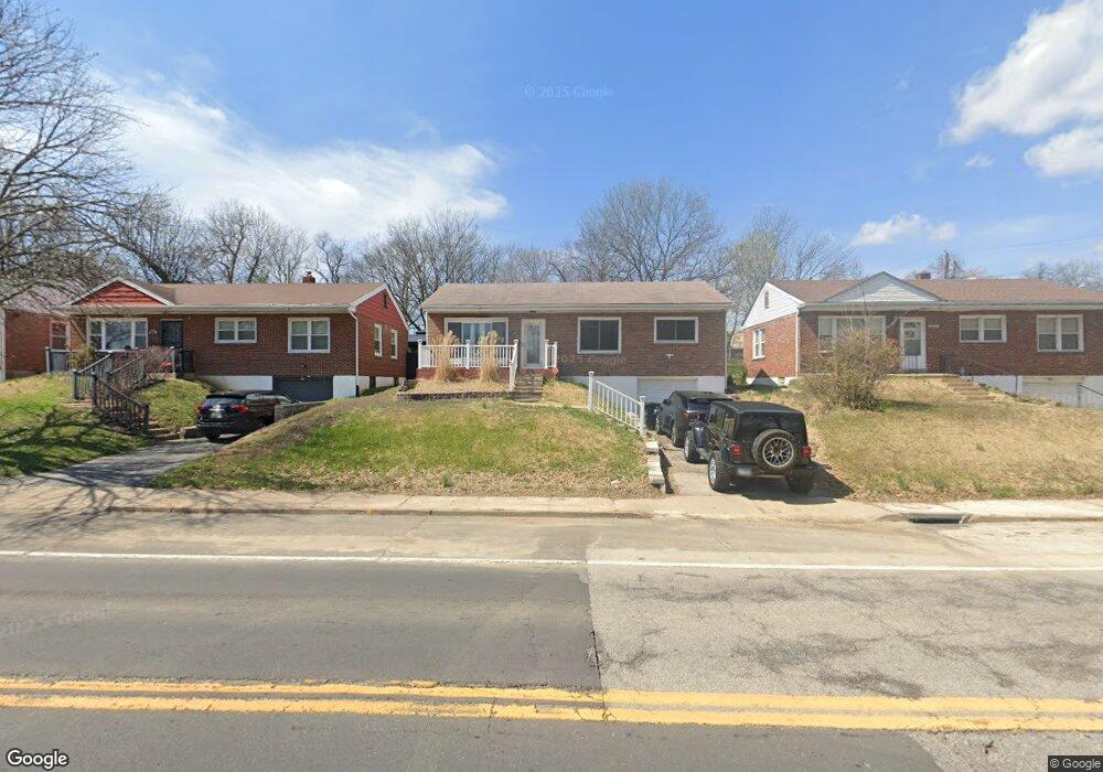
1269 Pennsylvania Ave Saint Louis, MO 63130
Estimated Value: $132,000 - $152,000
3
Beds
1
Bath
960
Sq Ft
$146/Sq Ft
Est. Value
About This Home
This home is located at 1269 Pennsylvania Ave, Saint Louis, MO 63130 and is currently estimated at $140,297, approximately $146 per square foot. 1269 Pennsylvania Ave is a home located in St. Louis County with nearby schools including Pershing Elementary School, Brittany Woods Middle School, and University City High School.
Ownership History
Date
Name
Owned For
Owner Type
Purchase Details
Closed on
May 26, 2023
Sold by
Muhammad Capital Strategies Llc
Bought by
Williams Sheena
Current Estimated Value
Purchase Details
Closed on
Nov 15, 2019
Sold by
Stone Demetrius
Bought by
Muhammad S Capital Strategies Llc
Purchase Details
Closed on
Dec 12, 2018
Sold by
Jackson Kelly
Bought by
Stone Demetrius
Create a Home Valuation Report for This Property
The Home Valuation Report is an in-depth analysis detailing your home's value as well as a comparison with similar homes in the area
Home Values in the Area
Average Home Value in this Area
Purchase History
| Date | Buyer | Sale Price | Title Company |
|---|---|---|---|
| Williams Sheena | $5,000 | None Listed On Document | |
| Muhammad S Capital Strategies Llc | $5,000 | None Available | |
| Stone Demetrius | $30,000 | None Available |
Source: Public Records
Tax History Compared to Growth
Tax History
| Year | Tax Paid | Tax Assessment Tax Assessment Total Assessment is a certain percentage of the fair market value that is determined by local assessors to be the total taxable value of land and additions on the property. | Land | Improvement |
|---|---|---|---|---|
| 2025 | $1,735 | $24,910 | $5,470 | $19,440 |
| 2024 | $1,735 | $23,920 | $9,100 | $14,820 |
| 2023 | $1,733 | $23,920 | $9,100 | $14,820 |
| 2022 | $1,235 | $15,690 | $4,730 | $10,960 |
| 2021 | $1,222 | $15,690 | $4,730 | $10,960 |
| 2020 | $1,274 | $15,960 | $5,300 | $10,660 |
| 2019 | $1,262 | $15,960 | $5,300 | $10,660 |
| 2018 | $1,189 | $13,870 | $4,620 | $9,250 |
| 2017 | $1,191 | $13,870 | $4,620 | $9,250 |
| 2016 | $1,180 | $13,150 | $3,250 | $9,900 |
| 2015 | $1,185 | $13,150 | $3,250 | $9,900 |
| 2014 | $1,063 | $11,540 | $2,530 | $9,010 |
Source: Public Records
Map
Nearby Homes
- 1209 Griefield Place
- 7048 Raymond Ave
- 7012 Melrose Ave
- 7032 Canton Ave
- 1207 Buckner Place
- 6934 Julian Ave
- 7039 Plymouth Ave
- 7055 Plymouth Ave
- 6954 Plymouth Ave
- 6821 Raymond Ave
- 6922 Plymouth Ave
- 6759 Raymond Ave
- 6757 Raymond Ave
- 6937 Etzel Ave
- 1529 Nixon Ave
- 6996 Robbins Ave
- 6903 Etzel Ave
- 7171 White Oak Ln
- 1085 Pennsylvania Ave
- 6835 Etzel Ave
- 1273 Pennsylvania Ave
- 1261 Pennsylvania Ave
- 7006 Roberts Ct
- 1279 Pennsylvania Ave
- 7010 Roberts Ct
- 1265 Pennsylvania Ave
- 7014 Roberts Ct
- 7003 Raymond Ave
- 7018 Roberts Ct
- 7005 Raymond Ave
- 7001 Raymond Ave
- 7011 Raymond Ave
- 1266 Pennsylvania Ave
- 6959 Roberts Ave
- 1262 Pennsylvania Ave
- 7017 Raymond Ave
- 1256 Pennsylvania Ave
- 6955 Roberts Ave
- 7021 Raymond Ave
- 6951 Roberts Ave