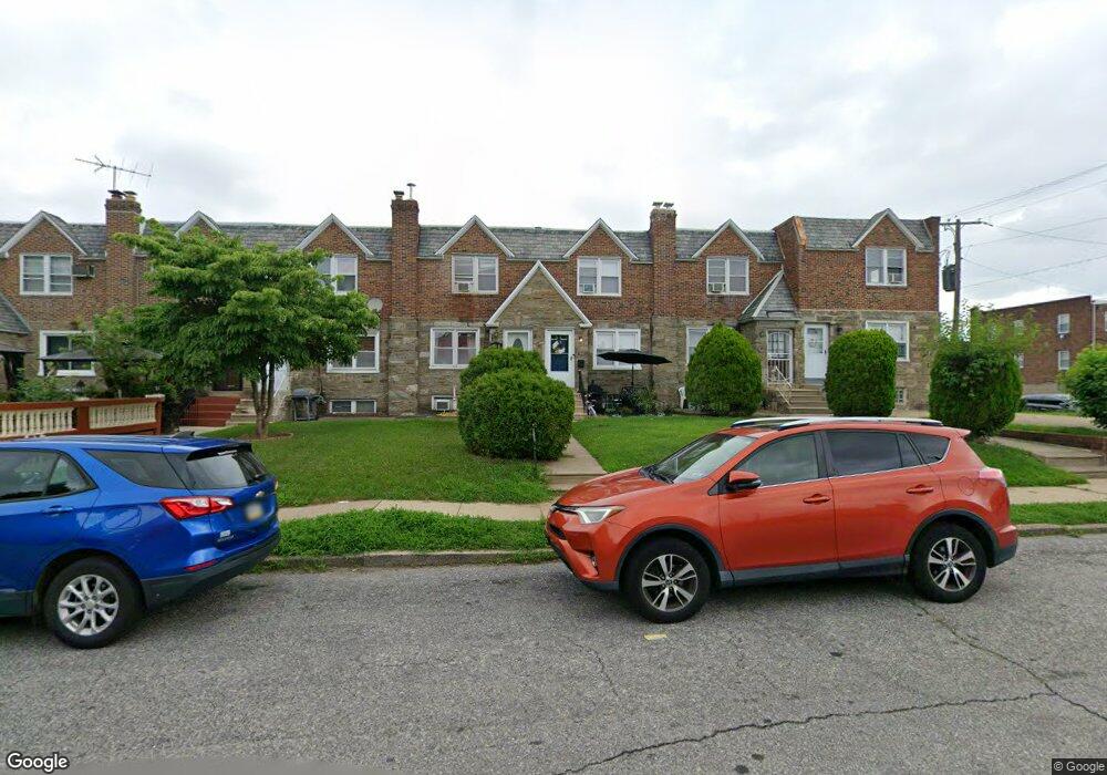
1269 Robbins St Philadelphia, PA 19111
Castor Gardens NeighborhoodEstimated Value: $233,205 - $260,000
3
Beds
2
Baths
1,376
Sq Ft
$181/Sq Ft
Est. Value
About This Home
This home is located at 1269 Robbins St, Philadelphia, PA 19111 and is currently estimated at $248,551, approximately $180 per square foot. 1269 Robbins St is a home located in Philadelphia County with nearby schools including Laura H Carnell School, Harding Warren G Middle School, and Samuel Fels High School.
Ownership History
Date
Name
Owned For
Owner Type
Purchase Details
Closed on
Feb 5, 2010
Sold by
Soto Philip and Soto Blanca
Bought by
Flomo Nathaniel and Flomo Irene K
Current Estimated Value
Home Financials for this Owner
Home Financials are based on the most recent Mortgage that was taken out on this home.
Original Mortgage
$133,536
Outstanding Balance
$90,431
Interest Rate
5.5%
Mortgage Type
FHA
Estimated Equity
$158,120
Purchase Details
Closed on
Dec 30, 1994
Sold by
Hartenbaum Sondra Moss and Moss Sarah
Bought by
Soto Philip and Soto Blanca
Create a Home Valuation Report for This Property
The Home Valuation Report is an in-depth analysis detailing your home's value as well as a comparison with similar homes in the area
Home Values in the Area
Average Home Value in this Area
Purchase History
| Date | Buyer | Sale Price | Title Company |
|---|---|---|---|
| Flomo Nathaniel | $136,000 | First American Title Ins Co | |
| Soto Philip | $53,000 | -- |
Source: Public Records
Mortgage History
| Date | Status | Borrower | Loan Amount |
|---|---|---|---|
| Open | Flomo Nathaniel | $133,536 |
Source: Public Records
Tax History Compared to Growth
Tax History
| Year | Tax Paid | Tax Assessment Tax Assessment Total Assessment is a certain percentage of the fair market value that is determined by local assessors to be the total taxable value of land and additions on the property. | Land | Improvement |
|---|---|---|---|---|
| 2025 | $2,580 | $225,200 | $45,040 | $180,160 |
| 2024 | $2,580 | $225,200 | $45,040 | $180,160 |
| 2023 | $2,580 | $184,300 | $36,860 | $147,440 |
| 2022 | $1,740 | $184,300 | $36,860 | $147,440 |
| 2021 | $1,740 | $0 | $0 | $0 |
| 2020 | $1,740 | $0 | $0 | $0 |
| 2019 | $1,670 | $0 | $0 | $0 |
| 2018 | $1,701 | $0 | $0 | $0 |
| 2017 | $1,701 | $0 | $0 | $0 |
| 2016 | $1,701 | $0 | $0 | $0 |
| 2015 | $1,628 | $0 | $0 | $0 |
| 2014 | -- | $121,500 | $25,462 | $96,038 |
| 2012 | -- | $16,064 | $2,042 | $14,022 |
Source: Public Records
Map
Nearby Homes
- 1227 Hale St
- 1217 Hale St
- 1238 Elbridge St
- 6239 Castor Ave
- 1205 Levick St
- 1414 Mckinley St
- 1154 Devereaux Ave
- 1427 Robbins Ave
- 1440 Robbins Ave
- 6135 Castor Ave
- 6119 Belden St
- 1453 Mckinley St
- 1139 Elbridge St
- 1350 Greeby St
- 1344 Greeby St
- 6232 Summerdale Ave
- 1328 Greeby St
- 1326 Greeby St
- 6111 Castor Ave
- 1343 Greeby St
- 1271 Robbins St
- 1273 Robbins St
- 1267 Robbins St
- 1275 Robbins St
- 1265 Robbins St
- 1263 Robbins St
- 1261 Robbins St
- 1259 Robbins St
- 1272 Stirling St
- 1270 Stirling St
- 1257 Robbins St
- 1266 Stirling St
- 1268 Stirling St
- 1274 Stirling St Unit 3
- 1274 Stirling St
- 1264 Stirling St
- 1255 Robbins St
- 1262 Stirling St
- 1260 Stirling St
- 1301 Robbins St