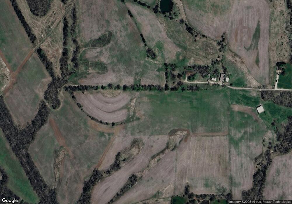
12693 Highway O New London, MO 63459
Estimated Value: $290,000 - $519,720
--
Bed
--
Bath
1,807
Sq Ft
$209/Sq Ft
Est. Value
About This Home
This home is located at 12693 Highway O, New London, MO 63459 and is currently estimated at $377,240, approximately $208 per square foot. 12693 Highway O is a home with nearby schools including Hannibal Senior High School.
Ownership History
Date
Name
Owned For
Owner Type
Purchase Details
Closed on
Nov 27, 2024
Sold by
Epperson Kenneth A and Epperson Rachel L
Bought by
Campbell Lynn E and Campbell Diana L
Current Estimated Value
Purchase Details
Closed on
Jul 15, 2024
Sold by
Campbell Lynn E and Campbell Diana L
Bought by
Epperson Rachel L
Purchase Details
Closed on
Jun 4, 2021
Sold by
Campbell Larry E and Campbell Shelley
Bought by
Big River Disposal Inc
Create a Home Valuation Report for This Property
The Home Valuation Report is an in-depth analysis detailing your home's value as well as a comparison with similar homes in the area
Home Values in the Area
Average Home Value in this Area
Purchase History
| Date | Buyer | Sale Price | Title Company |
|---|---|---|---|
| Campbell Lynn E | -- | None Listed On Document | |
| Campbell Lynn E | -- | None Listed On Document | |
| Epperson Rachel L | -- | None Listed On Document | |
| Big River Disposal Inc | -- | None Available |
Source: Public Records
Tax History Compared to Growth
Tax History
| Year | Tax Paid | Tax Assessment Tax Assessment Total Assessment is a certain percentage of the fair market value that is determined by local assessors to be the total taxable value of land and additions on the property. | Land | Improvement |
|---|---|---|---|---|
| 2024 | $1,853 | $31,100 | $9,670 | $21,430 |
| 2023 | $1,669 | $31,100 | $9,670 | $21,430 |
| 2022 | $1,667 | $31,100 | $9,670 | $21,430 |
| 2021 | $1,721 | $32,190 | $10,160 | $22,030 |
| 2020 | $1,821 | $33,340 | $10,160 | $23,180 |
| 2019 | $1,826 | $33,340 | $10,160 | $23,180 |
| 2018 | $1,752 | $31,830 | $10,190 | $21,640 |
| 2017 | $1,701 | $31,830 | $10,190 | $21,640 |
| 2016 | $1,678 | $32,060 | $10,190 | $21,870 |
| 2015 | -- | $32,100 | $10,190 | $21,910 |
| 2014 | -- | $28,790 | $8,720 | $20,070 |
| 2013 | -- | $28,790 | $8,720 | $20,070 |
Source: Public Records
Map
Nearby Homes
- 13103 Old 79
- 12397 Apache Dr
- 73 New London Gravel Rd
- 55820 Lone Cedar Trail
- 55199 Highway M
- 5 Lone Cedar Trail
- 1927 Owens Ave
- 10321 Old 79
- 1716 36th St
- 3710 Tilden St
- 1608 Singleton Ave
- 501 E 4th St
- 408 E 4th St
- 6 State Route O
- 1924 Booker St
- 809 Lindell Ave
- 0 Minnow St
- 19 Kitlaw Dr
- 18 Kitlaw Dr
- 3 Lot 3 Ismail Estates
- 12691 Highway O
- 0 State Highway O
- 12642 Highway O
- 12999 Green Meadows Place
- 20 Camp Creek Ln
- 57780 Camp Creek Ln
- 3 Walnut Hills Acres
- 3Acres Walnut Hills
- 0 Walnut Hills Unit 80018919
- 0 40 Acres M L Walnut Hills Unit 90033878
- 0 Walnut Hills Unit 12013985
- 0 5 4 Acres Walnut Hills Place Unit 13066040
- 0 5 4 Acres Walnut Hills Place Unit 14056993
- 0 Walnut Hills Unit 15013666
- 0 Walnut Hills Unit 15026828
- 13089 Whispering Meadows Place
- 12923 Green Meadows Place
- 58160 Walnut Hills Place
- 13016 Whispering Meadows Place
- 5 Walnut Place
