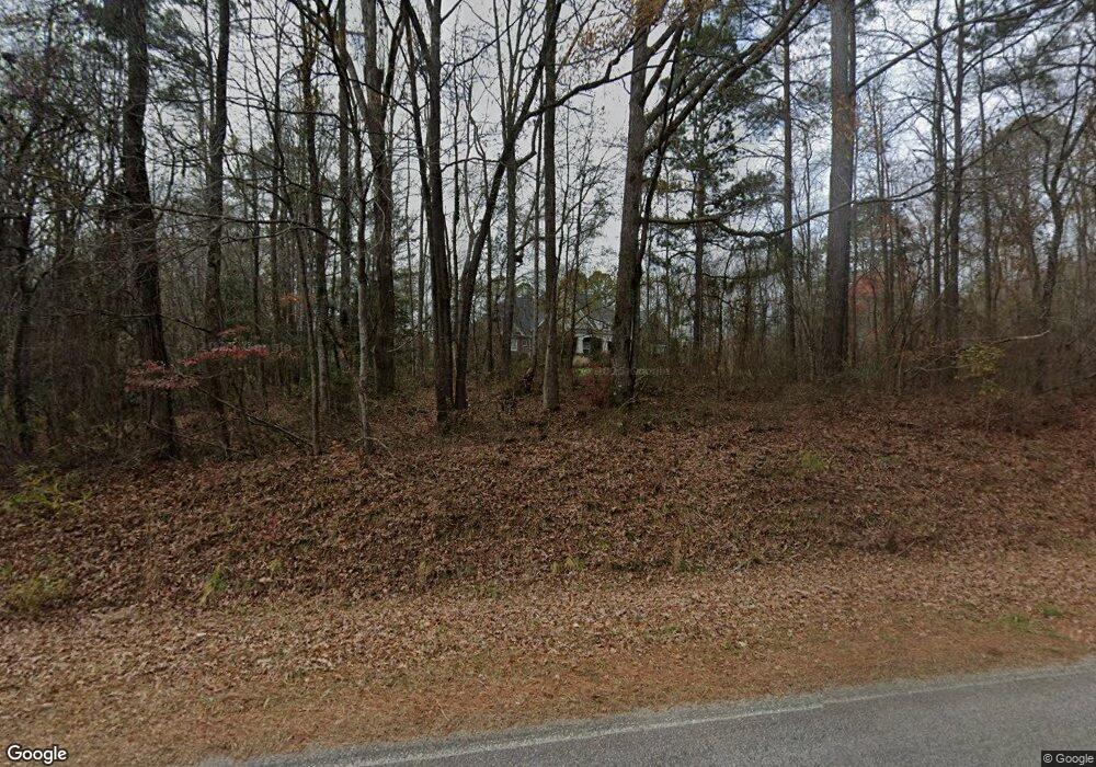
12695 Covered Bridge Rd Zebulon, NC 27597
Estimated Value: $540,000 - $1,127,627
3
Beds
4
Baths
3,478
Sq Ft
$219/Sq Ft
Est. Value
About This Home
This home is located at 12695 Covered Bridge Rd, Zebulon, NC 27597 and is currently estimated at $762,907, approximately $219 per square foot. 12695 Covered Bridge Rd is a home with nearby schools including Corinth Holders Elementary School, Archer Lodge Middle School, and Corinth Holders High School.
Ownership History
Date
Name
Owned For
Owner Type
Purchase Details
Closed on
May 23, 2024
Sold by
Goff Leticia R
Bought by
Goff Edwin C
Current Estimated Value
Purchase Details
Closed on
Jun 26, 2013
Sold by
Strickland Laura W and Strickland Howard B
Bought by
Goff Edwin C and Goff Leticia R
Purchase Details
Closed on
Dec 27, 2007
Sold by
Douglas Doris W and Wilder Charles L
Bought by
Strickland Laura W
Create a Home Valuation Report for This Property
The Home Valuation Report is an in-depth analysis detailing your home's value as well as a comparison with similar homes in the area
Home Values in the Area
Average Home Value in this Area
Purchase History
| Date | Buyer | Sale Price | Title Company |
|---|---|---|---|
| Goff Edwin C | -- | None Listed On Document | |
| Goff Edwin C | -- | None Listed On Document | |
| Goff Edwin C | $95,000 | None Available | |
| Strickland Laura W | -- | None Available |
Source: Public Records
Tax History Compared to Growth
Tax History
| Year | Tax Paid | Tax Assessment Tax Assessment Total Assessment is a certain percentage of the fair market value that is determined by local assessors to be the total taxable value of land and additions on the property. | Land | Improvement |
|---|---|---|---|---|
| 2025 | $5,703 | $1,141,600 | $371,140 | $770,460 |
| 2024 | $4,607 | $647,420 | $145,620 | $501,800 |
| 2023 | $4,574 | $647,420 | $145,620 | $501,800 |
| 2022 | $4,811 | $647,420 | $145,620 | $501,800 |
| 2021 | $4,819 | $647,420 | $145,620 | $501,800 |
| 2020 | $4,942 | $647,420 | $145,620 | $501,800 |
| 2019 | $4,946 | $647,420 | $145,620 | $501,800 |
| 2018 | $4,325 | $541,820 | $99,400 | $442,420 |
| 2017 | $4,768 | $541,820 | $99,400 | $442,420 |
| 2016 | $4,768 | $541,820 | $99,400 | $442,420 |
| 2015 | -- | $82,070 | $82,070 | $0 |
| 2014 | -- | $82,070 | $82,070 | $0 |
Source: Public Records
Map
Nearby Homes
- 13180 N Carolina 96
- The Garner Plan at Parkers Landing - Parker's Landing
- The Smithfield Plan at Parkers Landing - Parker's Landing
- The Selma Plan at Parkers Landing - Parker's Landing
- The Raleigh Plan at Parkers Landing - Parker's Landing
- The Holly Plan at Parkers Landing - Parker's Landing
- The Guilford Plan at Parkers Landing - Parker's Landing
- The Clayton Plan at Parkers Landing - Parker's Landing
- The Cary Plan at Parkers Landing - Parker's Landing
- The Apex Plan at Parkers Landing - Parker's Landing
- 31 Sweet Birch Ave
- 13289 Covered Bridge Rd
- 145 Aylebury Ridge
- 237 Sourgum Ct
- 203 Sourgum Ct
- 158 Sourgum Ct
- 138 Sourgum Ct
- 162 Gumtop Dr
- 157 Gumtop Dr
- 194 Cherry Birch Ln
- 12557 Covered Bridge Rd
- 12490 Covered Bridge Rd
- 12399 Covered Bridge Rd
- 12785 Covered Bridge Rd
- 12800 Covered Bridge Rd
- 12285 Covered Bridge Rd
- 13037 Nc 96 Hwy N
- 13150 Nc 96 Hwy N
- 12913 Covered Bridge Rd
- 308 Strickland Hinton Rd
- 308 Strickland Hinton Rd
- 13096 Nc 96 Hwy
- 13096 Nc 96 Hwy Unit 4.3 Acres
- 13096 Nc 96 Hwy Unit 16.93 Acres
- 12872 Nc 96 Hwy N
- 13095 Nc 96 Hwy N
- 12864 Covered Bridge Rd
- 322 Strickland Hinton Rd
- 152 Strickland Hinton Rd
- 186 Strickland Hinton Rd
