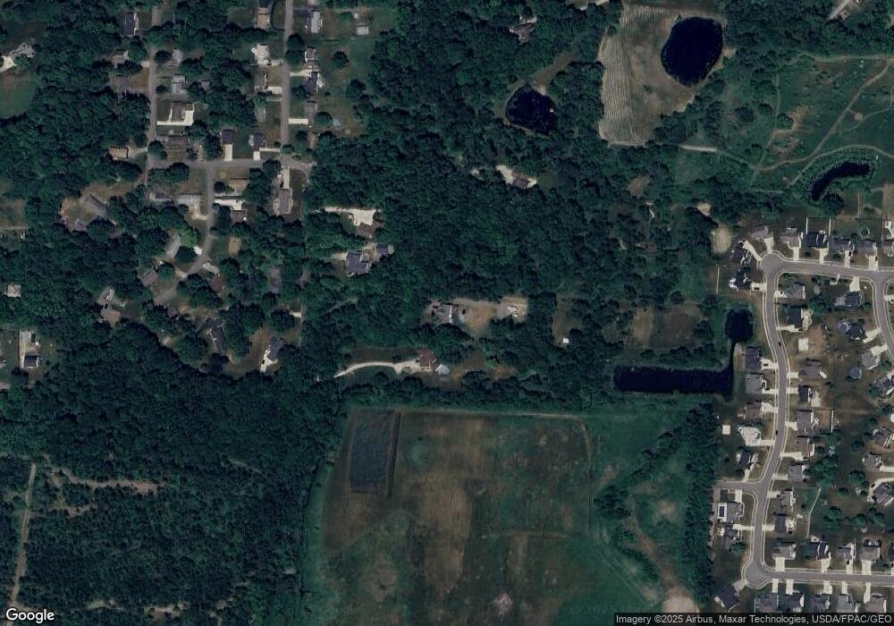
12698 Amber Cir NW Uniontown, OH 44685
Estimated Value: $478,000 - $526,000
3
Beds
3
Baths
2,310
Sq Ft
$215/Sq Ft
Est. Value
About This Home
This home is located at 12698 Amber Cir NW, Uniontown, OH 44685 and is currently estimated at $497,515, approximately $215 per square foot. 12698 Amber Cir NW is a home located in Stark County with nearby schools including Lake Middle/High School, Lake Center Christian School, and Mayfair Christian School.
Ownership History
Date
Name
Owned For
Owner Type
Purchase Details
Closed on
May 10, 2004
Sold by
Hooper Marilyn R
Bought by
Bargmann Anthony and Moser Julie C
Current Estimated Value
Home Financials for this Owner
Home Financials are based on the most recent Mortgage that was taken out on this home.
Original Mortgage
$220,000
Outstanding Balance
$104,091
Interest Rate
5.63%
Mortgage Type
Purchase Money Mortgage
Estimated Equity
$393,424
Purchase Details
Closed on
Sep 12, 1997
Sold by
Lake Dev Ltd
Bought by
Hooper Marilyn R
Create a Home Valuation Report for This Property
The Home Valuation Report is an in-depth analysis detailing your home's value as well as a comparison with similar homes in the area
Home Values in the Area
Average Home Value in this Area
Purchase History
| Date | Buyer | Sale Price | Title Company |
|---|---|---|---|
| Bargmann Anthony | $282,000 | Quality Title Agency Inc | |
| Hooper Marilyn R | $42,900 | -- |
Source: Public Records
Mortgage History
| Date | Status | Borrower | Loan Amount |
|---|---|---|---|
| Open | Bargmann Anthony | $220,000 |
Source: Public Records
Tax History Compared to Growth
Tax History
| Year | Tax Paid | Tax Assessment Tax Assessment Total Assessment is a certain percentage of the fair market value that is determined by local assessors to be the total taxable value of land and additions on the property. | Land | Improvement |
|---|---|---|---|---|
| 2025 | -- | $163,700 | $65,940 | $97,760 |
| 2024 | -- | $163,700 | $65,940 | $97,760 |
| 2023 | $6,733 | $130,940 | $48,830 | $82,110 |
| 2022 | $6,674 | $129,330 | $48,830 | $80,500 |
| 2021 | $6,745 | $129,330 | $48,830 | $80,500 |
| 2020 | $6,530 | $111,830 | $42,070 | $69,760 |
| 2019 | $6,746 | $116,390 | $46,630 | $69,760 |
| 2018 | $6,755 | $116,390 | $46,630 | $69,760 |
| 2017 | $6,486 | $103,530 | $33,810 | $69,720 |
| 2016 | $6,499 | $103,530 | $33,810 | $69,720 |
| 2015 | $6,498 | $103,530 | $33,810 | $69,720 |
| 2014 | $420 | $105,110 | $32,520 | $72,590 |
| 2013 | $3,210 | $105,110 | $32,520 | $72,590 |
Source: Public Records
Map
Nearby Homes
- 12855 Redwood Ave NW
- 0 Pine St NW
- 843 Brodie Ct
- 835 Brodie Ct
- 12494 Bridgemont Ave NW
- 12235 Cantburg Ave NW
- 2693 Ledgestone Dr NW
- 13025 Sunset Cir NW
- 2335 Ledgestone Dr NW
- 2273 Ledgestone Dr NW
- 2319 Ledgestone Dr NW
- 2255 Ledgestone Dr NW
- 2334 Ledgestone Dr NW
- 2244 Ledgestone Dr NW
- 2316 Ledgestone Dr NW
- 3771 Edison St NW
- 2490 Ledgestone Dr NW
- 3979 Northdale St NW
- 3885 Hugh St NW
- 2754 Irma Dr
- 12678 Amber Cir NW
- 12730 Amber Cir NW
- 12758 Amber Cir NW
- 12786 Amber Cir NW
- 12677 Amber Cir NW
- 12717 Amber Cir NW
- 12701 Amber Cir NW
- 12735 Amber Cir NW
- 12800 Redwood Ave NW
- 12488 Amber Cir NW
- 12595 Amber Cir NW
- 12506 Amber Cir NW
- 12474 Amber Cir NW
- 12820 Redwood Ave NW
- 12460 Amber Cir NW
- 12801 Redwood Ave NW
- 12838 Redwood Ave NW
- 12536 Amber Cir NW
- 12505 Amber Cir NW
- 3330 Polly St NW
