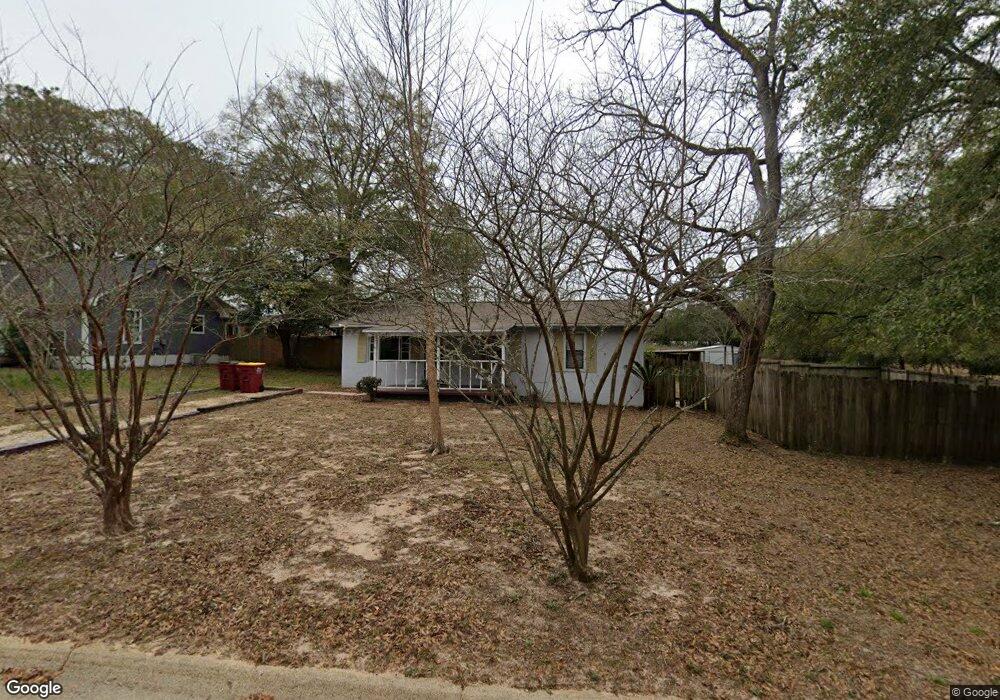
127 10th Ave Crestview, FL 32536
Estimated Value: $101,000 - $186,000
2
Beds
1
Bath
1,131
Sq Ft
$124/Sq Ft
Est. Value
About This Home
This home is located at 127 10th Ave, Crestview, FL 32536 and is currently estimated at $140,703, approximately $124 per square foot. 127 10th Ave is a home located in Okaloosa County with nearby schools including Bob Sikes Elementary School, Davidson Middle School, and Crestview High School.
Ownership History
Date
Name
Owned For
Owner Type
Purchase Details
Closed on
May 18, 2021
Sold by
Morgan Mortgage Acquisition Corp
Bought by
Thomas Yaletha
Current Estimated Value
Purchase Details
Closed on
Sep 23, 2020
Sold by
Doty Sean K and Mast Kathryn Sharrett
Bought by
J P Morgan Mortgage Acquisition Corp
Purchase Details
Closed on
Jul 29, 2004
Sold by
Green Michael David and Green Sarah Michelle
Bought by
Allen Rebecca K
Home Financials for this Owner
Home Financials are based on the most recent Mortgage that was taken out on this home.
Original Mortgage
$55,000
Interest Rate
6.24%
Mortgage Type
Purchase Money Mortgage
Create a Home Valuation Report for This Property
The Home Valuation Report is an in-depth analysis detailing your home's value as well as a comparison with similar homes in the area
Home Values in the Area
Average Home Value in this Area
Purchase History
| Date | Buyer | Sale Price | Title Company |
|---|---|---|---|
| Thomas Yaletha | $88,000 | None Available | |
| J P Morgan Mortgage Acquisition Corp | -- | Attorney | |
| Allen Rebecca K | $65,000 | Accu Title Agency |
Source: Public Records
Mortgage History
| Date | Status | Borrower | Loan Amount |
|---|---|---|---|
| Previous Owner | Allen Rebecca K | $55,000 |
Source: Public Records
Tax History
| Year | Tax Paid | Tax Assessment Tax Assessment Total Assessment is a certain percentage of the fair market value that is determined by local assessors to be the total taxable value of land and additions on the property. | Land | Improvement |
|---|---|---|---|---|
| 2025 | $1,441 | $90,789 | $12,917 | $77,872 |
| 2024 | $1,529 | $87,333 | $11,743 | $75,590 |
| 2023 | $1,529 | $94,529 | $10,974 | $83,555 |
| 2022 | $1,446 | $88,791 | $10,256 | $78,535 |
| 2021 | $1,103 | $65,868 | $9,762 | $56,106 |
| 2020 | $1,120 | $68,330 | $17,228 | $51,102 |
| 2019 | $1,013 | $59,516 | $19,142 | $40,374 |
| 2018 | $975 | $56,801 | $0 | $0 |
| 2017 | $937 | $53,850 | $0 | $0 |
| 2016 | $923 | $53,294 | $0 | $0 |
| 2015 | $893 | $50,481 | $0 | $0 |
| 2014 | $860 | $51,319 | $0 | $0 |
Source: Public Records
Map
Nearby Homes
Your Personal Tour Guide
Ask me questions while you tour the home.