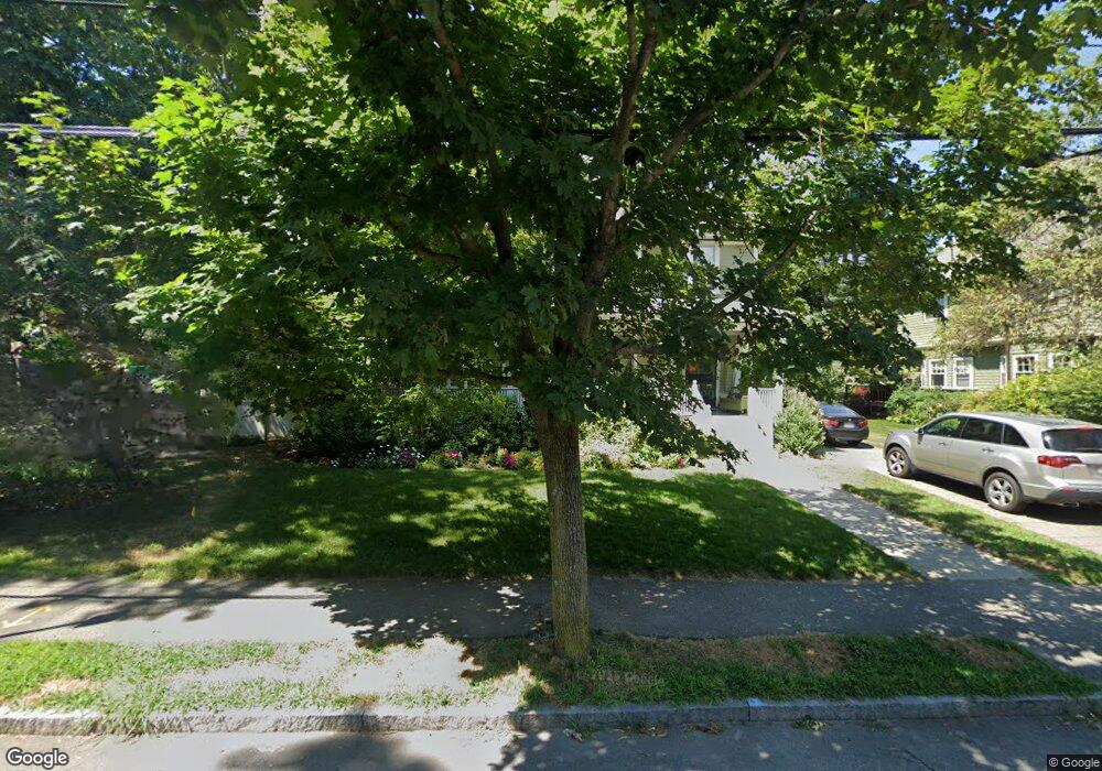
127 Allerton Rd Newton Highlands, MA 02461
Newton Highlands NeighborhoodEstimated Value: $2,169,000 - $2,434,000
4
Beds
5
Baths
3,039
Sq Ft
$761/Sq Ft
Est. Value
About This Home
This home is located at 127 Allerton Rd, Newton Highlands, MA 02461 and is currently estimated at $2,313,808, approximately $761 per square foot. 127 Allerton Rd is a home located in Middlesex County with nearby schools including Mason Rice Elementary School, Charles E Brown Middle School, and Newton South High School.
Ownership History
Date
Name
Owned For
Owner Type
Purchase Details
Closed on
Aug 14, 2012
Sold by
Detjen Michael J and Detjen Jodi E
Bought by
127 Allerton Road Nt and Detjen Michael J
Current Estimated Value
Purchase Details
Closed on
Jul 23, 2012
Sold by
127 Allerton Road Nt and Detjen Michael J
Bought by
Detjen Michael J and Detjen Jodi E
Purchase Details
Closed on
Dec 23, 1998
Sold by
Rayman Anne S and Singer Robert E
Bought by
Detjen Jodi E and Detjen Michael J
Home Financials for this Owner
Home Financials are based on the most recent Mortgage that was taken out on this home.
Original Mortgage
$475,500
Interest Rate
6.89%
Mortgage Type
Purchase Money Mortgage
Create a Home Valuation Report for This Property
The Home Valuation Report is an in-depth analysis detailing your home's value as well as a comparison with similar homes in the area
Home Values in the Area
Average Home Value in this Area
Purchase History
| Date | Buyer | Sale Price | Title Company |
|---|---|---|---|
| 127 Allerton Road Nt | -- | -- | |
| Detjen Michael J | -- | -- | |
| Detjen Jodi E | $594,500 | -- |
Source: Public Records
Mortgage History
| Date | Status | Borrower | Loan Amount |
|---|---|---|---|
| Previous Owner | Detjen Jodi E | $325,000 | |
| Previous Owner | Detjen Jodi E | $100,000 | |
| Previous Owner | Detjen Jodi E | $475,500 |
Source: Public Records
Tax History Compared to Growth
Tax History
| Year | Tax Paid | Tax Assessment Tax Assessment Total Assessment is a certain percentage of the fair market value that is determined by local assessors to be the total taxable value of land and additions on the property. | Land | Improvement |
|---|---|---|---|---|
| 2025 | $19,282 | $1,967,600 | $921,000 | $1,046,600 |
| 2024 | $17,939 | $1,838,000 | $894,200 | $943,800 |
| 2023 | $17,102 | $1,680,000 | $686,700 | $993,300 |
| 2022 | $16,365 | $1,555,600 | $635,800 | $919,800 |
| 2021 | $15,790 | $1,467,500 | $599,800 | $867,700 |
| 2020 | $15,321 | $1,467,500 | $599,800 | $867,700 |
| 2019 | $14,889 | $1,424,800 | $582,300 | $842,500 |
| 2018 | $13,978 | $1,291,900 | $526,100 | $765,800 |
| 2017 | $13,553 | $1,218,800 | $496,300 | $722,500 |
| 2016 | $12,963 | $1,139,100 | $463,800 | $675,300 |
| 2015 | $12,360 | $1,064,600 | $433,500 | $631,100 |
Source: Public Records
Map
Nearby Homes
- 1597 Centre St Unit 1597
- 1597 Centre St
- 1623-1625 Centre St
- 1629 Centre St
- 1151 Walnut St Unit 205
- 1151 Walnut St Unit 405
- 1151 Walnut St Unit 207
- 2 Raeburn Terrace
- 956 Walnut St Unit 4
- 956 Walnut St Unit 7
- 956 Walnut St Unit 6
- 125 Oakdale Rd
- 671 Boylston St
- 1292 Walnut St
- 42 Sunhill Ln
- 5 Halcyon Rd
- 1308 Walnut St
- 625 Boylston St
- 628 Boylston St
- 28 Wilson Cir Unit 28
- 121 Allerton Rd
- 137 Allerton Rd
- 119 Allerton Rd
- 128 Allerton Rd
- 124 Allerton Rd
- 20 Rogers St
- 138 Allerton Rd
- 118 Allerton Rd
- 151 Allerton Rd
- 115 Allerton Rd
- 146 Allerton Rd
- 1495 Centre St
- 242 Lake Ave
- 1489 Centre St
- 1483 Centre St
- 154 Allerton Rd
- 109 Allerton Rd
- 161 Allerton Rd
- 1507 Centre St
- 12 Cushing St