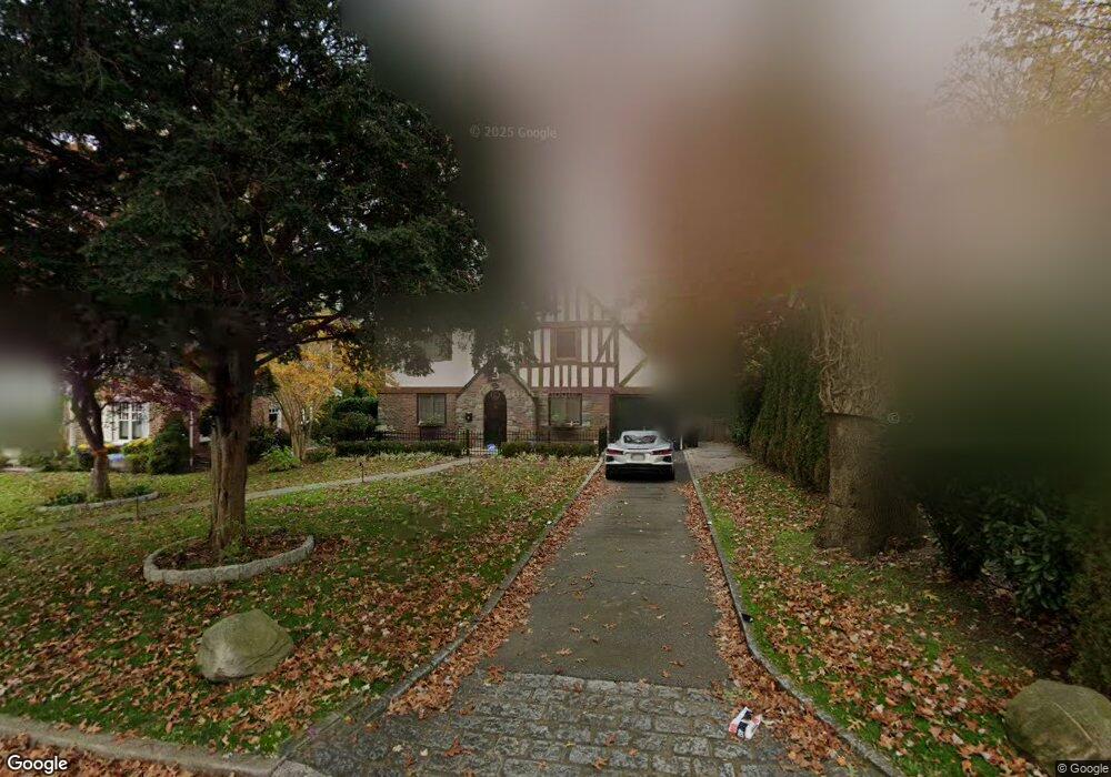
127 Andrew Rd Manhasset, NY 11030
Estimated Value: $1,516,236 - $1,862,000
--
Bed
3
Baths
1,428
Sq Ft
$1,183/Sq Ft
Est. Value
About This Home
This home is located at 127 Andrew Rd, Manhasset, NY 11030 and is currently estimated at $1,689,118, approximately $1,182 per square foot. 127 Andrew Rd is a home located in Nassau County with nearby schools including Manhasset Secondary School, St Mary's Elementary School, and Our Lady of Grace Montessori School.
Ownership History
Date
Name
Owned For
Owner Type
Purchase Details
Closed on
Mar 14, 2007
Sold by
Venneri David
Bought by
Siller Keith
Current Estimated Value
Purchase Details
Closed on
Jun 16, 2005
Sold by
Mcnamara Robert
Bought by
Venneri David
Purchase Details
Closed on
May 13, 2004
Sold by
Pomponio Robert
Bought by
Mcnamara Robert
Purchase Details
Closed on
Jun 20, 2001
Sold by
Craco Louis A
Bought by
Pomponio Robert
Create a Home Valuation Report for This Property
The Home Valuation Report is an in-depth analysis detailing your home's value as well as a comparison with similar homes in the area
Home Values in the Area
Average Home Value in this Area
Purchase History
| Date | Buyer | Sale Price | Title Company |
|---|---|---|---|
| Siller Keith | $1,195,000 | -- | |
| Venneri David | $1,050,000 | -- | |
| Mcnamara Robert | $840,000 | -- | |
| Pomponio Robert | $652,500 | Higgins |
Source: Public Records
Tax History Compared to Growth
Tax History
| Year | Tax Paid | Tax Assessment Tax Assessment Total Assessment is a certain percentage of the fair market value that is determined by local assessors to be the total taxable value of land and additions on the property. | Land | Improvement |
|---|---|---|---|---|
| 2025 | $15,085 | $913 | $507 | $406 |
| 2024 | $4,997 | $942 | $524 | $418 |
| 2023 | $13,726 | $968 | $538 | $430 |
| 2022 | $13,726 | $968 | $538 | $430 |
| 2021 | $12,125 | $1,013 | $490 | $523 |
| 2020 | $11,916 | $1,356 | $1,355 | $1 |
| 2019 | $13,485 | $1,453 | $1,452 | $1 |
| 2018 | $12,970 | $1,550 | $0 | $0 |
| 2017 | $8,374 | $1,653 | $1,604 | $49 |
| 2016 | $13,644 | $1,653 | $1,604 | $49 |
| 2015 | $5,453 | $1,773 | $1,720 | $53 |
| 2014 | $5,453 | $1,773 | $1,720 | $53 |
| 2013 | $5,082 | $1,773 | $1,720 | $53 |
Source: Public Records
Map
Nearby Homes
- 60 Thayer Rd
- 44 Old ox Rd
- 305 Nassau Ave
- 50 Eakins Rd
- 39 Hawthorne Place
- 53 Stuart Place
- 414 Hunt Ln
- 90 Gaynor Ave
- 65 Old Mill Rd
- 15 Gaynor Ave Unit 2H
- 80 Clapham Ave
- 17 Pinewood Rd
- 4 Kimson Ct
- 17 Highland Terrace
- 20 Mill Spring Rd
- 42 Mora Ct
- 207 Mill Spring Rd
- 183 Mill Spring Rd
- 191 Elderfields Rd
- 112 Chapel Rd