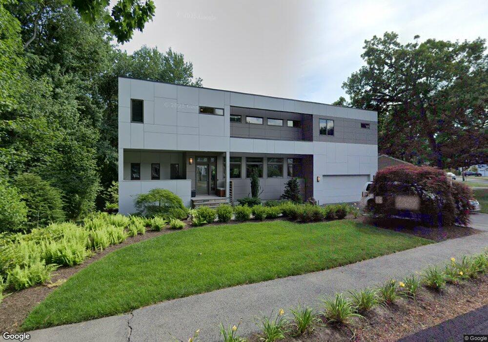
127 Ardmore Rd Needham Heights, MA 02494
Estimated Value: $1,038,000 - $2,113,000
4
Beds
4
Baths
1,243
Sq Ft
$1,382/Sq Ft
Est. Value
About This Home
This home is located at 127 Ardmore Rd, Needham Heights, MA 02494 and is currently estimated at $1,718,315, approximately $1,382 per square foot. 127 Ardmore Rd is a home located in Norfolk County with nearby schools including Eliot Elementary School, High Rock Middle School, and Pollard Middle School.
Ownership History
Date
Name
Owned For
Owner Type
Purchase Details
Closed on
Jun 30, 2004
Sold by
Maguire Brian T and Maguire Michelle L
Bought by
Maxwell Christopher A and Maxwell Tamara P
Current Estimated Value
Purchase Details
Closed on
Nov 26, 2001
Sold by
Vanamson Peter J and Vanamson Page L
Bought by
Maguire Brian T and Maguire Michelle L
Purchase Details
Closed on
Aug 27, 1993
Sold by
Howland Dorothy A
Bought by
Vanamson Peter J and Vanamson Page L
Create a Home Valuation Report for This Property
The Home Valuation Report is an in-depth analysis detailing your home's value as well as a comparison with similar homes in the area
Home Values in the Area
Average Home Value in this Area
Purchase History
| Date | Buyer | Sale Price | Title Company |
|---|---|---|---|
| Maxwell Christopher A | $455,000 | -- | |
| Maxwell Christopher A | $455,000 | -- | |
| Maguire Brian T | $384,000 | -- | |
| Maguire Brian T | $384,000 | -- | |
| Vanamson Peter J | $190,000 | -- | |
| Vanamson Peter J | $190,000 | -- |
Source: Public Records
Mortgage History
| Date | Status | Borrower | Loan Amount |
|---|---|---|---|
| Open | Vanamson Peter J | $225,000 | |
| Previous Owner | Vanamson Peter J | $24,000 |
Source: Public Records
Tax History Compared to Growth
Tax History
| Year | Tax Paid | Tax Assessment Tax Assessment Total Assessment is a certain percentage of the fair market value that is determined by local assessors to be the total taxable value of land and additions on the property. | Land | Improvement |
|---|---|---|---|---|
| 2025 | $20,384 | $1,923,000 | $760,200 | $1,162,800 |
| 2024 | $19,459 | $1,554,200 | $491,400 | $1,062,800 |
| 2023 | $19,182 | $1,471,000 | $491,400 | $979,600 |
| 2022 | $18,282 | $1,367,400 | $439,900 | $927,500 |
| 2021 | $17,817 | $1,367,400 | $439,900 | $927,500 |
| 2020 | $17,300 | $1,385,100 | $439,900 | $945,200 |
| 2019 | $13,749 | $1,109,700 | $400,900 | $708,800 |
| 2018 | $13,183 | $1,109,700 | $400,900 | $708,800 |
| 2017 | $12,154 | $1,022,200 | $400,900 | $621,300 |
| 2016 | $11,796 | $1,022,200 | $400,900 | $621,300 |
| 2015 | $11,541 | $1,022,200 | $400,900 | $621,300 |
| 2014 | $10,847 | $931,900 | $335,900 | $596,000 |
Source: Public Records
Map
Nearby Homes
- 48 Taylor St
- 443 Central Ave
- 78 Hunnewell St
- 14 Hunnewell St
- 310 Oakland St
- 70 Booth St
- 263 Hunnewell St
- 206 Cedar St
- 35 Andrea Cir
- 7 Avery St
- 208 Webster St
- 132 Hillside Ave
- 381 Hunnewell St Unit 381
- 379 Hunnewell St Unit 379
- 400 Hunnewell St Unit 103
- 6 Willow St
- 760 Highland Ave Unit 2
- 36 Davenport Rd
- 181 Saint Mary St
- 71 Brookside Rd
- 4 Taylor St
- 12 Taylor St
- 128 Ardmore Rd
- 15 Taylor St
- 15 Taylor St Unit 1
- 22 Taylor St
- 120 Ardmore Rd
- 106 Ardmore Rd
- 393 Central Ave
- 393 Central Ave Unit 1
- 393 Central Ave Unit 1,393
- 95 Ardmore Rd
- 23 Taylor St
- 30 Taylor St
- 30 Taylor St
- 100 Ardmore Rd
- 11 Crane St
- 89 Ardmore Rd
- 31 Taylor St
- 38 Taylor St