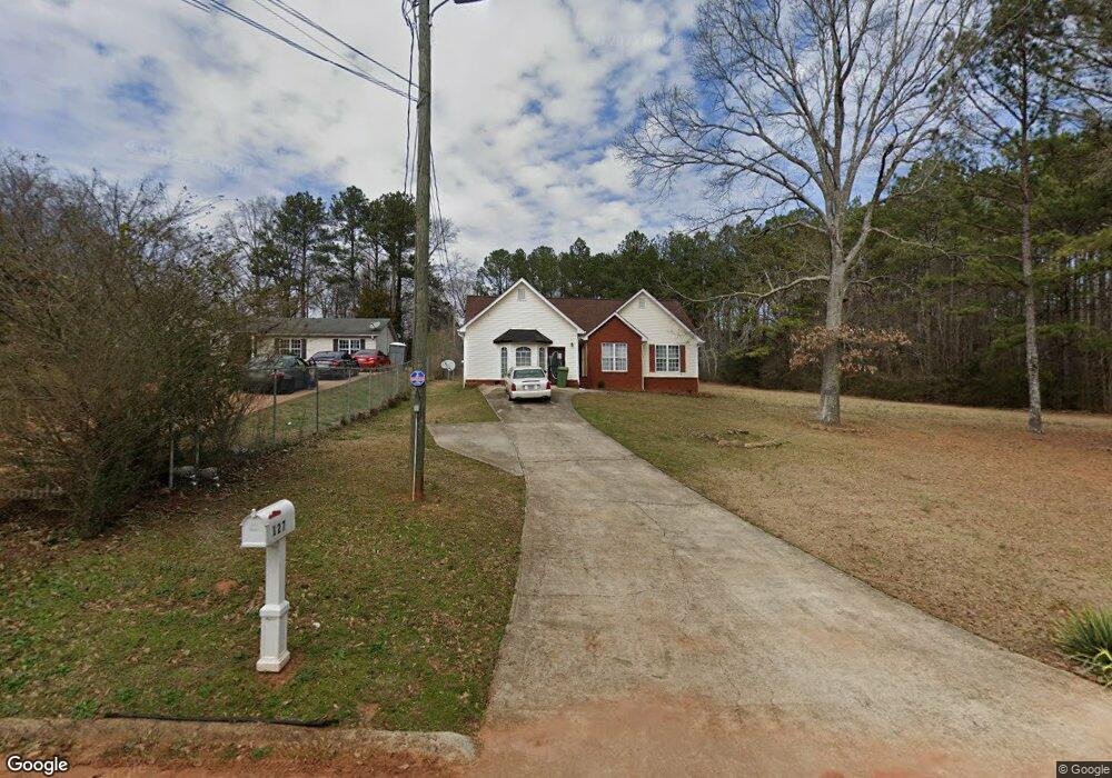
127 Armstead Cir Griffin, GA 30223
Spalding County NeighborhoodEstimated Value: $206,000 - $301,000
3
Beds
2
Baths
1,634
Sq Ft
$146/Sq Ft
Est. Value
About This Home
This home is located at 127 Armstead Cir, Griffin, GA 30223 and is currently estimated at $238,068, approximately $145 per square foot. 127 Armstead Cir is a home located in Spalding County with nearby schools including Atkinson Elementary School, Cowan Road Middle School, and Spalding High School.
Ownership History
Date
Name
Owned For
Owner Type
Purchase Details
Closed on
Apr 11, 2017
Sold by
Hutcherson Alfred
Bought by
Latagar Bennett Dementia
Current Estimated Value
Home Financials for this Owner
Home Financials are based on the most recent Mortgage that was taken out on this home.
Original Mortgage
$161,000
Outstanding Balance
$128,958
Interest Rate
4.3%
Mortgage Type
New Conventional
Estimated Equity
$109,110
Purchase Details
Closed on
Nov 21, 1986
Sold by
Crawford Clark H
Bought by
Hutcherson Alfred and Hutcherson Mattie O
Purchase Details
Closed on
Jun 3, 1954
Bought by
Crawford Clark H
Create a Home Valuation Report for This Property
The Home Valuation Report is an in-depth analysis detailing your home's value as well as a comparison with similar homes in the area
Home Values in the Area
Average Home Value in this Area
Purchase History
| Date | Buyer | Sale Price | Title Company |
|---|---|---|---|
| Latagar Bennett Dementia | $165,000 | -- | |
| Hutcherson Alfred | -- | -- | |
| Crawford Clark H | -- | -- |
Source: Public Records
Mortgage History
| Date | Status | Borrower | Loan Amount |
|---|---|---|---|
| Open | Latagar Bennett Dementia | $161,000 |
Source: Public Records
Tax History Compared to Growth
Tax History
| Year | Tax Paid | Tax Assessment Tax Assessment Total Assessment is a certain percentage of the fair market value that is determined by local assessors to be the total taxable value of land and additions on the property. | Land | Improvement |
|---|---|---|---|---|
| 2024 | $2,792 | $79,850 | $4,416 | $75,434 |
| 2023 | $2,792 | $79,744 | $2,650 | $77,094 |
| 2022 | $2,367 | $66,898 | $2,304 | $64,594 |
| 2021 | $1,994 | $56,653 | $2,304 | $54,349 |
| 2020 | $1,681 | $47,879 | $2,304 | $45,575 |
| 2019 | $1,715 | $47,879 | $2,304 | $45,575 |
| 2018 | $1,610 | $43,954 | $2,304 | $41,650 |
| 2017 | $1,634 | $43,954 | $2,304 | $41,650 |
| 2016 | $1,663 | $43,954 | $2,304 | $41,650 |
| 2015 | $1,817 | $46,618 | $2,304 | $44,314 |
| 2014 | $1,853 | $46,618 | $2,304 | $44,314 |
Source: Public Records
Map
Nearby Homes
- 1621 N Hill St
- 0 Short St Unit 10555372
- 0 Short St Unit 7572526
- 126 Callie Rd
- 1416 Spellman Ave
- 607 Lakewood Dr
- 1307 Wildwood Dr
- 1324 Spellman Ave
- 418 E Northwoods Dr
- 1406 Canterbury Rd
- 32 UNIT MUTLIPL Multiple
- 204 Derek Ct
- 1406 N 9th St
- 1315 Greenbriar Dr
- 204 Custer Cir
- 0 Jackson Rd Unit 10545729
- 221 Bleachery St
- 101 Behan Place
- 221 Lexington Ave
- 125 W Lexington Ave
- 123 Armstead Cir
- 129 Armstead Cir
- 131 Armstead Cir
- 119 Armstead Cir
- 133 Armstead Cir
- 135 Armstead Cir
- 117 Armstead Cir
- 137 Armstead Cir
- 132 Armstead Cir
- 209 Armstead Cir
- 115 Mcintosh Cir
- 113 Mcintosh Cir
- 117 Mcintosh Cir
- 111 Mcintosh Cir
- 1642 N Hill St
- 134 Armstead Cir
- 139 Armstead Cir
- 106 Armstead Cir
- 109 Mcintosh Cir
- 206 Armstead Cir