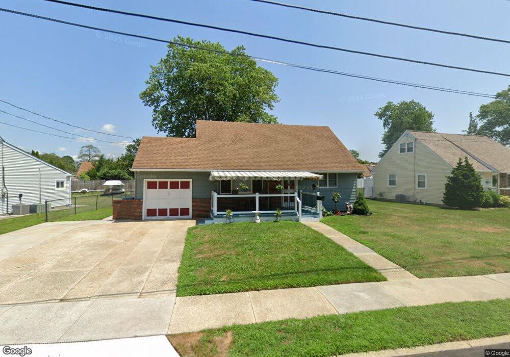
127 Bala Dr Somers Point, NJ 08244
Estimated Value: $351,570 - $453,000
--
Bed
--
Bath
1,426
Sq Ft
$273/Sq Ft
Est. Value
About This Home
This home is located at 127 Bala Dr, Somers Point, NJ 08244 and is currently estimated at $389,857, approximately $273 per square foot. 127 Bala Dr is a home located in Atlantic County with nearby schools including Mainland Regional High School, ChARTer TECH High School for the Performing Arts, and Saint Joseph Regional School.
Ownership History
Date
Name
Owned For
Owner Type
Purchase Details
Closed on
Oct 25, 2004
Sold by
Montagna Rita
Bought by
Montagna James and Montagna Jill
Current Estimated Value
Home Financials for this Owner
Home Financials are based on the most recent Mortgage that was taken out on this home.
Original Mortgage
$173,331
Outstanding Balance
$86,094
Interest Rate
5.71%
Estimated Equity
$303,763
Purchase Details
Closed on
Jul 6, 1998
Sold by
Montagna Rita C and Oliver Patricia M
Bought by
Montagna Rita C
Create a Home Valuation Report for This Property
The Home Valuation Report is an in-depth analysis detailing your home's value as well as a comparison with similar homes in the area
Home Values in the Area
Average Home Value in this Area
Purchase History
| Date | Buyer | Sale Price | Title Company |
|---|---|---|---|
| Montagna James | $243,960 | -- | |
| Montagna James | $243,960 | -- | |
| Montagna James | $243,960 | -- | |
| Montagna Rita C | -- | -- |
Source: Public Records
Mortgage History
| Date | Status | Borrower | Loan Amount |
|---|---|---|---|
| Open | Montagna James | $173,331 | |
| Closed | Montagna James | $173,331 | |
| Closed | Montagna James | $0 |
Source: Public Records
Tax History Compared to Growth
Tax History
| Year | Tax Paid | Tax Assessment Tax Assessment Total Assessment is a certain percentage of the fair market value that is determined by local assessors to be the total taxable value of land and additions on the property. | Land | Improvement |
|---|---|---|---|---|
| 2025 | $6,483 | $181,300 | $68,000 | $113,300 |
| 2024 | $6,483 | $181,300 | $68,000 | $113,300 |
| 2023 | $6,057 | $181,300 | $68,000 | $113,300 |
| 2022 | $6,057 | $181,300 | $68,000 | $113,300 |
| 2021 | $5,967 | $181,300 | $68,000 | $113,300 |
| 2020 | $5,845 | $181,300 | $68,000 | $113,300 |
| 2019 | $5,680 | $181,300 | $68,000 | $113,300 |
| 2018 | $5,978 | $194,900 | $68,000 | $126,900 |
| 2017 | $5,763 | $194,900 | $68,000 | $126,900 |
| 2016 | $5,502 | $194,900 | $68,000 | $126,900 |
| 2015 | $5,446 | $194,900 | $68,000 | $126,900 |
| 2014 | $5,262 | $194,900 | $68,000 | $126,900 |
Source: Public Records
Map
Nearby Homes
- 13 Gulph Mill Rd
- 139 Colwick Dr
- 100 Colwick Dr
- 19 Merion Dr
- 15 Yale Blvd
- 3 Fresh Spring Cove
- 6 Colgate Rd
- 12 Cornell Rd
- 36 Lehigh Dr
- 32 Bucknell Rd
- 120 Jordan Rd
- 101 Haddon Rd
- 7 Nassau Rd
- 1009 Massachusetts Ave
- 901 W New York Ave
- 604 9th St
- Bethany Plan at Greate Bay - The Links at Greate Bay Villas
- 192 Exton Rd
- Aria Plan at Greate Bay - The Links at Greate Bay Towns
- Strauss with Rooftop Deck Plan at Greate Bay - The Links at Greate Bay Towns