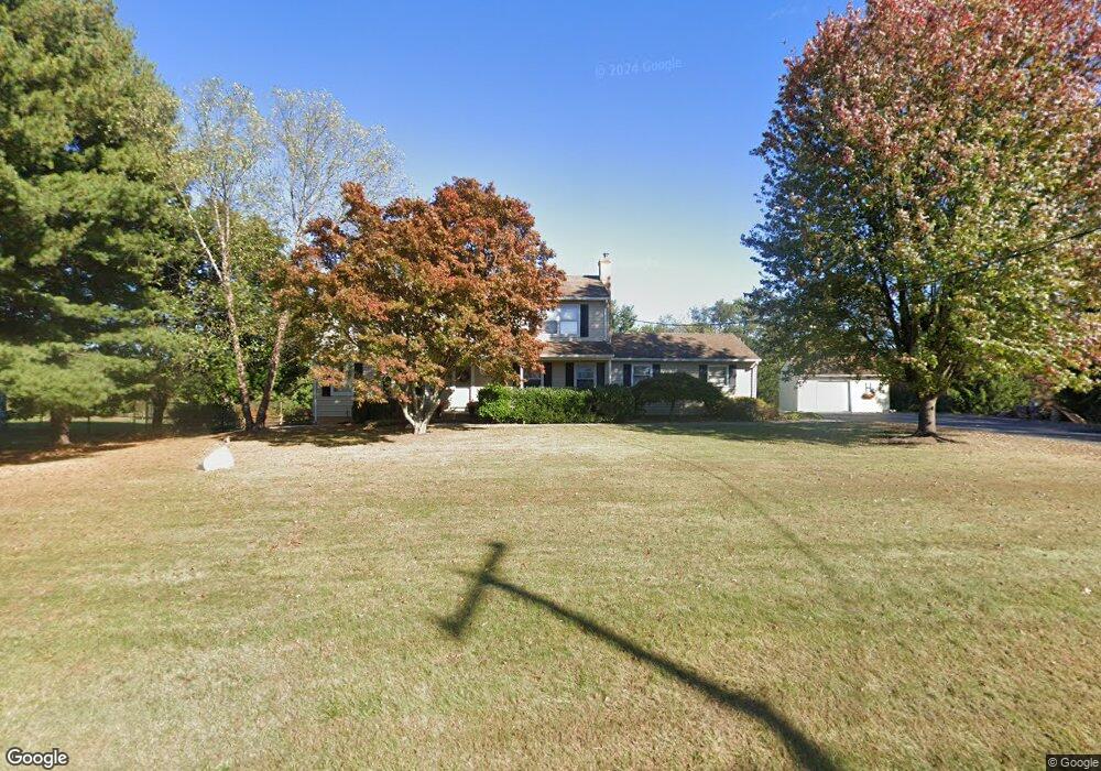
127 Barley Sheaf Rd Flemington, NJ 08822
Estimated Value: $606,387 - $722,000
--
Bed
--
Bath
2,312
Sq Ft
$287/Sq Ft
Est. Value
About This Home
This home is located at 127 Barley Sheaf Rd, Flemington, NJ 08822 and is currently estimated at $664,597, approximately $287 per square foot. 127 Barley Sheaf Rd is a home located in Hunterdon County with nearby schools including Barley Sheaf Elementary School, J.P. Case Middle School, and Reading Fleming Intermediate School.
Ownership History
Date
Name
Owned For
Owner Type
Purchase Details
Closed on
Apr 28, 1997
Sold by
Myles Donald J
Bought by
Hurban Mark T and Hurban Amy
Current Estimated Value
Home Financials for this Owner
Home Financials are based on the most recent Mortgage that was taken out on this home.
Original Mortgage
$155,000
Outstanding Balance
$20,808
Interest Rate
7.77%
Estimated Equity
$643,789
Purchase Details
Closed on
Jul 2, 1994
Sold by
Myles Donald J and Myles Lois C
Bought by
Myles Donald J and Myles Lois C
Create a Home Valuation Report for This Property
The Home Valuation Report is an in-depth analysis detailing your home's value as well as a comparison with similar homes in the area
Home Values in the Area
Average Home Value in this Area
Purchase History
| Date | Buyer | Sale Price | Title Company |
|---|---|---|---|
| Hurban Mark T | $213,000 | -- | |
| Myles Donald J | -- | -- |
Source: Public Records
Mortgage History
| Date | Status | Borrower | Loan Amount |
|---|---|---|---|
| Open | Hurban Mark T | $155,000 |
Source: Public Records
Tax History Compared to Growth
Tax History
| Year | Tax Paid | Tax Assessment Tax Assessment Total Assessment is a certain percentage of the fair market value that is determined by local assessors to be the total taxable value of land and additions on the property. | Land | Improvement |
|---|---|---|---|---|
| 2025 | $11,093 | $382,900 | $173,100 | $209,800 |
| 2024 | $10,280 | $382,900 | $173,100 | $209,800 |
| 2023 | $10,280 | $377,400 | $173,100 | $204,300 |
| 2022 | $10,020 | $377,400 | $173,100 | $204,300 |
| 2021 | $9,507 | $377,400 | $173,100 | $204,300 |
| 2020 | $9,703 | $377,400 | $173,100 | $204,300 |
| 2019 | $9,507 | $377,400 | $173,100 | $204,300 |
| 2018 | $9,390 | $377,400 | $173,100 | $204,300 |
| 2017 | $9,246 | $377,400 | $173,100 | $204,300 |
| 2016 | $9,080 | $377,400 | $173,100 | $204,300 |
| 2015 | $8,850 | $377,400 | $173,100 | $204,300 |
| 2014 | $8,733 | $377,400 | $173,100 | $204,300 |
Source: Public Records
Map
Nearby Homes
- 18 Burnett Ct
- 1 Shady Ln
- 6 Elm Terrace
- 23 Maple Ct
- 405 Willow Ct
- 404 Willow Ct
- 276 Spruce Ct
- 30 Claridge Ln
- 17 Patrick Henry Place
- 12 Higgins Ct
- 25 Indian Plantation St Unit 25
- 10 Samuel Dr
- 12 Woodside Ln
- 43 Everitts Rd
- 11 Danberry Dr
- 107 Provincetown Ct
- 907 Reed Ct Unit C0907
- 5 Rea Ct
- 106 Franklin Ct Unit 238
- 105 Franklin Ct Unit 237