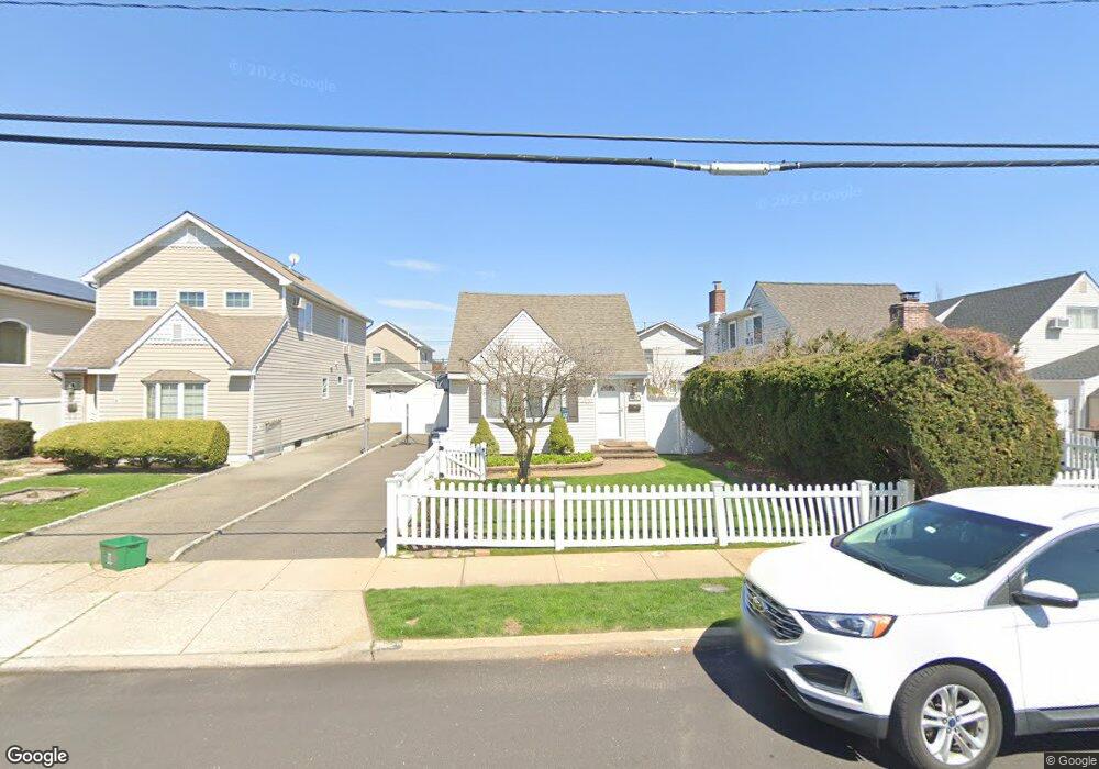
127 Beach Dr Merrick, NY 11566
Estimated Value: $682,866 - $731,000
3
Beds
2
Baths
1,369
Sq Ft
$516/Sq Ft
Est. Value
About This Home
This home is located at 127 Beach Dr, Merrick, NY 11566 and is currently estimated at $706,933, approximately $516 per square foot. 127 Beach Dr is a home located in Nassau County with nearby schools including Merrick Avenue Middle School, John F. Kennedy High School, and Grace Christian Academy.
Ownership History
Date
Name
Owned For
Owner Type
Purchase Details
Closed on
Apr 14, 2011
Sold by
Rosriguez Amelica
Bought by
Herzog Natalie J
Current Estimated Value
Home Financials for this Owner
Home Financials are based on the most recent Mortgage that was taken out on this home.
Original Mortgage
$9,937
Outstanding Balance
$6,818
Interest Rate
4.76%
Mortgage Type
Unknown
Estimated Equity
$700,115
Purchase Details
Closed on
Oct 30, 1997
Create a Home Valuation Report for This Property
The Home Valuation Report is an in-depth analysis detailing your home's value as well as a comparison with similar homes in the area
Home Values in the Area
Average Home Value in this Area
Purchase History
| Date | Buyer | Sale Price | Title Company |
|---|---|---|---|
| Herzog Natalie J | $341,500 | -- | |
| -- | -- | -- |
Source: Public Records
Mortgage History
| Date | Status | Borrower | Loan Amount |
|---|---|---|---|
| Open | Herzog Natalie J | $9,937 | |
| Open | Herzog Natalie J | $331,255 |
Source: Public Records
Tax History
| Year | Tax Paid | Tax Assessment Tax Assessment Total Assessment is a certain percentage of the fair market value that is determined by local assessors to be the total taxable value of land and additions on the property. | Land | Improvement |
|---|---|---|---|---|
| 2025 | $11,443 | $413 | $200 | $213 |
| 2024 | $2,877 | $415 | $201 | $214 |
Source: Public Records
Map
Nearby Homes
- 2688 Rosebud Ave
- 48 Rosebud Ave
- 60 Montauk Ave
- 1903 George Ct
- 2729 Shore Dr
- 2848 Clubhouse Rd
- 212 Babylon Turnpike
- 1945 Byron Rd
- 1864 Cynthia Ln
- 1993 Lowell Ln
- 174 Babylon Turnpike
- 2819 Harbor Rd
- 2970 Bond Dr
- 1841 Stanley Dr
- 2863 Harbor Rd
- 2988 Bond Dr
- 2884 Bay Dr
- 2994 Lonni Ln
- 1763 E Berkshire Rd
- 2415 Babylon Turnpike
- 123 Beach Dr
- 131 Beach Dr
- 119 Beach Dr
- 1783 Florence St
- 2506 Rosebud Ave
- 2702 Rosebud Ave
- 2702 Rosebud Ave
- 2698 Rosebud Ave
- 115 Beach Dr
- 2694 Rosebud Ave
- 1803 Florence St
- 2704 Beach Dr
- 2690 Rosebud Ave
- 1784 Florence St
- 111 Beach Dr
- 124 Beach Dr
- 128 Beach Dr
- 90 Rosebud Ave
- 1804 Florence St
- 6 Florence St
Your Personal Tour Guide
Ask me questions while you tour the home.