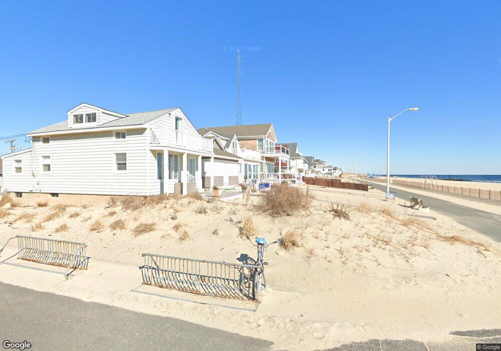
127 Beach Front Manasquan, NJ 08736
Estimated Value: $2,289,000 - $3,956,000
3
Beds
3
Baths
2,232
Sq Ft
$1,329/Sq Ft
Est. Value
About This Home
This home is located at 127 Beach Front, Manasquan, NJ 08736 and is currently estimated at $2,965,614, approximately $1,328 per square foot. 127 Beach Front is a home located in Monmouth County with nearby schools including Manasquan Elementary School, Manasquan High School, and St. Catharine School.
Ownership History
Date
Name
Owned For
Owner Type
Purchase Details
Closed on
Nov 30, 2012
Sold by
Kalasin Leon J and Kalasin Dianne
Bought by
Manasquan Property Holdings Llc
Current Estimated Value
Purchase Details
Closed on
Mar 18, 1999
Sold by
American Timber Co
Bought by
Kalasin Leon and Kalasin Diane
Home Financials for this Owner
Home Financials are based on the most recent Mortgage that was taken out on this home.
Original Mortgage
$280,000
Interest Rate
6.95%
Create a Home Valuation Report for This Property
The Home Valuation Report is an in-depth analysis detailing your home's value as well as a comparison with similar homes in the area
Home Values in the Area
Average Home Value in this Area
Purchase History
| Date | Buyer | Sale Price | Title Company |
|---|---|---|---|
| Manasquan Property Holdings Llc | $15,500,000 | None Available | |
| Kalasin Leon | $233,325 | -- |
Source: Public Records
Mortgage History
| Date | Status | Borrower | Loan Amount |
|---|---|---|---|
| Previous Owner | Kalasin Leon | $280,000 |
Source: Public Records
Tax History Compared to Growth
Tax History
| Year | Tax Paid | Tax Assessment Tax Assessment Total Assessment is a certain percentage of the fair market value that is determined by local assessors to be the total taxable value of land and additions on the property. | Land | Improvement |
|---|---|---|---|---|
| 2025 | $27,266 | $1,533,500 | $1,122,300 | $411,200 |
| 2024 | $26,238 | $1,533,500 | $1,122,300 | $411,200 |
| 2023 | $26,238 | $1,533,500 | $1,122,300 | $411,200 |
| 2022 | $25,257 | $1,533,500 | $1,122,300 | $411,200 |
| 2021 | $25,257 | $1,533,500 | $1,122,300 | $411,200 |
| 2020 | $24,904 | $1,533,500 | $1,122,300 | $411,200 |
| 2019 | $23,969 | $1,533,500 | $1,122,300 | $411,200 |
| 2018 | $23,432 | $1,533,500 | $1,122,300 | $411,200 |
| 2017 | $22,542 | $1,533,500 | $1,122,300 | $411,200 |
| 2016 | $21,944 | $1,533,500 | $1,122,300 | $411,200 |
| 2015 | $19,869 | $1,162,600 | $687,000 | $475,600 |
| 2014 | $19,846 | $1,162,600 | $687,000 | $475,600 |
Source: Public Records
Map
Nearby Homes
- 75 2nd Ave
- 22 2nd Ave
- 207 4th Ave
- 394 E Virginia Ave
- 355 Cedar Ave
- 573 Perch Ave
- 217 Neptune Place
- 45 Inlet Dr
- 219 Neptune Place
- 80 Stockton Lake Blvd
- 205 Stockton Blvd
- 329 Fisk Ave
- 116 Curtis Ave
- 23 Ocean Ave N
- 323-325 Fisk Ave
- 507 Magnolia Ave
- 409 Sea Girt Ave
- 300 Washington Blvd
- 109 Boardwalk
- 130 Union Ave