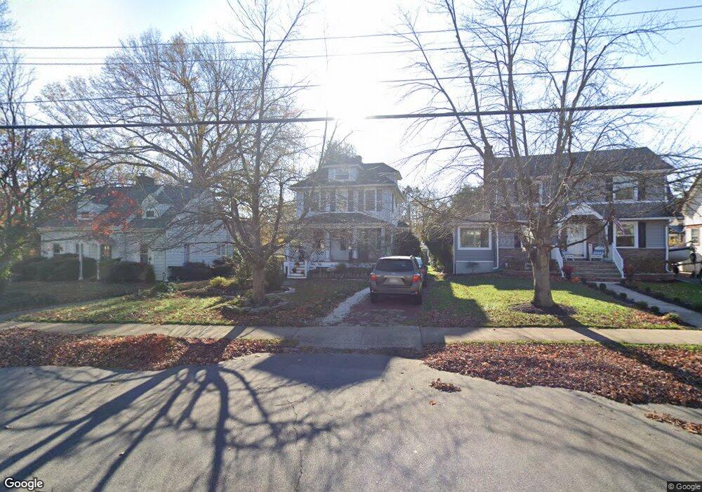
127 Branch Ave Red Bank, NJ 07701
Estimated Value: $743,067 - $815,000
3
Beds
2
Baths
1,662
Sq Ft
$475/Sq Ft
Est. Value
About This Home
This home is located at 127 Branch Ave, Red Bank, NJ 07701 and is currently estimated at $789,267, approximately $474 per square foot. 127 Branch Ave is a home located in Monmouth County with nearby schools including Red Bank Primary School, Red Bank Middle School, and Red Bank Regional High School.
Ownership History
Date
Name
Owned For
Owner Type
Purchase Details
Closed on
Jan 27, 2022
Sold by
Berkowitz Judi S and Berkowitz David W
Bought by
Berkowitz Judi S and Conover David W
Current Estimated Value
Purchase Details
Closed on
Dec 12, 2005
Sold by
Berkowitz Judi S
Bought by
Judith S Berkowitz Revocable T
Create a Home Valuation Report for This Property
The Home Valuation Report is an in-depth analysis detailing your home's value as well as a comparison with similar homes in the area
Home Values in the Area
Average Home Value in this Area
Purchase History
| Date | Buyer | Sale Price | Title Company |
|---|---|---|---|
| Berkowitz Judi S | -- | Deisinger William R | |
| Judith S Berkowitz Revocable T | -- | -- |
Source: Public Records
Tax History Compared to Growth
Tax History
| Year | Tax Paid | Tax Assessment Tax Assessment Total Assessment is a certain percentage of the fair market value that is determined by local assessors to be the total taxable value of land and additions on the property. | Land | Improvement |
|---|---|---|---|---|
| 2025 | $11,185 | $685,000 | $386,100 | $298,900 |
| 2024 | $11,047 | $592,100 | $305,100 | $287,000 |
| 2023 | $11,047 | $578,100 | $305,100 | $273,000 |
| 2022 | $10,342 | $519,400 | $258,100 | $261,300 |
| 2021 | $10,342 | $462,300 | $224,400 | $237,900 |
| 2020 | $10,031 | $441,500 | $224,400 | $217,100 |
| 2019 | $9,618 | $435,000 | $224,400 | $210,600 |
| 2018 | $9,343 | $427,200 | $224,400 | $202,800 |
| 2017 | $8,944 | $423,900 | $224,400 | $199,500 |
| 2016 | $8,240 | $391,100 | $196,700 | $194,400 |
| 2015 | $8,675 | $426,700 | $265,100 | $161,600 |
| 2014 | $9,161 | $478,900 | $298,500 | $180,400 |
Source: Public Records
Map
Nearby Homes
- 283 Spring St Unit 1C
- 70 Hudson Ave
- 58 Hudson Ave
- 81 Pinckney Rd
- 4 Manor Dr
- 44 Hudson Ave
- 48 Hudson Ave
- 61 Tower Hill Dr Unit 708
- 82 Linden Place
- 17 Leroy Place Unit 1A
- 17 Leroy Place Unit 2B
- 83 Tower Hill Dr
- 69 Washington St
- 65 Washington St
- 59 Leroy Place
- 30 Crest Dr
- 23 Wallace St Unit 306
- 59 Peters Place
- 32 Woodbine Ave
- 21 Washington St
- 125 Branch Ave
- 131 Branch Ave
- 119 Branch Ave
- 16 E Bergen Place
- 115 Branch Ave
- 11 Brown Place
- 20 E Bergen Place
- 135 Branch Ave
- 7 Brown Place
- 15 Brown Place
- 3 Brown Place
- 22 E Bergen Place
- 17 Brown Place
- 130 Branch Ave
- 26 E Bergen Place
- 19 Brown Place
- 126 Branch Ave
- 128 Branch Ave Unit 130
- 128 Branch Ave Unit 128a
- 120 Branch Ave