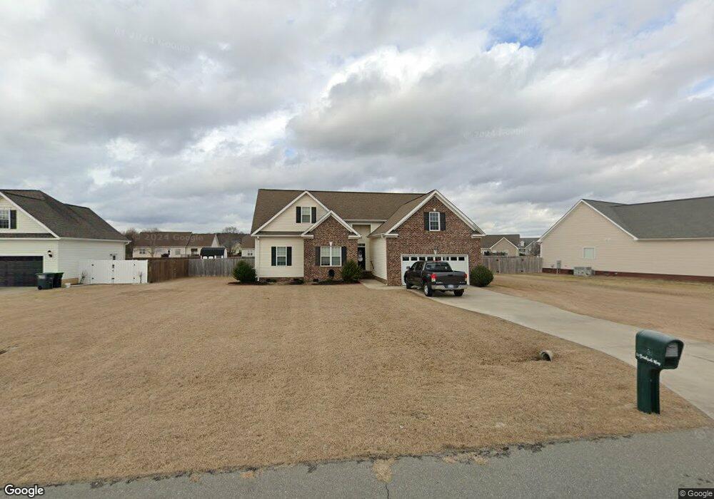
127 Brookside Way Pikeville, NC 27863
Estimated Value: $296,397 - $320,000
3
Beds
2
Baths
1,899
Sq Ft
$163/Sq Ft
Est. Value
About This Home
This home is located at 127 Brookside Way, Pikeville, NC 27863 and is currently estimated at $310,349, approximately $163 per square foot. 127 Brookside Way is a home located in Wayne County with nearby schools including Northwest Elementary School, Norwayne Middle School, and Charles B. Aycock High School.
Ownership History
Date
Name
Owned For
Owner Type
Purchase Details
Closed on
Apr 30, 2013
Sold by
Hariston Damon D and Hariston Rakeshia T
Bought by
Herard Andrew S and Herard Melonie M
Current Estimated Value
Home Financials for this Owner
Home Financials are based on the most recent Mortgage that was taken out on this home.
Original Mortgage
$204,810
Outstanding Balance
$144,738
Interest Rate
3.42%
Mortgage Type
VA
Estimated Equity
$165,611
Purchase Details
Closed on
Feb 26, 2009
Sold by
General Structures Inc
Bought by
Hairston Damon D and Hairston Rakeshia T
Home Financials for this Owner
Home Financials are based on the most recent Mortgage that was taken out on this home.
Original Mortgage
$201,700
Interest Rate
5.15%
Mortgage Type
VA
Create a Home Valuation Report for This Property
The Home Valuation Report is an in-depth analysis detailing your home's value as well as a comparison with similar homes in the area
Home Values in the Area
Average Home Value in this Area
Purchase History
| Date | Buyer | Sale Price | Title Company |
|---|---|---|---|
| Herard Andrew S | $200,500 | None Available | |
| Hairston Damon D | $197,500 | None Available |
Source: Public Records
Mortgage History
| Date | Status | Borrower | Loan Amount |
|---|---|---|---|
| Open | Herard Andrew S | $204,810 | |
| Previous Owner | Hairston Damon D | $201,700 |
Source: Public Records
Tax History Compared to Growth
Tax History
| Year | Tax Paid | Tax Assessment Tax Assessment Total Assessment is a certain percentage of the fair market value that is determined by local assessors to be the total taxable value of land and additions on the property. | Land | Improvement |
|---|---|---|---|---|
| 2025 | $2,067 | $285,680 | $35,000 | $250,680 |
| 2024 | $1,742 | $200,210 | $25,000 | $175,210 |
| 2023 | $1,672 | $200,210 | $25,000 | $175,210 |
| 2022 | $1,672 | $200,210 | $25,000 | $175,210 |
| 2021 | $1,602 | $200,210 | $25,000 | $175,210 |
| 2020 | $1,514 | $200,210 | $25,000 | $175,210 |
| 2018 | $1,481 | $195,800 | $25,000 | $170,800 |
| 2017 | $1,481 | $195,800 | $25,000 | $170,800 |
| 2016 | $1,481 | $195,800 | $25,000 | $170,800 |
| 2015 | $1,484 | $195,800 | $25,000 | $170,800 |
| 2014 | $1,487 | $195,800 | $25,000 | $170,800 |
Source: Public Records
Map
Nearby Homes
- 215 Willowbrook Dr
- 219 Willowbrook Dr
- 204 Country Pointe Rd
- 205 Sweeten Branch Dr
- 209 King James Way
- 207 King James Way
- 368 Hooks Rd
- 201 Talton Farm Dr
- 268 Fields Rd Unit Lot 02
- 262 Fields Rd Unit Lot 01
- 101 Talton Estates Dr
- 100 Nova Place
- 200 Talton Estates Dr
- 207 Talton Estates Dr
- 108 Nova Place
- 105 Nova Place
- 133 Ralph Dr
- 129 Ralph Dr
- 213 Talton Estates Dr
- 125 Brookside Way
- 129 Brookside Way
- 123 Brookside Way
- 131 Brookside Way
- 126 Willowbrook Dr
- 128 Willowbrook Dr
- 130 Willowbrook Dr
- 124 Brookside Way
- 124 Willowbrook Dr
- 132 Willowbrook Dr
- 122 Brookside Way
- 122 Willowbrook Dr
- 119 Brookside Way
- 130 Brookside Way
- 118 Brookside Way
- 129 Willowbrook Dr
- 131 Willowbrook Dr
- 127 Willowbrook Dr
- 135 Willowbrook Dr
- 125 Willowbrook Dr