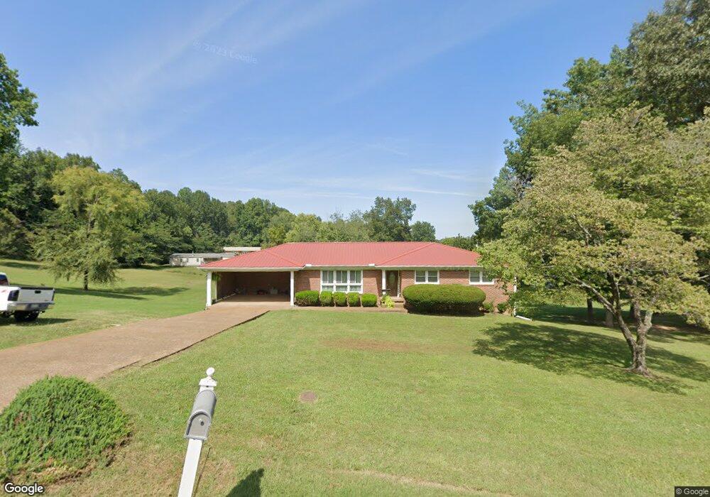
127 Cabin Dr Linden, TN 37096
Estimated Value: $239,758 - $369,000
Studio
3
Baths
2,024
Sq Ft
$147/Sq Ft
Est. Value
About This Home
This home is located at 127 Cabin Dr, Linden, TN 37096 and is currently estimated at $298,440, approximately $147 per square foot. 127 Cabin Dr is a home located in Perry County.
Ownership History
Date
Name
Owned For
Owner Type
Purchase Details
Closed on
Mar 14, 2006
Sold by
Turnbo Betty Ann
Bought by
Counterman Christopher
Current Estimated Value
Home Financials for this Owner
Home Financials are based on the most recent Mortgage that was taken out on this home.
Original Mortgage
$83,000
Outstanding Balance
$46,698
Interest Rate
6.19%
Mortgage Type
Commercial
Estimated Equity
$251,742
Purchase Details
Closed on
Oct 11, 1976
Purchase Details
Closed on
Jan 18, 1957
Bought by
Turnbo Betty
Create a Home Valuation Report for This Property
The Home Valuation Report is an in-depth analysis detailing your home's value as well as a comparison with similar homes in the area
Purchase History
| Date | Buyer | Sale Price | Title Company |
|---|---|---|---|
| Counterman Christopher | $110,000 | -- | |
| -- | -- | -- | |
| Turnbo Betty | -- | -- |
Source: Public Records
Mortgage History
| Date | Status | Borrower | Loan Amount |
|---|---|---|---|
| Open | Turnbo Betty | $83,000 |
Source: Public Records
Tax History
| Year | Tax Paid | Tax Assessment Tax Assessment Total Assessment is a certain percentage of the fair market value that is determined by local assessors to be the total taxable value of land and additions on the property. | Land | Improvement |
|---|---|---|---|---|
| 2025 | -- | $40,825 | $5,575 | $35,250 |
| 2024 | $1,143 | $40,825 | $5,575 | $35,250 |
| 2023 | $1,143 | $40,825 | $5,575 | $35,250 |
| 2022 | $1,143 | $40,825 | $5,575 | $35,250 |
| 2021 | $1,143 | $40,825 | $5,575 | $35,250 |
| 2019 | $1,101 | $36,875 | $6,500 | $30,375 |
| 2018 | $1,101 | $36,875 | $6,500 | $30,375 |
| 2017 | $1,089 | $36,875 | $6,500 | $30,375 |
| 2016 | $1,089 | $36,875 | $6,500 | $30,375 |
| 2015 | $1,071 | $36,875 | $6,500 | $30,375 |
| 2014 | $1,071 | $36,875 | $6,500 | $30,375 |
| 2013 | $1,058 | $36,459 | $0 | $0 |
Source: Public Records
Map
Nearby Homes
- 122 Shelton St
- 239 Brooklyn Ave
- 141 Maple St
- 245 S Mill St
- 2082 Airport Ridge Rd
- 0 Church St
- 628 Starlight Dr Unit 176
- 8072 Old Hohenwald Rd
- 4439 Old Hohenwald Rd Unit 60
- 5608 Old Hohenwald Rd
- 107 Possum Trot Ln
- 117 Wyatt Ln Unit 8
- 8884 U S Highway 412
- 2172 Airport Ridge Rd Unit 1
- 309 River Bluff Rd
- 146 Wyatt Ln Unit 10
- 0 Airport Ridge Rd
- 2383 Airport Ridge Rd
- Lot 5 Campers Ln
- Lot 4 Campers Ln
- 121 Cabin Dr
- 129 Cabin Dr
- 124 Cabin Dr
- 119 Cabin Dr
- 230 Southwood Dr
- 236 Southwood Dr
- 226 Southwood Dr
- 222 Southwood Dr
- 52 Tennessee 13
- 214 Southwood Dr
- 233 Southwood Dr
- 237 Southwood Dr
- 229 Southwood Dr
- 223 Southwood Dr
- 4850 Cedar Ave
- 230 Cedar Ave
- 228 Cedar Ave
- 231 Cedar Ave
- 208 Southwood Dr
- 1088 Big Opossum Rd
Your Personal Tour Guide
Ask me questions while you tour the home.