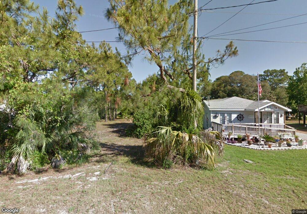
127 Canal St Port St. Joe, FL 32456
Saint Joe Beach NeighborhoodEstimated Value: $234,049 - $336,000
--
Bed
--
Bath
--
Sq Ft
0.25
Acres
About This Home
This home is located at 127 Canal St, Port St. Joe, FL 32456 and is currently estimated at $285,025. 127 Canal St is a home located in Gulf County.
Ownership History
Date
Name
Owned For
Owner Type
Purchase Details
Closed on
Apr 3, 2015
Sold by
Baker Cynthia C
Bought by
Smith Kimberly M
Current Estimated Value
Home Financials for this Owner
Home Financials are based on the most recent Mortgage that was taken out on this home.
Original Mortgage
$85,000
Interest Rate
6%
Mortgage Type
Seller Take Back
Purchase Details
Closed on
Jul 10, 2009
Sold by
Trinity Independent Fundamental Baptist
Bought by
Baker Cynthia C
Purchase Details
Closed on
Dec 19, 2005
Sold by
May Wyman E
Bought by
Trinity Independent Fundamental Baptist
Create a Home Valuation Report for This Property
The Home Valuation Report is an in-depth analysis detailing your home's value as well as a comparison with similar homes in the area
Home Values in the Area
Average Home Value in this Area
Purchase History
| Date | Buyer | Sale Price | Title Company |
|---|---|---|---|
| Smith Kimberly M | $105,000 | Attorney | |
| Baker Cynthia C | $100,000 | Attorney | |
| Trinity Independent Fundamental Baptist | -- | Attorney |
Source: Public Records
Mortgage History
| Date | Status | Borrower | Loan Amount |
|---|---|---|---|
| Closed | Smith Kimberly M | $85,000 |
Source: Public Records
Tax History Compared to Growth
Tax History
| Year | Tax Paid | Tax Assessment Tax Assessment Total Assessment is a certain percentage of the fair market value that is determined by local assessors to be the total taxable value of land and additions on the property. | Land | Improvement |
|---|---|---|---|---|
| 2024 | $2,283 | $213,181 | $210,000 | $3,181 |
| 2023 | $2,560 | $160,542 | $0 | $0 |
| 2022 | $2,371 | $228,706 | $225,000 | $3,706 |
| 2021 | $1,928 | $153,969 | $150,000 | $3,969 |
| 2020 | $1,792 | $139,232 | $135,000 | $4,232 |
| 2019 | $1,543 | $109,652 | $104,125 | $5,527 |
| 2018 | $1,567 | $110,351 | $0 | $0 |
| 2017 | $1,457 | $104,803 | $0 | $0 |
| 2016 | $1,341 | $90,195 | $0 | $0 |
| 2015 | $1,257 | $82,500 | $0 | $0 |
| 2014 | -- | $82,500 | $0 | $0 |
Source: Public Records
Map
Nearby Homes
- Lot 16 Bay St
- 253 Canal St
- 227 Bay St
- 132 Pine St
- 6535 Alabama Ave
- 130 Pine St
- 14/15 Atlantic St
- 138 Atlantic St
- 130 Atlantic St
- 8135 Americus Ave
- 348 Atlantic St
- 119 White Blossom Trail
- 109 Hidden Ridge Rd
- 6626 W Highway 98
- TBD Selma St
- 132 White Blossom Trail
- 121 Gulf Terrace Ln
- Lot 12 Gulf Terrace Ln
- Lot 3 Sea Haven Dr
- LOT 9 Sea Haven Dr
- 319 Canal St
- 17 Canal St Unit 17 And 18
- 17 Canal St Unit 17 & Half
- 0 Canal St
- 127 Canal St Unit Seeadd
- Lot 11 Canal St
- 229 Canal St
- 235 Canal St
- 229 Canal St
- 230 Canal St
- 217 Canal St
- 6378 Americus Ave
- 216 Canal St
- 241 Canal St
- 6440 Americus Ave Unit Adden
- TBD Canal St Unit 1-br
- 6330 Americus Ave
- 6448 Americus Ave
- 229 Pine St
- 224 Bay St Unit 11