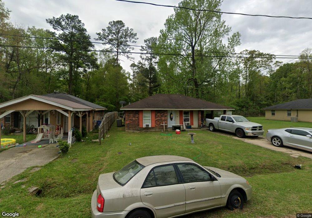
127 Caroline Dr Hammond, LA 70401
Estimated Value: $98,000 - $131,559
--
Bed
--
Bath
1,280
Sq Ft
$92/Sq Ft
Est. Value
About This Home
This home is located at 127 Caroline Dr, Hammond, LA 70401 and is currently estimated at $117,390, approximately $91 per square foot. 127 Caroline Dr is a home located in Tangipahoa Parish with nearby schools including Woodland Park Magnet, Hammond High Magnet School, and Emmanuel Seventh-day Adventist School & Daycare.
Ownership History
Date
Name
Owned For
Owner Type
Purchase Details
Closed on
May 18, 2011
Sold by
Beneficial Louisiana Inc
Bought by
Land Trust Inc Llc
Current Estimated Value
Purchase Details
Closed on
Mar 18, 2005
Sold by
Lots 5 Llc
Bought by
Johnson Jessica R and Bell Robert E
Home Financials for this Owner
Home Financials are based on the most recent Mortgage that was taken out on this home.
Original Mortgage
$12,500
Interest Rate
5.67%
Mortgage Type
Stand Alone Second
Create a Home Valuation Report for This Property
The Home Valuation Report is an in-depth analysis detailing your home's value as well as a comparison with similar homes in the area
Home Values in the Area
Average Home Value in this Area
Purchase History
| Date | Buyer | Sale Price | Title Company |
|---|---|---|---|
| Land Trust Inc Llc | $25,000 | None Available | |
| Johnson Jessica R | $62,500 | None Available |
Source: Public Records
Mortgage History
| Date | Status | Borrower | Loan Amount |
|---|---|---|---|
| Previous Owner | Johnson Jessica R | $12,500 |
Source: Public Records
Tax History Compared to Growth
Tax History
| Year | Tax Paid | Tax Assessment Tax Assessment Total Assessment is a certain percentage of the fair market value that is determined by local assessors to be the total taxable value of land and additions on the property. | Land | Improvement |
|---|---|---|---|---|
| 2024 | $452 | $5,459 | $702 | $4,757 |
| 2023 | $452 | $5,406 | $650 | $4,756 |
| 2022 | $452 | $5,406 | $650 | $4,756 |
| 2021 | $120 | $5,406 | $650 | $4,756 |
| 2020 | $565 | $5,406 | $650 | $4,756 |
| 2019 | $564 | $5,406 | $650 | $4,756 |
| 2018 | $566 | $5,406 | $650 | $4,756 |
| 2017 | $566 | $5,406 | $650 | $4,756 |
| 2016 | $566 | $5,406 | $650 | $4,756 |
| 2015 | -- | $5,719 | $650 | $5,069 |
| 2014 | $456 | $5,719 | $650 | $5,069 |
Source: Public Records
Map
Nearby Homes
- 1210 N Holly St
- 118 Ruth Dr
- 101 E David Dr
- 900 N Cherry St
- 808 Martin Luther King Ave
- 1010-12 Martin Luther King Ave
- 301 E University Ave
- 801 Magazine St
- 100, 101, 128 Clinton Ct
- 1102 N Cherry St
- 1000 M C Moore Rd
- 800 Campo St
- 1301 N Holly St
- 404 E Colorado St
- 407 E Michigan St
- 412 E Michigan St
- 1100 N Oak St
- 127 Caroline Dr
- 125 Caroline Dr
- 125 Caroline Dr
- 225 Caroline Dr
- 131 Caroline Dr
- 126 Caroline Dr
- 130 Caroline Dr
- 122 Caroline Dr
- 1215 N Harvey St
- 120 Caroline Dr
- 1217 N Harvey St
- 118 Caroline Dr
- 160 Caroline Dr
- 116 Caroline Dr
- 114 Caroline Dr
- 1219 N Harvey St
- 1213 N Harvey St
- 109 Caroline Dr
- 110 Caroline Dr
- 110 Caroline Dr