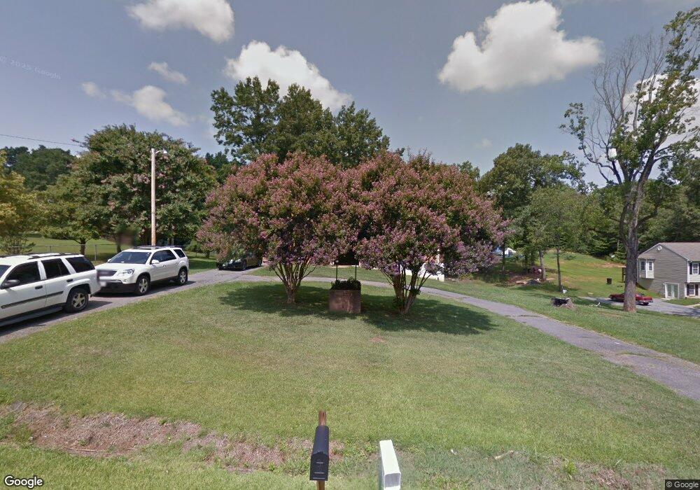
127 Cedar Ridge Dr Madison Heights, VA 24572
Estimated Value: $276,169 - $303,000
3
Beds
2
Baths
2,250
Sq Ft
$127/Sq Ft
Est. Value
About This Home
This home is located at 127 Cedar Ridge Dr, Madison Heights, VA 24572 and is currently estimated at $285,042, approximately $126 per square foot. 127 Cedar Ridge Dr is a home located in Amherst County with nearby schools including Amelon Elementary School, Monelison Middle School, and Amherst County High School.
Ownership History
Date
Name
Owned For
Owner Type
Purchase Details
Closed on
Sep 25, 2006
Sold by
Lombre Tracey G and Lombre Calao A
Bought by
Lombre Tracey G and Lombre Calao A
Current Estimated Value
Home Financials for this Owner
Home Financials are based on the most recent Mortgage that was taken out on this home.
Original Mortgage
$142,470
Interest Rate
8.85%
Mortgage Type
Adjustable Rate Mortgage/ARM
Create a Home Valuation Report for This Property
The Home Valuation Report is an in-depth analysis detailing your home's value as well as a comparison with similar homes in the area
Home Values in the Area
Average Home Value in this Area
Purchase History
| Date | Buyer | Sale Price | Title Company |
|---|---|---|---|
| Lombre Tracey G | -- | None Available |
Source: Public Records
Mortgage History
| Date | Status | Borrower | Loan Amount |
|---|---|---|---|
| Previous Owner | Lombre Tracey G | $142,470 |
Source: Public Records
Tax History Compared to Growth
Tax History
| Year | Tax Paid | Tax Assessment Tax Assessment Total Assessment is a certain percentage of the fair market value that is determined by local assessors to be the total taxable value of land and additions on the property. | Land | Improvement |
|---|---|---|---|---|
| 2025 | $950 | $155,800 | $25,000 | $130,800 |
| 2024 | $950 | $155,800 | $25,000 | $130,800 |
| 2023 | $950 | $155,800 | $25,000 | $130,800 |
| 2022 | $950 | $155,800 | $25,000 | $130,800 |
| 2021 | $950 | $155,800 | $25,000 | $130,800 |
| 2020 | $950 | $155,800 | $25,000 | $130,800 |
| 2019 | $943 | $154,600 | $31,000 | $123,600 |
| 2018 | $943 | $154,600 | $31,000 | $123,600 |
| 2017 | $943 | $154,600 | $31,000 | $123,600 |
| 2016 | $943 | $154,600 | $31,000 | $123,600 |
| 2015 | $866 | $154,600 | $31,000 | $123,600 |
| 2014 | $866 | $154,600 | $31,000 | $123,600 |
Source: Public Records
Map
Nearby Homes
- 0 Commonwealth Dr Unit 361760
- 1769 Izaak Walton Rd
- 250 S Wood Duck Dr
- 172 Stoney Creek Dr
- 164 Glade Rd
- 255 Glade Rd
- 0 Izaak Walton Rd
- 11 Stoney Creek Dr
- 10 Stoney Creek Dr
- 0 Lot 10 & 11 Stoney Creek Dr Unit 345183
- 121 Crestwood Dr
- 0 Monticello Ln
- 571 Dixie Airport Rd
- 149 Peaceful Ln
- 180-Lot 2 Kentmoor Farm Rd
- Lot 1 Kentmoor Farm Rd
- 366 Kentmoor Farm Rd
- 1170 Izaak Walton Rd
- 15 Cambridge Ct
- 17 Cambridge Ct
- 133 Cedar Ridge Dr
- 115 Cedar Ridge Dr
- 134 Cedar Ridge Dr
- 135 Cedar Ridge Dr
- 105 Cedar Ridge Dr
- 126 Sherwood Ln
- 132 Sherwood Ln
- 156 Cedar Ridge Dr
- 208 Cedar Crest
- 274 Dogwood Dr
- 8 Cedar Gate Rd
- 307 Dogwood Dr
- 287 Dogwood Dr
- 270 Dogwood Dr
- 166 Cedar Ridge Dr
- 335 Dogwood Dr
- 275 Dogwood Dr
- 354 Dogwood Dr
- 171 Cedar Ridge Dr
- 172 Cedar Ridge Dr
