127 Coleman Dr Jasper, GA 30143
Estimated Value: $187,000 - $276,000
Studio
1
Bath
956
Sq Ft
$247/Sq Ft
Est. Value
About This Home
This home is located at 127 Coleman Dr, Jasper, GA 30143 and is currently estimated at $236,333, approximately $247 per square foot. 127 Coleman Dr is a home located in Pickens County with nearby schools including Harmony Elementary School, Pickens County Middle School, and Pickens County High School.
Ownership History
Date
Name
Owned For
Owner Type
Purchase Details
Closed on
May 18, 1998
Sold by
Poole Ronnie J and Poole Fairy L
Bought by
Poole Fairy L
Current Estimated Value
Purchase Details
Closed on
Jan 9, 1986
Sold by
Coleman Ralph C and Coleman Helen S
Bought by
Poole Ronnie J and Poole Fairy L
Purchase Details
Closed on
Sep 21, 1984
Sold by
Maloney Ola B
Bought by
Coleman Ralph C and Coleman Helen S
Purchase Details
Closed on
Dec 22, 1982
Bought by
Maloney Ola B
Create a Home Valuation Report for This Property
The Home Valuation Report is an in-depth analysis detailing your home's value as well as a comparison with similar homes in the area
Home Values in the Area
Average Home Value in this Area
Purchase History
| Date | Buyer | Sale Price | Title Company |
|---|---|---|---|
| Poole Fairy L | -- | -- | |
| Poole Ronnie J | $45,500 | -- | |
| Coleman Ralph C | $35,000 | -- | |
| Maloney Ola B | $26,800 | -- |
Source: Public Records
Tax History
| Year | Tax Paid | Tax Assessment Tax Assessment Total Assessment is a certain percentage of the fair market value that is determined by local assessors to be the total taxable value of land and additions on the property. | Land | Improvement |
|---|---|---|---|---|
| 2025 | $483 | $26,678 | $10,425 | $16,253 |
| 2024 | $267 | $18,514 | $5,828 | $12,686 |
| 2023 | $260 | $17,794 | $5,828 | $11,966 |
| 2022 | $260 | $17,794 | $5,828 | $11,966 |
| 2021 | $279 | $17,794 | $5,828 | $11,966 |
| 2020 | $287 | $17,794 | $5,828 | $11,966 |
| 2019 | $294 | $17,794 | $5,828 | $11,966 |
| 2018 | $297 | $17,794 | $5,828 | $11,966 |
| 2017 | $301 | $17,794 | $5,828 | $11,966 |
| 2016 | $301 | $17,570 | $5,604 | $11,966 |
| 2015 | $293 | $17,570 | $5,604 | $11,966 |
| 2014 | $293 | $17,570 | $5,604 | $11,966 |
| 2013 | -- | $17,570 | $5,604 | $11,966 |
Source: Public Records
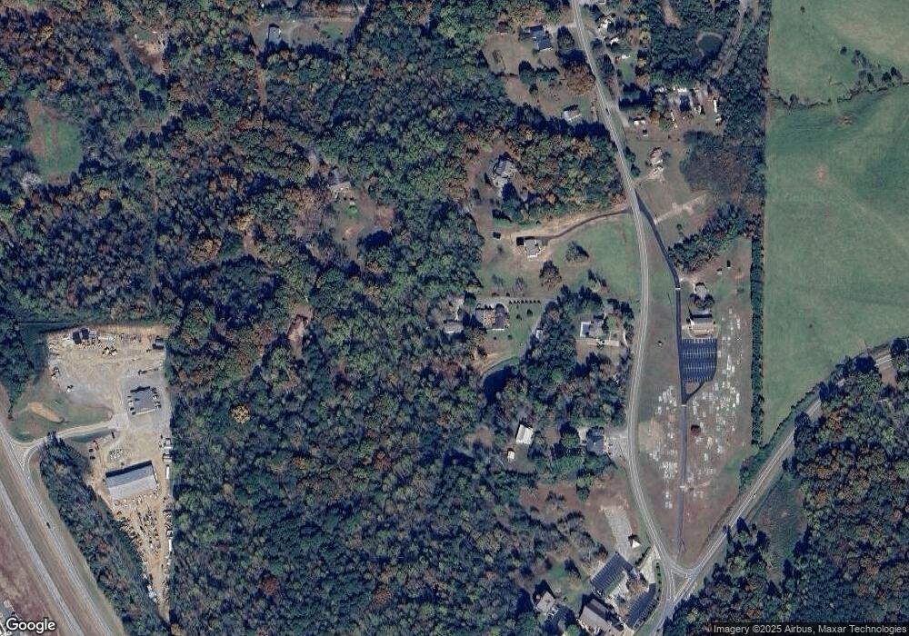
Map
Nearby Homes
- 374 Mountain Blvd S Unit 23
- 3691 Hwy 515
- 65 Grand Cir
- 3418 Refuge Rd
- 24 Teton Trail
- 405 Thrasher Ln
- 269 Grand Cir
- 304 Cornett Ln S
- 117 Cornett Ln S
- 104 Cornett Ln S
- 3011 Refuge Rd
- 10 Parker Ln
- 348 Danburg Ct
- 262 Danburg Ct
- 161 Ambrose Dr
- 259 Holley Heights
- 789 Allred Mill Rd
- 170 Carver Rd
- 99 Davis Dr
- 206 Worley Dr
- 99 Coleman Dr
- 95 Coleman Dr
- 385 Stephens View Rd
- 3884 Refuge Rd
- 3792 Refuge Rd
- 399 Stephens View Rd
- 3958 Refuge Rd
- 3726 Refuge Rd
- 67 Refuge Church Cir
- 61 Refuge Church Cir
- 3767 Refuge Rd
- 3688 Refuge Rd
- 1908 Waleska Highway 108
- 170 Stephens View Rd
- 1908 Waleska Hwy
- 115 Stephens View Rd
- 3660 Refuge Rd
- 126 Stephens View Rd
- 27 Stephens View Rd
- 3659 Refuge Rd
Your Personal Tour Guide
Ask me questions while you tour the home.