127 College Ave Mc Clellandtown, PA 15458
German Township NeighborhoodEstimated Value: $91,000 - $121,000
2
Beds
1
Bath
1,610
Sq Ft
$65/Sq Ft
Est. Value
About This Home
This home is located at 127 College Ave, Mc Clellandtown, PA 15458 and is currently estimated at $104,569, approximately $64 per square foot. 127 College Ave is a home located in Fayette County with nearby schools including Albert Gallatin Area Senior High School and All Saints Regional School.
Ownership History
Date
Name
Owned For
Owner Type
Purchase Details
Closed on
Aug 27, 2023
Sold by
Burnsworth Beth Ann
Bought by
Miller Jarrod Ronald
Current Estimated Value
Purchase Details
Closed on
Aug 21, 2023
Sold by
Burnsworth Beth Ann
Bought by
Miller Ronald Scott and Burnsworth Beth Ann
Purchase Details
Closed on
Jan 1, 1968
Bought by
Miller Clarence R and Miller Lynda L
Create a Home Valuation Report for This Property
The Home Valuation Report is an in-depth analysis detailing your home's value as well as a comparison with similar homes in the area
Home Values in the Area
Average Home Value in this Area
Purchase History
| Date | Buyer | Sale Price | Title Company |
|---|---|---|---|
| Miller Jarrod Ronald | $63,000 | None Listed On Document | |
| Miller Ronald Scott | -- | None Listed On Document | |
| Miller Clarence R | -- | -- |
Source: Public Records
Tax History Compared to Growth
Tax History
| Year | Tax Paid | Tax Assessment Tax Assessment Total Assessment is a certain percentage of the fair market value that is determined by local assessors to be the total taxable value of land and additions on the property. | Land | Improvement |
|---|---|---|---|---|
| 2025 | $591 | $24,275 | $4,260 | $20,015 |
| 2024 | $591 | $24,275 | $4,260 | $20,015 |
| 2023 | $1,183 | $24,275 | $4,260 | $20,015 |
| 2022 | $1,183 | $24,275 | $4,260 | $20,015 |
| 2021 | $1,151 | $24,275 | $4,260 | $20,015 |
| 2020 | $1,151 | $24,275 | $4,260 | $20,015 |
| 2019 | $1,090 | $24,275 | $4,260 | $20,015 |
| 2018 | $1,090 | $24,275 | $4,260 | $20,015 |
| 2017 | $1,090 | $24,275 | $4,260 | $20,015 |
| 2016 | -- | $24,275 | $4,260 | $20,015 |
| 2015 | -- | $24,275 | $4,260 | $20,015 |
| 2014 | -- | $48,550 | $8,520 | $40,030 |
Source: Public Records
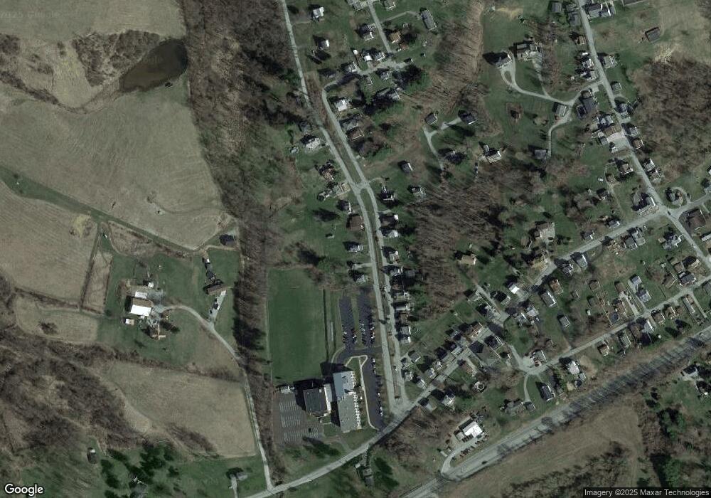
Map
Nearby Homes
- 839 Main St
- 164 B Puritan Rd
- 293 College Ave
- 1859 McClellandtown Rd
- 512 Leckrone Highhouse Rd
- 1892 McClellandtown Rd
- 1441 Leckrone Masontown Rd
- 548 N Main St
- 76 Foch Cir
- 534 Broadway St
- 520 Palmer Rd
- 543 N Main St
- 81 Pershing Blvd
- 431 N Main St
- 375 Old Route 21 Rd
- 2 Arlington Ave
- 11 Gilmore Ave
- 215 Yasenosky Rd
- 113 E Church Ave
- 233 Water St