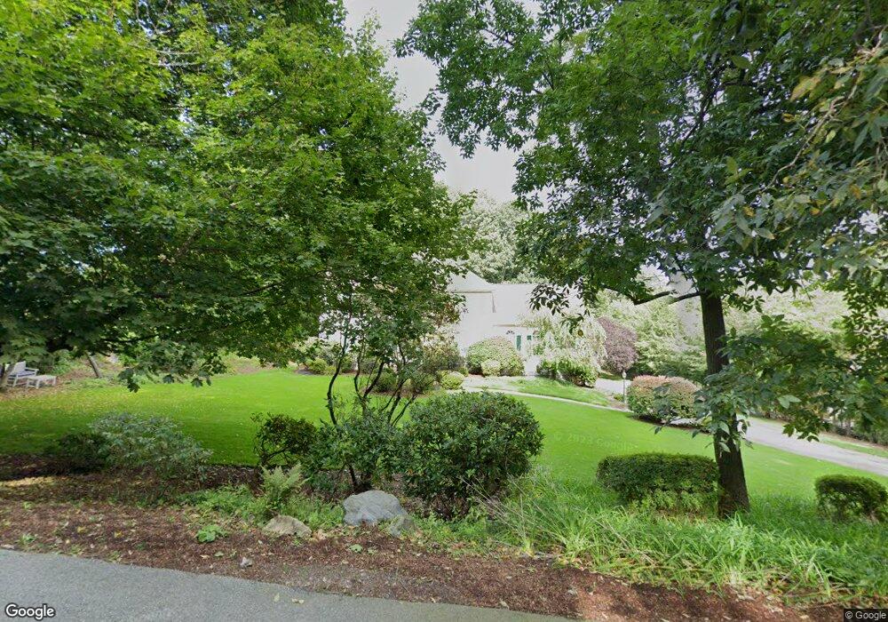
127 Concord Ave Lexington, MA 02421
Follen Heights NeighborhoodEstimated Value: $1,675,000 - $2,574,000
4
Beds
4
Baths
3,126
Sq Ft
$678/Sq Ft
Est. Value
About This Home
This home is located at 127 Concord Ave, Lexington, MA 02421 and is currently estimated at $2,119,929, approximately $678 per square foot. 127 Concord Ave is a home located in Middlesex County with nearby schools including Bowman Elementary School, Jonas Clarke Middle School, and Lexington High School.
Ownership History
Date
Name
Owned For
Owner Type
Purchase Details
Closed on
Mar 24, 1995
Sold by
Kuo Ting Yer Ping
Bought by
Schnitzer Jeffrey H and Schnitzer Lois C
Current Estimated Value
Create a Home Valuation Report for This Property
The Home Valuation Report is an in-depth analysis detailing your home's value as well as a comparison with similar homes in the area
Home Values in the Area
Average Home Value in this Area
Purchase History
| Date | Buyer | Sale Price | Title Company |
|---|---|---|---|
| Schnitzer Jeffrey H | $535,000 | -- |
Source: Public Records
Mortgage History
| Date | Status | Borrower | Loan Amount |
|---|---|---|---|
| Open | Schnitzer Jeffrey H | $471,000 | |
| Closed | Schnitzer Jeffrey H | $455,000 | |
| Closed | Schnitzer Jeffrey H | $450,000 |
Source: Public Records
Tax History Compared to Growth
Tax History
| Year | Tax Paid | Tax Assessment Tax Assessment Total Assessment is a certain percentage of the fair market value that is determined by local assessors to be the total taxable value of land and additions on the property. | Land | Improvement |
|---|---|---|---|---|
| 2025 | $21,292 | $1,741,000 | $684,000 | $1,057,000 |
| 2024 | $20,617 | $1,683,000 | $651,000 | $1,032,000 |
| 2023 | $19,032 | $1,464,000 | $592,000 | $872,000 |
| 2022 | $18,382 | $1,332,000 | $538,000 | $794,000 |
| 2021 | $18,592 | $1,292,000 | $512,000 | $780,000 |
| 2020 | $17,211 | $1,225,000 | $512,000 | $713,000 |
| 2019 | $16,944 | $1,200,000 | $488,000 | $712,000 |
| 2018 | $16,273 | $1,138,000 | $465,000 | $673,000 |
| 2017 | $15,635 | $1,079,000 | $429,000 | $650,000 |
| 2016 | $15,199 | $1,041,000 | $408,000 | $633,000 |
| 2015 | $14,563 | $980,000 | $371,000 | $609,000 |
| 2014 | $13,711 | $884,000 | $330,000 | $554,000 |
Source: Public Records
Map
Nearby Homes
- 65 Woburn St
- 6 Linc Cole Ln
- 170 Clocktower Dr Unit 5103
- 55 Circle Dr
- 5 April Ln Unit 12
- 1105 Lexington St Unit 9-2
- 64 Browning Rd
- 4 Aerial St
- 116 Raffaele Dr
- 475 Massachusetts Ave Unit B
- 97 Harrington Rd
- 107 Hibbert St
- 70 Birch Hill Rd
- 35 Tower Rd
- 70 Rosewood Dr
- 56 Valentine Rd
- 53 Crestview Rd
- 1 Tricorne Rd
- 30 Wampum Ave
- 20 Marrett Rd
- 137 Concord Ave
- 130 Concord Ave
- 28 Lawrence Ln
- 119 Concord Ave
- 119 Concord Ave Unit 1
- 124 Concord Ave
- 136 Concord Ave
- 143 Concord Ave
- 115 Concord Ave
- 113 Concord Ave
- 113 Concord Ave Unit 113,113-115
- 113 Concord Ave Unit 113
- 30 Lawrence Ln
- 116 Concord Ave
- 138 Concord Ave
- 144 Concord Ave
- 24 Lawrence Ln
- 149 Concord Ave
- 32 Lawrence Ln
- 110 Concord Ave