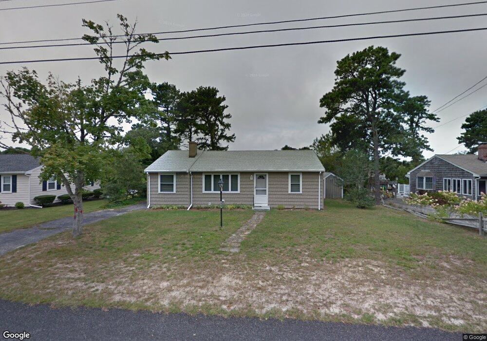
127 Cornell Dr Dennis Port, MA 02639
Dennis Port NeighborhoodEstimated Value: $516,000 - $656,000
3
Beds
1
Bath
992
Sq Ft
$610/Sq Ft
Est. Value
About This Home
This home is located at 127 Cornell Dr, Dennis Port, MA 02639 and is currently estimated at $604,797, approximately $609 per square foot. 127 Cornell Dr is a home located in Barnstable County with nearby schools including Dennis-Yarmouth Regional High School and St. Pius X. School.
Ownership History
Date
Name
Owned For
Owner Type
Purchase Details
Closed on
Jun 29, 2018
Sold by
Ovadia Laila M
Bought by
Ovadia Ft
Current Estimated Value
Purchase Details
Closed on
May 29, 2018
Sold by
Ovadia Morris F and Ovadia Laila M
Bought by
Ovadia Laila M
Purchase Details
Closed on
Jun 19, 1987
Sold by
Samalis Claudia M
Bought by
Vozzella Rudolph
Create a Home Valuation Report for This Property
The Home Valuation Report is an in-depth analysis detailing your home's value as well as a comparison with similar homes in the area
Home Values in the Area
Average Home Value in this Area
Purchase History
| Date | Buyer | Sale Price | Title Company |
|---|---|---|---|
| Ovadia Ft | -- | -- | |
| Ovadia Laila M | -- | -- | |
| Vozzella Rudolph | $65,750 | -- |
Source: Public Records
Tax History Compared to Growth
Tax History
| Year | Tax Paid | Tax Assessment Tax Assessment Total Assessment is a certain percentage of the fair market value that is determined by local assessors to be the total taxable value of land and additions on the property. | Land | Improvement |
|---|---|---|---|---|
| 2025 | $2,378 | $549,100 | $202,200 | $346,900 |
| 2024 | $2,234 | $508,900 | $194,500 | $314,400 |
| 2023 | $2,160 | $462,600 | $176,800 | $285,800 |
| 2022 | $2,112 | $377,200 | $159,300 | $217,900 |
| 2021 | $2,156 | $357,600 | $178,400 | $179,200 |
| 2020 | $1,944 | $318,700 | $156,100 | $162,600 |
| 2019 | $1,837 | $297,700 | $153,100 | $144,600 |
| 2018 | $1,747 | $275,600 | $145,700 | $129,900 |
| 2017 | $1,605 | $261,000 | $135,300 | $125,700 |
| 2016 | $1,628 | $249,300 | $145,700 | $103,600 |
| 2015 | $1,585 | $247,700 | $145,700 | $102,000 |
| 2014 | $1,441 | $226,900 | $124,900 | $102,000 |
Source: Public Records
Map
Nearby Homes
- 19 Standish Way
- 80 Michaels Ave
- 4 Coffey Ln
- 22 Wixon Rd
- 31 Easy St
- 71 Main St
- 125 Main St Unit 3
- 12 Spoonbill Rd
- 72 Bassett Ln
- 268 Main St
- 15 Woodside Park Rd
- 37 Ocean Dr Unit 2
- 95 Center St
- 64 Beaten Rd
- 26 Center St
- 22 Ferncliff Rd
- 61 Trotters Ln
- 37 Beach Hills Rd
- 37-A Beach Hills Rd
- 112 Old Wharf Rd Unit E4