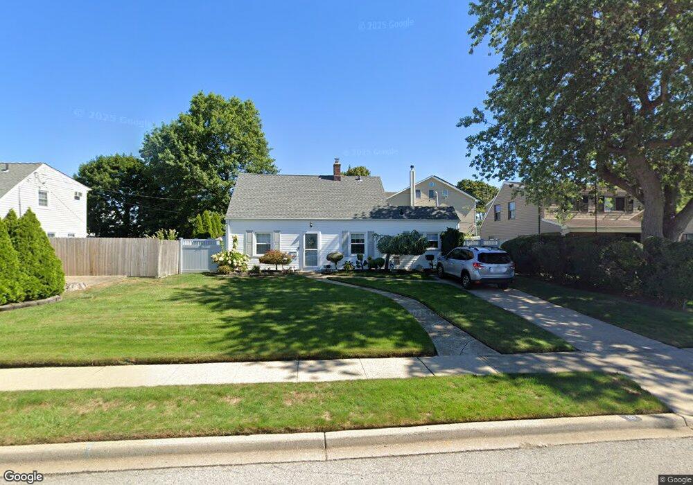
127 Cotton Ln Levittown, NY 11756
Estimated Value: $632,196 - $650,000
4
Beds
1
Bath
1,219
Sq Ft
$526/Sq Ft
Est. Value
About This Home
This home is located at 127 Cotton Ln, Levittown, NY 11756 and is currently estimated at $641,098, approximately $525 per square foot. 127 Cotton Ln is a home located in Nassau County with nearby schools including Michael F. Stokes Elementary School, J Fred Sparke Elementary School, and Island Trees Middle School.
Ownership History
Date
Name
Owned For
Owner Type
Purchase Details
Closed on
Jun 30, 2014
Sold by
Tretola Karen and Tertola Robert J
Bought by
Murray Amanda R and Sparacino Robert Jh
Current Estimated Value
Home Financials for this Owner
Home Financials are based on the most recent Mortgage that was taken out on this home.
Original Mortgage
$309,294
Outstanding Balance
$236,382
Interest Rate
4.25%
Mortgage Type
FHA
Estimated Equity
$404,716
Purchase Details
Closed on
Sep 12, 2005
Sold by
Bartlett Bernadette
Bought by
Tretola Karen
Create a Home Valuation Report for This Property
The Home Valuation Report is an in-depth analysis detailing your home's value as well as a comparison with similar homes in the area
Home Values in the Area
Average Home Value in this Area
Purchase History
| Date | Buyer | Sale Price | Title Company |
|---|---|---|---|
| Murray Amanda R | $315,000 | -- | |
| Tretola Karen | $360,000 | -- |
Source: Public Records
Mortgage History
| Date | Status | Borrower | Loan Amount |
|---|---|---|---|
| Open | Murray Amanda R | $309,294 |
Source: Public Records
Tax History Compared to Growth
Tax History
| Year | Tax Paid | Tax Assessment Tax Assessment Total Assessment is a certain percentage of the fair market value that is determined by local assessors to be the total taxable value of land and additions on the property. | Land | Improvement |
|---|---|---|---|---|
| 2025 | $7,131 | $359 | $201 | $158 |
| 2024 | $2,638 | $371 | $207 | $164 |
| 2023 | $6,320 | $381 | $213 | $168 |
| 2022 | $6,320 | $383 | $214 | $169 |
| 2021 | $7,812 | $394 | $220 | $174 |
| 2020 | $6,165 | $484 | $472 | $12 |
| 2019 | $6,118 | $484 | $472 | $12 |
| 2018 | $5,746 | $484 | $0 | $0 |
| 2017 | $2,854 | $484 | $447 | $37 |
| 2016 | $5,068 | $484 | $425 | $59 |
| 2015 | $2,393 | $511 | $449 | $62 |
| 2014 | $2,393 | $511 | $449 | $62 |
| 2013 | $2,313 | $537 | $472 | $65 |
Source: Public Records
Map
Nearby Homes