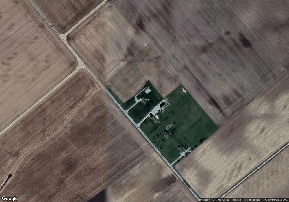
127 Cowman Rd Wilmington, OH 45177
Estimated Value: $338,000 - $468,175
3
Beds
3
Baths
2,058
Sq Ft
$201/Sq Ft
Est. Value
About This Home
This home is located at 127 Cowman Rd, Wilmington, OH 45177 and is currently estimated at $413,294, approximately $200 per square foot. 127 Cowman Rd is a home with nearby schools including East End Elementary School, Denver Place Elementary School, and Roy E. Holmes Elementary School.
Ownership History
Date
Name
Owned For
Owner Type
Purchase Details
Closed on
May 11, 2012
Sold by
Merchants National Bank
Bought by
Angne Jacob G and Angne Evelyn L
Current Estimated Value
Home Financials for this Owner
Home Financials are based on the most recent Mortgage that was taken out on this home.
Original Mortgage
$150,500
Outstanding Balance
$63,599
Interest Rate
3.9%
Estimated Equity
$349,695
Purchase Details
Closed on
Dec 17, 2009
Sold by
Ralph D Fizer Jr Sheriff Of Clinton Cou
Bought by
Merchants National Bank
Purchase Details
Closed on
Dec 15, 2009
Sold by
Maximum Builders Llc
Bought by
Merchants National Bank
Create a Home Valuation Report for This Property
The Home Valuation Report is an in-depth analysis detailing your home's value as well as a comparison with similar homes in the area
Home Values in the Area
Average Home Value in this Area
Purchase History
| Date | Buyer | Sale Price | Title Company |
|---|---|---|---|
| Angne Jacob G | -- | -- | |
| Merchants National Bank | -- | -- | |
| Merchants National Bank | $33,400 | -- |
Source: Public Records
Mortgage History
| Date | Status | Borrower | Loan Amount |
|---|---|---|---|
| Open | Angne Jacob G | $150,500 |
Source: Public Records
Tax History Compared to Growth
Tax History
| Year | Tax Paid | Tax Assessment Tax Assessment Total Assessment is a certain percentage of the fair market value that is determined by local assessors to be the total taxable value of land and additions on the property. | Land | Improvement |
|---|---|---|---|---|
| 2024 | $4,230 | $122,120 | $14,950 | $107,170 |
| 2023 | $4,230 | $122,120 | $14,950 | $107,170 |
| 2022 | $3,520 | $94,130 | $9,320 | $84,810 |
| 2021 | $3,558 | $94,130 | $9,320 | $84,810 |
| 2020 | $3,476 | $94,130 | $9,320 | $84,810 |
| 2019 | $3,331 | $84,150 | $9,320 | $74,830 |
| 2018 | $3,148 | $84,150 | $9,320 | $74,830 |
| 2017 | $3,061 | $84,150 | $9,320 | $74,830 |
| 2016 | $2,308 | $63,100 | $8,810 | $54,290 |
| 2015 | $2,167 | $63,100 | $8,810 | $54,290 |
| 2013 | $2,098 | $58,990 | $9,320 | $49,670 |
Source: Public Records
Map
Nearby Homes
- 00 Mccoy Rd
- 13279 Ohio 729
- 2762 Reed Rd
- 3511 Us Rt 22 & 3
- 719 Reed Rd
- 288 Clark Rd
- 0 Us Rt 22 & 3 Unit 1838150
- 82 Lynne Ln
- 75 Lynne Ln
- 0 Fairway Dr Unit 1689816
- 3657 Farmers Rd
- 1393 S State Route 72
- 816 Farmers Rd
- 1200 Farmers Rd
- 3509 S St Rt 72
- 3509 S State Route 72
- 13287 State Route 729
- 3605 Ohio 72
- 3445 St Rt 72
- 57 Kings Ct