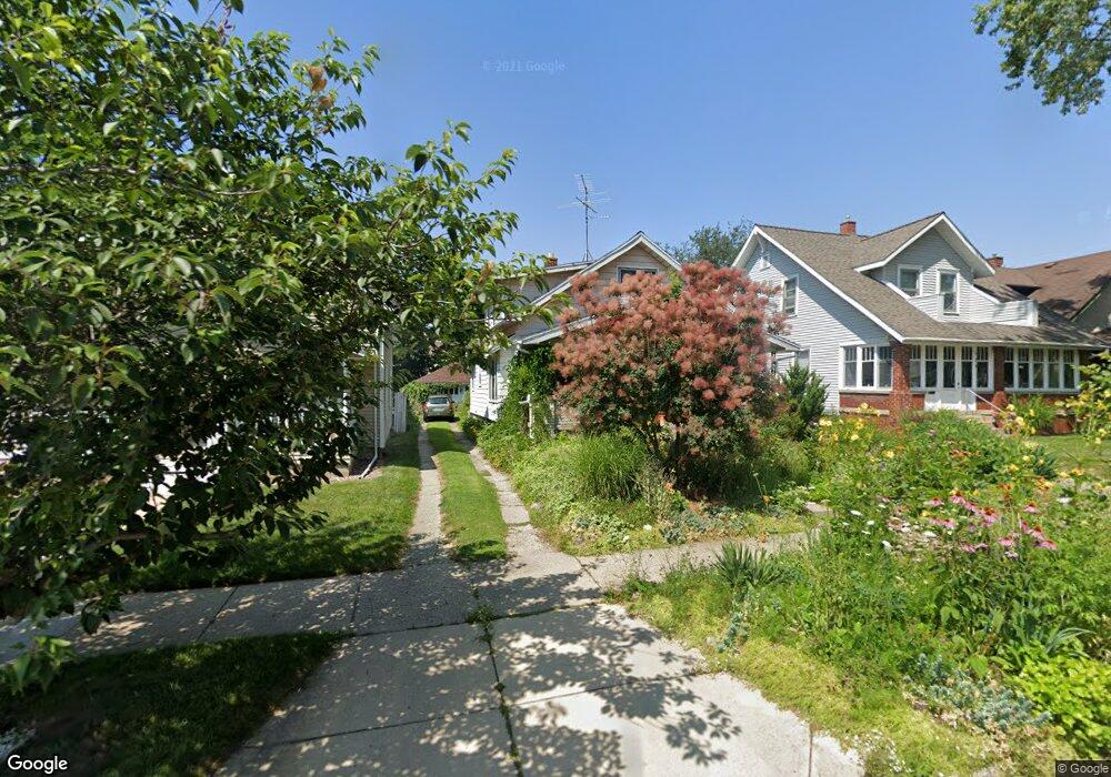
127 Dean St NE Grand Rapids, MI 49505
Creston NeighborhoodEstimated Value: $235,000 - $296,000
3
Beds
1
Bath
1,152
Sq Ft
$225/Sq Ft
Est. Value
About This Home
This home is located at 127 Dean St NE, Grand Rapids, MI 49505 and is currently estimated at $259,583, approximately $225 per square foot. 127 Dean St NE is a home located in Kent County with nearby schools including Palmer School, Riverside Middle School, and Union High School.
Ownership History
Date
Name
Owned For
Owner Type
Purchase Details
Closed on
Feb 13, 2009
Sold by
Gillis Mary Theresa
Bought by
Felkers Anna Maria M
Current Estimated Value
Home Financials for this Owner
Home Financials are based on the most recent Mortgage that was taken out on this home.
Original Mortgage
$63,822
Outstanding Balance
$40,257
Interest Rate
5.06%
Mortgage Type
FHA
Estimated Equity
$219,326
Purchase Details
Closed on
Sep 1, 1994
Sold by
Gillis Theodore A
Bought by
Felkers Anna Maria M
Create a Home Valuation Report for This Property
The Home Valuation Report is an in-depth analysis detailing your home's value as well as a comparison with similar homes in the area
Home Values in the Area
Average Home Value in this Area
Purchase History
| Date | Buyer | Sale Price | Title Company |
|---|---|---|---|
| Felkers Anna Maria M | $65,000 | None Available | |
| Felkers Anna Maria M | -- | -- |
Source: Public Records
Mortgage History
| Date | Status | Borrower | Loan Amount |
|---|---|---|---|
| Open | Felkers Anna Maria M | $63,822 |
Source: Public Records
Tax History Compared to Growth
Tax History
| Year | Tax Paid | Tax Assessment Tax Assessment Total Assessment is a certain percentage of the fair market value that is determined by local assessors to be the total taxable value of land and additions on the property. | Land | Improvement |
|---|---|---|---|---|
| 2025 | $1,288 | $112,300 | $0 | $0 |
| 2024 | $1,288 | $100,000 | $0 | $0 |
| 2023 | $1,306 | $90,700 | $0 | $0 |
| 2022 | $1,240 | $81,300 | $0 | $0 |
| 2021 | $1,213 | $71,800 | $0 | $0 |
| 2020 | $1,159 | $62,400 | $0 | $0 |
| 2019 | $1,214 | $56,800 | $0 | $0 |
| 2018 | $1,173 | $49,900 | $0 | $0 |
| 2017 | $1,141 | $39,400 | $0 | $0 |
| 2016 | $1,155 | $36,100 | $0 | $0 |
| 2015 | $1,074 | $36,100 | $0 | $0 |
| 2013 | -- | $31,600 | $0 | $0 |
Source: Public Records
Map
Nearby Homes
- 142 Burr Oak St NE
- 143 Dean St NE
- 1922 Coit Ave NE
- 22 Elmwood St NE
- 225 Burr Oak St NE
- 155 Palmer St NE
- 30 Palmer St NW
- 2060 Swensberg Ave NE
- 16 Graceland St NE
- 2107 Prospect Ave NE
- 122 Bowne St NE
- 68 Bowne St NE
- 240 Eleanor St NE
- 212 Saunders Ct NE
- 310 Sweet St NE
- 1530 Queen Ave NE
- 465 Kenwood St NE
- 327 Quimby St NE
- 1420 Buffalo Ave NE
- 483 Kenwood St NE
- 121 Dean St NE
- 135 Dean St NE
- 119 Dean St NE
- 139 Dean St NE
- 115 Dean St NE
- 126 Burr Oak St NE
- 130 Burr Oak St NE
- 122 Burr Oak St NE
- 134 Burr Oak St NE
- 111 Dean St NE
- 118 Burr Oak St NE
- 138 Burr Oak St NE
- 124 Dean St NE
- 128 Dean St NE
- 105 Dean St NE
- 147 Dean St NE
- 120 Dean St NE
- 110 Burr Oak St NE
- 116 Dean St NE
- 136 Dean St NE