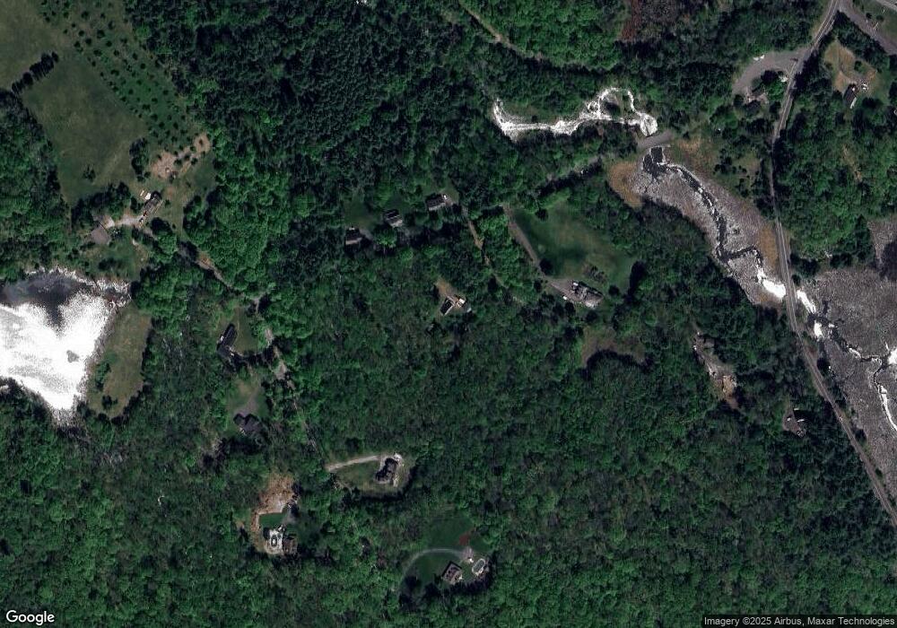
127 Dunham Rd Warren, MA 01083
Estimated Value: $316,000 - $403,000
2
Beds
1
Bath
1,152
Sq Ft
$312/Sq Ft
Est. Value
About This Home
This home is located at 127 Dunham Rd, Warren, MA 01083 and is currently estimated at $358,940, approximately $311 per square foot. 127 Dunham Rd is a home with nearby schools including Quaboag Regional High School.
Ownership History
Date
Name
Owned For
Owner Type
Purchase Details
Closed on
Aug 7, 2009
Sold by
Kaczenski Lisa L
Bought by
Fletcher Michael L
Current Estimated Value
Home Financials for this Owner
Home Financials are based on the most recent Mortgage that was taken out on this home.
Original Mortgage
$9,999,999
Outstanding Balance
$6,605,982
Interest Rate
5.47%
Mortgage Type
Purchase Money Mortgage
Estimated Equity
-$6,247,042
Purchase Details
Closed on
Sep 7, 2001
Sold by
Gary Kenrick Fam Nt and Kendrick Gary A
Bought by
Kaczenski Lisa L
Home Financials for this Owner
Home Financials are based on the most recent Mortgage that was taken out on this home.
Original Mortgage
$110,000
Interest Rate
7.05%
Mortgage Type
Purchase Money Mortgage
Create a Home Valuation Report for This Property
The Home Valuation Report is an in-depth analysis detailing your home's value as well as a comparison with similar homes in the area
Home Values in the Area
Average Home Value in this Area
Purchase History
| Date | Buyer | Sale Price | Title Company |
|---|---|---|---|
| Fletcher Michael L | $165,000 | -- | |
| Kaczenski Lisa L | $145,000 | -- |
Source: Public Records
Mortgage History
| Date | Status | Borrower | Loan Amount |
|---|---|---|---|
| Open | Fletcher Michael L | $9,999,999 | |
| Previous Owner | Kaczenski Lisa L | $110,000 |
Source: Public Records
Tax History Compared to Growth
Tax History
| Year | Tax Paid | Tax Assessment Tax Assessment Total Assessment is a certain percentage of the fair market value that is determined by local assessors to be the total taxable value of land and additions on the property. | Land | Improvement |
|---|---|---|---|---|
| 2025 | $3,913 | $264,200 | $68,500 | $195,700 |
| 2024 | $3,981 | $264,200 | $68,500 | $195,700 |
| 2023 | $3,911 | $247,500 | $68,500 | $179,000 |
| 2022 | $3,210 | $206,300 | $52,700 | $153,600 |
| 2021 | $3,144 | $197,000 | $49,900 | $147,100 |
| 2020 | $3,199 | $186,400 | $49,900 | $136,500 |
| 2019 | $3,223 | $177,600 | $49,800 | $127,800 |
| 2018 | $2,854 | $164,800 | $49,800 | $115,000 |
| 2017 | $2,947 | $158,800 | $51,700 | $107,100 |
| 2016 | $3,018 | $152,100 | $49,300 | $102,800 |
| 2015 | $2,739 | $146,100 | $49,300 | $96,800 |
| 2014 | $2,727 | $142,800 | $44,300 | $98,500 |
Source: Public Records
Map
Nearby Homes
- 0 Brimfield Rd Unit 73426061
- 261 Little Rest Rd
- 12 Presidential Cir
- 3 Heritage Dr
- 0 Lyman Barnes Rd
- 34 Lyman Barnes Rd
- 281 Warren Rd
- Lot 3C Crouch Rd
- 515 Keys Rd
- 235 Crouch Rd
- 368 Keys Rd
- Lot 7 Reed St
- Lot 5 Brimfield Rd
- Lot 3 Brimfield Rd
- 366 Southbridge Rd
- 1212 Southbridge Rd
- 170 Bridge St
- 59 High St
- 82 Comins Pond Rd
- Lot 8 Southbridge Rd
