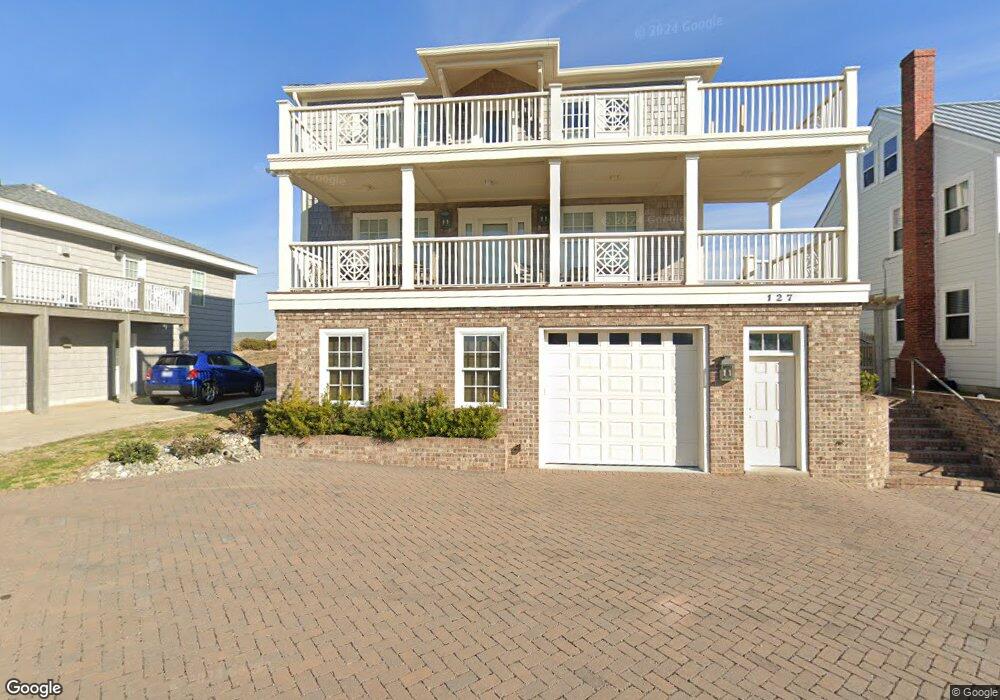
127 E Atlantic Blvd Atlantic Beach, NC 28512
Estimated Value: $1,425,000 - $1,799,578
About This Home
This home is located at 127 E Atlantic Blvd, Atlantic Beach, NC 28512 and is currently estimated at $1,607,145, approximately $422 per square foot. 127 E Atlantic Blvd is a home located in Carteret County with nearby schools including Morehead City Primary School, Morehead Elementary School at Camp Glenn, and Morehead City Middle School.
Ownership History
Purchase Details
Home Financials for this Owner
Home Financials are based on the most recent Mortgage that was taken out on this home.Home Values in the Area
Average Home Value in this Area
Purchase History
We collect this data history from publicly available records. To have your information removed, we recommend requesting removal directly through your county’s website.
| Date | Buyer | Sale Price | Title Company |
|---|---|---|---|
| Newton Walter L | $550,000 | None Available |
Mortgage History
We collect this data history from publicly available records. To have your information removed, we recommend requesting removal directly through your county’s website.
| Date | Status | Borrower | Loan Amount |
|---|---|---|---|
| Open | Newton Walter L | $412,500 |
Tax History
| Year | Tax Paid | Tax Assessment Tax Assessment Total Assessment is a certain percentage of the fair market value that is determined by local assessors to be the total taxable value of land and additions on the property. | Land | Improvement |
|---|---|---|---|---|
| 2025 | $3,390 | $1,463,231 | $287,066 | $1,176,165 |
| 2024 | $3,617 | $1,034,913 | $272,160 | $762,753 |
| 2023 | $3,597 | $1,053,470 | $272,160 | $781,310 |
| 2022 | $3,491 | $1,053,470 | $272,160 | $781,310 |
| 2021 | $3,491 | $1,053,470 | $272,160 | $781,310 |
| 2020 | $3,491 | $1,053,470 | $272,160 | $781,310 |
| 2019 | $2,709 | $868,906 | $217,728 | $651,178 |
| 2017 | $2,709 | $868,906 | $217,728 | $651,178 |
| 2016 | $2,709 | $868,906 | $217,728 | $651,178 |
| 2015 | $2,622 | $868,906 | $217,728 | $651,178 |
| 2014 | $1,546 | $510,193 | $261,630 | $248,563 |
Map
- 208 Beaufort Ave Unit 1
- 207 E Terminal Blvd
- 115 E Bogue Blvd
- 217 W Atlantic Blvd Unit 4
- 310 E Terminal Blvd
- 100 E Bogue Sound Dr
- 215 E Fort MacOn Rd
- 401 E Atlantic Blvd
- 104 Atlantic Beach Causeway
- 202 W Atlantic Blvd
- 108 N Kinston Ave
- 202 Glenn St
- 108 W Terminal Blvd Unit B
- 213 W Bogue Sound Dr
- 308 W Bogue Blvd
- 310 N Kinston Ave
- 147 Bayview Blvd
- 400 Atlantic Beach Causeway Unit Slip 2
- 407 Atlantic Beach Causeway Unit D-25
- 404 Dobbs St
- 122 E Terminal Blvd
- 124 E Terminal Blvd
- 120 E Terminal Blvd
- 128 E Terminal Blvd
- 126 Terminal Blvd
- 118 E Terminal Blvd
- 125 E Terminal Blvd Unit B
- 125 E Terminal Blvd Unit A
- 123 E Terminal Blvd
- 127 E Terminal Blvd Unit B
- 127 E Terminal Blvd Unit A
- 116 E Terminal Blvd
- 121 E Terminal Blvd
- 123 E Atlantic Blvd
- 119 E Terminal Blvd
- 208 Beaufort Ave
- 114 E Terminal Blvd
- 119 E Atlantic Blvd
- 117 E Atlantic Blvd
- 121 E Atlantic Blvd
Ask me questions while you tour the home.