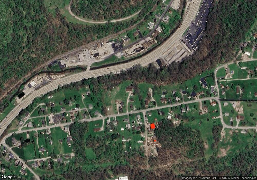
127 E End Rd Connellsville, PA 15425
Estimated Value: $208,000 - $347,000
3
Beds
2
Baths
1,400
Sq Ft
$186/Sq Ft
Est. Value
About This Home
This home is located at 127 E End Rd, Connellsville, PA 15425 and is currently estimated at $260,872, approximately $186 per square foot. 127 E End Rd is a home located in Fayette County with nearby schools including Connellsville Area Senior High School, Conn Area Catholic School, and Mt Carmel Christian School.
Ownership History
Date
Name
Owned For
Owner Type
Purchase Details
Closed on
Aug 23, 2017
Sold by
Gallo Susan L
Bought by
Landman Michael S
Current Estimated Value
Home Financials for this Owner
Home Financials are based on the most recent Mortgage that was taken out on this home.
Original Mortgage
$44,000
Outstanding Balance
$36,715
Interest Rate
3.96%
Mortgage Type
Purchase Money Mortgage
Estimated Equity
$224,157
Purchase Details
Closed on
Jul 22, 2015
Sold by
Gallo Susan L and Gallo Barry L
Bought by
Landman Michael Scott and Landman Marcia Lynn
Home Financials for this Owner
Home Financials are based on the most recent Mortgage that was taken out on this home.
Original Mortgage
$175,000
Interest Rate
4.01%
Mortgage Type
Purchase Money Mortgage
Purchase Details
Closed on
Oct 27, 2003
Bought by
Gallo Susan L and Gallo Barry L
Create a Home Valuation Report for This Property
The Home Valuation Report is an in-depth analysis detailing your home's value as well as a comparison with similar homes in the area
Home Values in the Area
Average Home Value in this Area
Purchase History
| Date | Buyer | Sale Price | Title Company |
|---|---|---|---|
| Landman Michael S | $55,000 | None Available | |
| Landman Michael Scott | $195,000 | None Available | |
| Gallo Susan L | -- | -- |
Source: Public Records
Mortgage History
| Date | Status | Borrower | Loan Amount |
|---|---|---|---|
| Open | Landman Michael S | $44,000 | |
| Previous Owner | Landman Michael Scott | $175,000 |
Source: Public Records
Tax History
| Year | Tax Paid | Tax Assessment Tax Assessment Total Assessment is a certain percentage of the fair market value that is determined by local assessors to be the total taxable value of land and additions on the property. | Land | Improvement |
|---|---|---|---|---|
| 2025 | $1,343 | $57,240 | $15,215 | $42,025 |
| 2024 | $1,277 | $57,240 | $15,215 | $42,025 |
| 2023 | $2,458 | $57,240 | $15,215 | $42,025 |
| 2022 | $2,458 | $57,240 | $15,215 | $42,025 |
| 2021 | $2,458 | $57,240 | $15,215 | $42,025 |
| 2020 | $2,458 | $57,240 | $15,215 | $42,025 |
| 2019 | $2,315 | $57,240 | $15,215 | $42,025 |
| 2018 | $2,315 | $57,240 | $15,215 | $42,025 |
| 2017 | $2,315 | $57,240 | $15,215 | $42,025 |
| 2016 | -- | $57,240 | $15,215 | $42,025 |
| 2015 | -- | $57,240 | $15,215 | $42,025 |
| 2014 | -- | $114,480 | $30,430 | $84,050 |
Source: Public Records
Map
Nearby Homes
- 224 E End Rd
- 722 Connellsville Ave
- 148 Van Dr
- 1204 Memorial Blvd
- 1114 N Jefferson St
- 326 Narrows Rd
- 304 Narrows Rd
- 608 E Crawford Ave
- 3106 Upper Ridgeview Rd
- 1001 Springfield Pike
- 515-517 Pittsburgh St
- 243 E Fairview Ave
- 125 W Peach St
- 535 Broadford Rd
- 214 E Fairview Ave
- 209 E South St
- 118 S Carnegie Ave
- 0 Spruce Hollow Rd Unit 1742476
- 316 W Crawford Ave
- 312 E Washington Ave
Your Personal Tour Guide
Ask me questions while you tour the home.