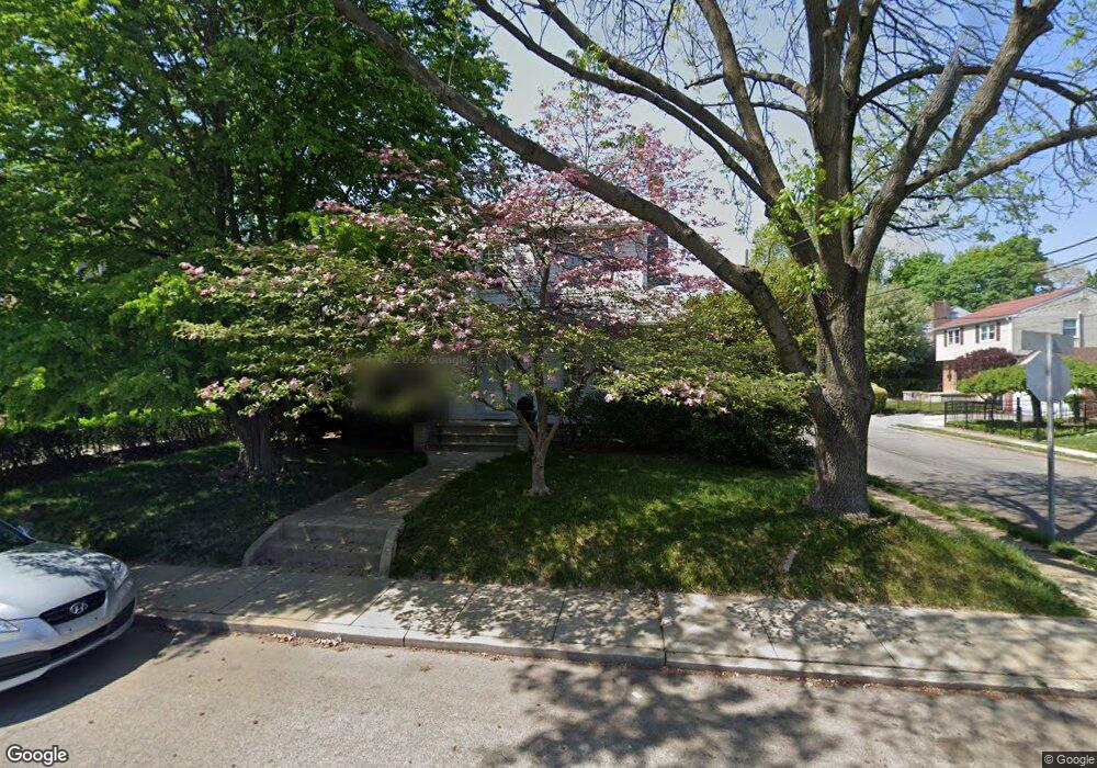
127 E Plumstead Ave Lansdowne, PA 19050
Estimated Value: $302,000 - $365,000
3
Beds
2
Baths
1,914
Sq Ft
$173/Sq Ft
Est. Value
About This Home
This home is located at 127 E Plumstead Ave, Lansdowne, PA 19050 and is currently estimated at $331,025, approximately $172 per square foot. 127 E Plumstead Ave is a home located in Delaware County with nearby schools including East Lansdowne Elementary School, Penn Wood Middle School, and Penn Wood High School - Cypress Street Campus.
Ownership History
Date
Name
Owned For
Owner Type
Purchase Details
Closed on
Mar 18, 2025
Sold by
Marcarelli Helen R
Bought by
Marcarelli Helen R
Current Estimated Value
Purchase Details
Closed on
Apr 19, 1982
Sold by
Marcarelli Gaetano A
Bought by
Marcarelli Helen R Trustee and For Lawrence M Marcarelli
Create a Home Valuation Report for This Property
The Home Valuation Report is an in-depth analysis detailing your home's value as well as a comparison with similar homes in the area
Home Values in the Area
Average Home Value in this Area
Purchase History
| Date | Buyer | Sale Price | Title Company |
|---|---|---|---|
| Marcarelli Helen R | -- | None Listed On Document | |
| Marcarelli Helen R | -- | None Listed On Document | |
| Marcarelli Helen R Trustee | -- | -- |
Source: Public Records
Tax History
| Year | Tax Paid | Tax Assessment Tax Assessment Total Assessment is a certain percentage of the fair market value that is determined by local assessors to be the total taxable value of land and additions on the property. | Land | Improvement |
|---|---|---|---|---|
| 2025 | $7,656 | $185,940 | $47,160 | $138,780 |
| 2024 | $7,656 | $185,940 | $47,160 | $138,780 |
| 2023 | $7,299 | $185,940 | $47,160 | $138,780 |
| 2022 | $7,156 | $185,940 | $47,160 | $138,780 |
| 2021 | $10,745 | $185,940 | $47,160 | $138,780 |
| 2020 | $6,609 | $100,780 | $34,060 | $66,720 |
| 2019 | $6,498 | $100,780 | $34,060 | $66,720 |
| 2018 | $6,387 | $100,780 | $0 | $0 |
| 2017 | $6,246 | $100,780 | $0 | $0 |
| 2016 | $553 | $100,780 | $0 | $0 |
| 2015 | $553 | $100,780 | $0 | $0 |
| 2014 | $553 | $100,780 | $0 | $0 |
Source: Public Records
Map
Nearby Homes
- 291 Jackson Ave
- 291 N Wycombe Ave
- 360 Huntley Rd
- 7303 Sherbrook Blvd
- 210 Wabash Ave
- 247 Coverly Rd
- 243 Coverly Rd
- 212 N Maple Ave
- 327 Congress Ave
- 91 Lamport Rd
- 7265 Calvin Rd
- 319 Avon Rd
- 7261 Calvin Rd
- 305 Margate Rd
- 311 Margate Rd
- 341 Congress Ave
- 178 N Union Ave
- 7273 Guilford Rd
- 7283 Bradford Rd
- 341 Wayne Ave
- 125 E Plumstead Ave
- 123 E Plumstead Ave
- 117 E Plumstead Ave
- 124 1/2 E Plumstead Ave
- 131 E Plumstead Ave
- 266 Cooper Ave
- 124 E Plumstead Ave
- 124 E Plumstead Ave
- 126 E Plumstead Ave
- 128 E Plumstead Ave
- 287 Crawford Ave
- 133 E Plumstead Ave
- 265 Cooper Ave
- 130 E Plumstead Ave
- 100 E Plumstead Ave
- 267 Cooper Ave
- 270 Cooper Ave
- 291 Crawford Ave
- 135 E Plumstead Ave
- 122 E Plumstead Ave
Your Personal Tour Guide
Ask me questions while you tour the home.