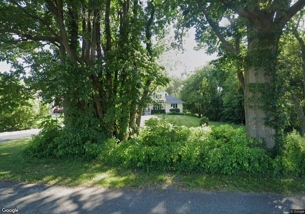
127 Elm St Seekonk, MA 02771
Estimated Value: $631,000 - $816,000
3
Beds
2
Baths
2,050
Sq Ft
$357/Sq Ft
Est. Value
About This Home
This home is located at 127 Elm St, Seekonk, MA 02771 and is currently estimated at $732,634, approximately $357 per square foot. 127 Elm St is a home located in Bristol County with nearby schools including Seekonk High School, St Margaret School, and The Wolf School.
Ownership History
Date
Name
Owned For
Owner Type
Purchase Details
Closed on
Dec 7, 2017
Sold by
Kanauss Joan A
Bought by
Kanauss Ft 2017 and Sweetland
Current Estimated Value
Purchase Details
Closed on
Oct 16, 1998
Sold by
Carter Frank and Carter Diana
Bought by
Kanauss Thomas W and Kanauss Joan A
Create a Home Valuation Report for This Property
The Home Valuation Report is an in-depth analysis detailing your home's value as well as a comparison with similar homes in the area
Home Values in the Area
Average Home Value in this Area
Purchase History
| Date | Buyer | Sale Price | Title Company |
|---|---|---|---|
| Kanauss Ft 2017 | -- | -- | |
| Kanauss Ft 2017 | -- | -- | |
| Kanauss Thomas W | $75,000 | -- | |
| Kanauss Thomas W | $75,000 | -- |
Source: Public Records
Mortgage History
| Date | Status | Borrower | Loan Amount |
|---|---|---|---|
| Previous Owner | Kanauss Thomas W | $100,000 | |
| Previous Owner | Kanauss Thomas W | $16,000 | |
| Previous Owner | Kanauss Thomas W | $13,500 | |
| Previous Owner | Kanauss Thomas W | $165,000 |
Source: Public Records
Tax History Compared to Growth
Tax History
| Year | Tax Paid | Tax Assessment Tax Assessment Total Assessment is a certain percentage of the fair market value that is determined by local assessors to be the total taxable value of land and additions on the property. | Land | Improvement |
|---|---|---|---|---|
| 2025 | $8,660 | $701,200 | $240,200 | $461,000 |
| 2024 | $8,203 | $664,200 | $240,200 | $424,000 |
| 2023 | $8,046 | $613,700 | $222,400 | $391,300 |
| 2022 | $7,344 | $550,500 | $216,300 | $334,200 |
| 2021 | $7,138 | $526,000 | $199,700 | $326,300 |
| 2020 | $6,610 | $501,900 | $199,500 | $302,400 |
| 2019 | $6,358 | $486,800 | $199,500 | $287,300 |
| 2018 | $6,297 | $471,700 | $199,500 | $272,200 |
| 2017 | $5,948 | $441,900 | $192,400 | $249,500 |
| 2016 | $5,886 | $438,900 | $192,400 | $246,500 |
| 2015 | $5,734 | $433,400 | $192,400 | $241,000 |
Source: Public Records
Map
Nearby Homes
- 39 John Alden Rd
- 824 Taunton Ave
- 420 Chestnut St
- 62 Chestnut St
- 442 Taunton Ave
- 0 Patterson St Unit 73348933
- 524 County St
- 25 Lincoln St
- 42 Tee Jay Dr
- 1078 Taunton Ave
- 349 County St
- 9 Hidden Hills Dr
- 30 Rosemarie Dr
- 14 Evelyn Way
- 147 Olney St
- 0 Pleasant St
- 224 Arcade Ave
- 296 Fall River Ave
- 181 Sherman Ave
- 12 Arthur St