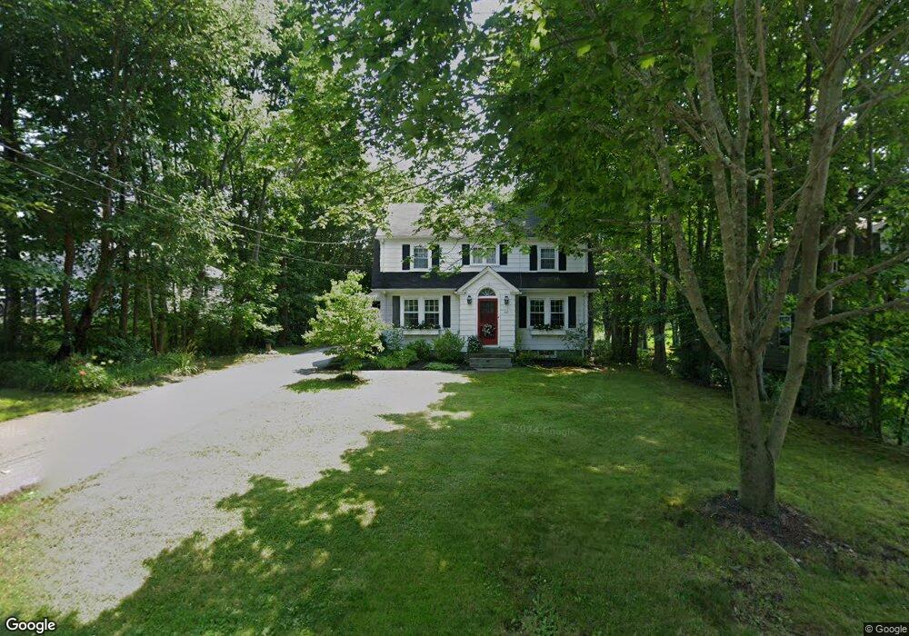
127 Elm St Swansea, MA 02777
West Swansea NeighborhoodEstimated Value: $454,000 - $553,000
3
Beds
2
Baths
1,964
Sq Ft
$258/Sq Ft
Est. Value
About This Home
This home is located at 127 Elm St, Swansea, MA 02777 and is currently estimated at $507,458, approximately $258 per square foot. 127 Elm St is a home located in Bristol County with nearby schools including Joseph Case High School, Swansea Wood School, and SCEC Life Academy.
Ownership History
Date
Name
Owned For
Owner Type
Purchase Details
Closed on
Jan 25, 2023
Sold by
Barrar William H and Barrar Karen L
Bought by
Barrar Erin M and Barrar Riley E
Current Estimated Value
Purchase Details
Closed on
Jun 18, 1981
Bought by
Barrar William H and Barrar Karen L
Create a Home Valuation Report for This Property
The Home Valuation Report is an in-depth analysis detailing your home's value as well as a comparison with similar homes in the area
Home Values in the Area
Average Home Value in this Area
Purchase History
| Date | Buyer | Sale Price | Title Company |
|---|---|---|---|
| Barrar Erin M | -- | None Available | |
| Barrar William H | -- | -- |
Source: Public Records
Mortgage History
| Date | Status | Borrower | Loan Amount |
|---|---|---|---|
| Previous Owner | Barrar William H | $152,872 | |
| Previous Owner | Barrar William H | $40,000 | |
| Previous Owner | Barrar William H | $122,600 |
Source: Public Records
Tax History Compared to Growth
Tax History
| Year | Tax Paid | Tax Assessment Tax Assessment Total Assessment is a certain percentage of the fair market value that is determined by local assessors to be the total taxable value of land and additions on the property. | Land | Improvement |
|---|---|---|---|---|
| 2025 | $4,804 | $403,000 | $146,000 | $257,000 |
| 2024 | $4,808 | $401,000 | $146,000 | $255,000 |
| 2023 | $4,328 | $329,600 | $106,800 | $222,800 |
| 2022 | $3,989 | $280,100 | $97,100 | $183,000 |
| 2021 | $3,989 | $255,200 | $95,900 | $159,300 |
| 2020 | $3,954 | $253,800 | $95,900 | $157,900 |
| 2019 | $3,918 | $252,600 | $85,400 | $167,200 |
| 2018 | $3,797 | $248,500 | $83,100 | $165,400 |
| 2017 | $3,275 | $246,600 | $83,100 | $163,500 |
| 2016 | $3,053 | $225,800 | $71,600 | $154,200 |
| 2015 | $2,960 | $225,400 | $71,600 | $153,800 |
| 2014 | $2,744 | $213,700 | $71,600 | $142,100 |
Source: Public Records
Map
Nearby Homes
- 34 Base Lodge Ln
- 8 2nd St
- 24 Front St
- 0 Hortonville Rd Unit 73242268
- 30 Front St
- 194 Hortonville Rd
- 675 Lees River Ave
- 33 Rhinecliffe Rd
- 265 Stevens Rd
- 197 Alberta Ave
- 19 Richard Rd
- 1 Taunton River
- Lot 11 Lynch
- 0 Proprietors Way Unit 73324662
- Lot 10 Lynch
- 126 Jaffrey St
- 0 Bark St Unit 1342599
- 0 Bark St Unit 73152576
- 19 Keller Ave
- 8 Tower Hill Rd