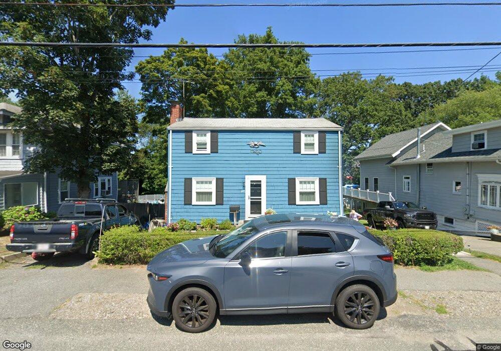
127 Elmlawn Rd Braintree, MA 02184
East Braintree NeighborhoodEstimated Value: $676,317 - $741,000
3
Beds
2
Baths
1,440
Sq Ft
$493/Sq Ft
Est. Value
About This Home
This home is located at 127 Elmlawn Rd, Braintree, MA 02184 and is currently estimated at $709,329, approximately $492 per square foot. 127 Elmlawn Rd is a home located in Norfolk County with nearby schools including Braintree High School, Meeting House Montessori School, and South Shore SDA School.
Ownership History
Date
Name
Owned For
Owner Type
Purchase Details
Closed on
Sep 7, 1971
Bought by
Clarke Wesley W and Clarke Dorothy M
Current Estimated Value
Create a Home Valuation Report for This Property
The Home Valuation Report is an in-depth analysis detailing your home's value as well as a comparison with similar homes in the area
Home Values in the Area
Average Home Value in this Area
Purchase History
| Date | Buyer | Sale Price | Title Company |
|---|---|---|---|
| Clarke Wesley W | -- | -- |
Source: Public Records
Mortgage History
| Date | Status | Borrower | Loan Amount |
|---|---|---|---|
| Open | Clarke Wesley W | $45,500 | |
| Closed | Clarke Wesley W | $60,000 |
Source: Public Records
Tax History Compared to Growth
Tax History
| Year | Tax Paid | Tax Assessment Tax Assessment Total Assessment is a certain percentage of the fair market value that is determined by local assessors to be the total taxable value of land and additions on the property. | Land | Improvement |
|---|---|---|---|---|
| 2025 | $6,237 | $624,900 | $340,600 | $284,300 |
| 2024 | $5,512 | $581,400 | $309,300 | $272,100 |
| 2023 | $5,226 | $535,500 | $277,900 | $257,600 |
| 2022 | $5,061 | $508,600 | $251,000 | $257,600 |
| 2021 | $4,676 | $469,900 | $226,800 | $243,100 |
| 2020 | $4,430 | $449,300 | $206,200 | $243,100 |
| 2019 | $4,173 | $413,600 | $197,200 | $216,400 |
| 2018 | $4,079 | $387,000 | $179,300 | $207,700 |
| 2017 | $3,966 | $369,300 | $170,300 | $199,000 |
| 2016 | $3,830 | $348,800 | $161,400 | $187,400 |
| 2015 | $3,489 | $315,200 | $134,500 | $180,700 |
| 2014 | $3,388 | $296,700 | $129,100 | $167,600 |
Source: Public Records
Map
Nearby Homes
- 106 Home Park Rd
- 48 Conrad St
- 86 Alton Rd
- 1 Pantano St
- 192 Federal Ave Unit B
- 9 Independence Ave Unit 307
- 177 Franklin St
- 166 Phipps St
- 50 N Payne St Unit 1
- 50 N Payne St Unit 3
- 50 N Payne St Unit 4
- 74 Magnolia St
- 30 Skyline Dr Unit 6
- 10 Skyline Dr Unit 5
- 25 W Howard St Unit D2
- 200 Falls Blvd Unit C308
- 15 Bower Rd Unit B5
- 15 Bower Rd Unit B2
- 347 Centre St
- 159 Hobart St
- 123 Elmlawn Rd
- 133 Elmlawn Rd
- 135 Elmlawn Rd
- 119 Elmlawn Rd
- 136 Burroughs Rd
- 139 Elmlawn Rd
- 115 Elmlawn Rd
- 126 Burroughs Rd
- 132 Elmlawn Rd
- 128 Elmlawn Rd
- 120 Elmlawn Rd
- 124 Elmlawn Rd
- 146 Burroughs Rd
- 143 Elmlawn Rd
- 111 Elmlawn Rd
- 136 Elmlawn Rd
- 114 Elmlawn Rd
- 140 Elmlawn Rd
- 107 Elmlawn Rd
- 147 Elmlawn Rd