Estimated Value: $212,818 - $380,000
3
Beds
2
Baths
1,056
Sq Ft
$259/Sq Ft
Est. Value
About This Home
This home is located at 127 Forest Hill Rd, Weems, VA 22576 and is currently estimated at $273,273, approximately $258 per square foot. 127 Forest Hill Rd is a home located in Lancaster County with nearby schools including Lancaster Primary School, Lancaster Middle School, and Lancaster High School.
Ownership History
Date
Name
Owned For
Owner Type
Purchase Details
Closed on
Jun 8, 2007
Sold by
Charnick Eric V and Charnick Joan E
Bought by
Vermilyea Frances J and Luttrell Diane Lee
Current Estimated Value
Home Financials for this Owner
Home Financials are based on the most recent Mortgage that was taken out on this home.
Original Mortgage
$130,000
Outstanding Balance
$79,460
Interest Rate
6.17%
Mortgage Type
New Conventional
Estimated Equity
$193,813
Create a Home Valuation Report for This Property
The Home Valuation Report is an in-depth analysis detailing your home's value as well as a comparison with similar homes in the area
Home Values in the Area
Average Home Value in this Area
Purchase History
| Date | Buyer | Sale Price | Title Company |
|---|---|---|---|
| Vermilyea Frances J | $145,000 | -- |
Source: Public Records
Mortgage History
| Date | Status | Borrower | Loan Amount |
|---|---|---|---|
| Open | Vermilyea Frances J | $130,000 |
Source: Public Records
Tax History Compared to Growth
Tax History
| Year | Tax Paid | Tax Assessment Tax Assessment Total Assessment is a certain percentage of the fair market value that is determined by local assessors to be the total taxable value of land and additions on the property. | Land | Improvement |
|---|---|---|---|---|
| 2024 | $831 | $151,100 | $14,000 | $137,100 |
| 2023 | $556 | $88,300 | $11,000 | $77,300 |
| 2022 | $556 | $88,300 | $11,000 | $77,300 |
| 2021 | $556 | $88,300 | $11,000 | $77,300 |
| 2020 | $556 | $88,300 | $11,000 | $77,300 |
| 2019 | $556 | $88,300 | $11,000 | $77,300 |
| 2018 | $517 | $87,700 | $15,000 | $72,700 |
| 2017 | $517 | $87,700 | $15,000 | $72,700 |
| 2016 | -- | $87,700 | $15,000 | $72,700 |
| 2014 | -- | $0 | $0 | $0 |
| 2013 | -- | $0 | $0 | $0 |
Source: Public Records
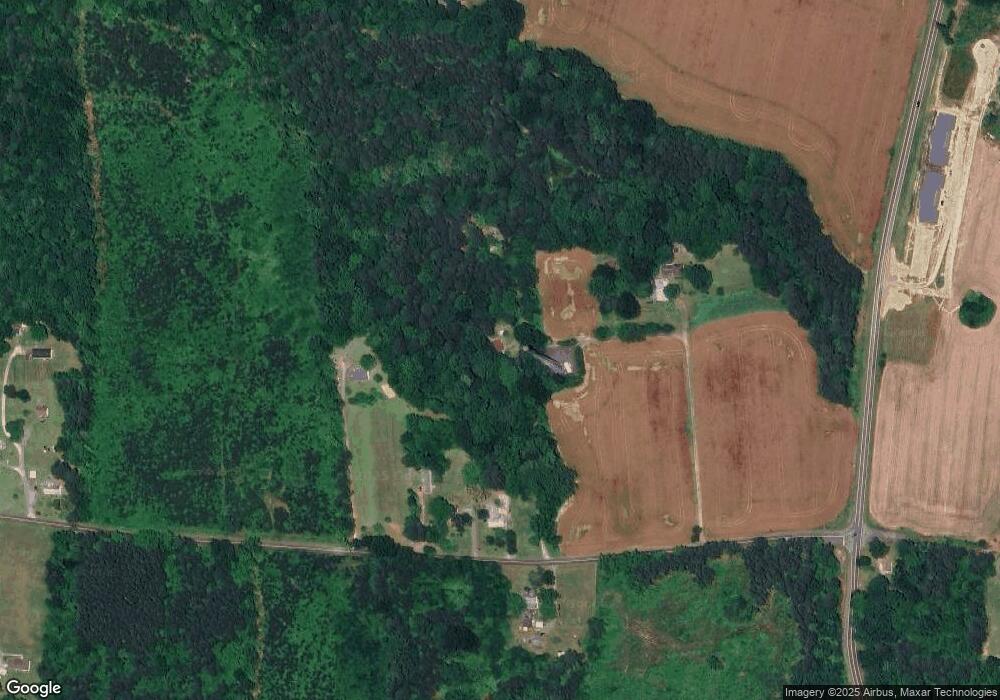
Map
Nearby Homes
- 82 Our Way Dr
- 24 Byway Cir
- 0 Yorkshire St
- 16 Our Way Dr
- 101 Our Way Dr
- Perry Plan at Springwood of Kilmarnock
- Macon Plan at Springwood of Kilmarnock
- Neuville Plan at Springwood of Kilmarnock
- 98 Byway Cir
- 104 Byway Cir
- 99 Byway Cir
- 752 Irvington Rd
- 37 Oakland St
- 34A/39A Irvington Rd
- 21-16 Irvington Rd
- 300 Irvington Rd
- Lot 11C Walnut St
- Lot 11B Walnut St
- LOT 11A Walnut St
- 230 Roseneath Ave
- 103 Forest Hill Rd
- 202 Forest Hill Rd
- 734 Black Stump Rd
- 678 Black Stump Rd
- 700 Black Stump Rd
- 654 Black Stump Rd
- 526 Black Stump Rd
- 528 Black Stump Rd
- 619 Black Stump Rd
- 335 Coxs Farm Rd
- 0 Black Stump Rd
- 676 James B Jones Memorial Hwy
- 926 Black Stump Rd
- 930 Black Stump Rd
- 922 Black Stump Rd
- 816 James B Jones Mem Hwy
- 960 Black Stump Rd
- 978 Black Stump Rd
- 293 Coxs Farm Rd
- 935 Black Stump Rd