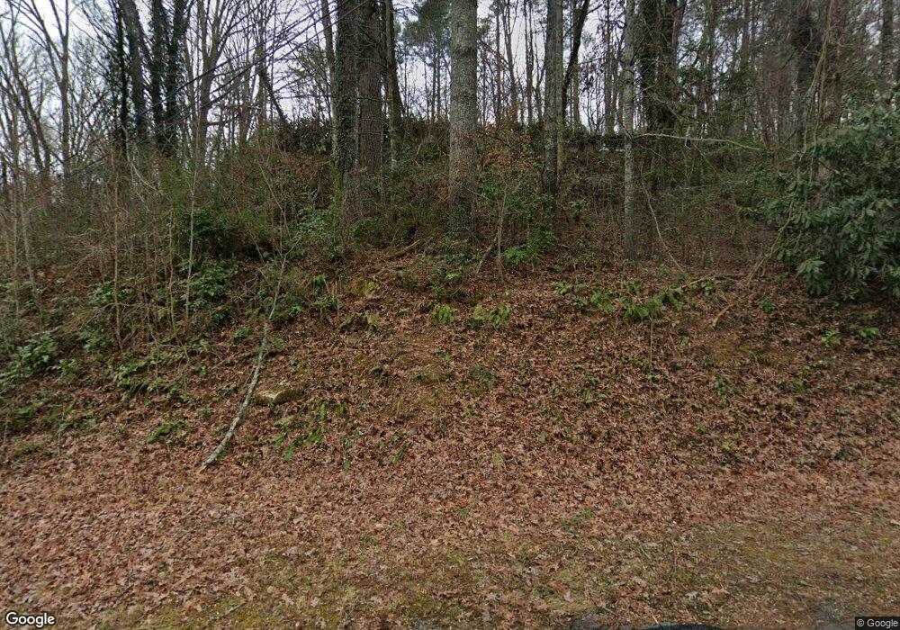
127 Forrester Dr Clayton, GA 30525
Estimated Value: $244,000 - $324,000
2
Beds
2
Baths
1,509
Sq Ft
$182/Sq Ft
Est. Value
About This Home
This home is located at 127 Forrester Dr, Clayton, GA 30525 and is currently estimated at $274,657, approximately $182 per square foot. 127 Forrester Dr is a home located in Rabun County with nearby schools including Rabun County Primary School, Rabun County High School, and Great Oaks Montessori .
Ownership History
Date
Name
Owned For
Owner Type
Purchase Details
Closed on
Jul 1, 1993
Bought by
Colley Eugene L and Colley Yvette R
Current Estimated Value
Purchase Details
Closed on
Aug 1, 1971
Purchase Details
Closed on
Jul 1, 1968
Create a Home Valuation Report for This Property
The Home Valuation Report is an in-depth analysis detailing your home's value as well as a comparison with similar homes in the area
Home Values in the Area
Average Home Value in this Area
Purchase History
| Date | Buyer | Sale Price | Title Company |
|---|---|---|---|
| Colley Eugene L | $68,000 | -- | |
| Colley Eugene L | $68,000 | -- | |
| -- | $26,500 | -- | |
| -- | $26,500 | -- | |
| -- | $20,000 | -- | |
| -- | $20,000 | -- |
Source: Public Records
Tax History Compared to Growth
Tax History
| Year | Tax Paid | Tax Assessment Tax Assessment Total Assessment is a certain percentage of the fair market value that is determined by local assessors to be the total taxable value of land and additions on the property. | Land | Improvement |
|---|---|---|---|---|
| 2025 | $1,272 | $66,748 | $16,000 | $50,748 |
| 2024 | $1,248 | $63,550 | $16,000 | $47,550 |
| 2023 | $1,019 | $49,742 | $11,200 | $38,542 |
| 2022 | $637 | $48,327 | $11,200 | $37,127 |
| 2021 | $899 | $43,331 | $11,200 | $32,131 |
| 2020 | $812 | $39,272 | $11,200 | $28,072 |
| 2019 | $506 | $39,272 | $11,200 | $28,072 |
| 2018 | $796 | $39,272 | $11,200 | $28,072 |
| 2017 | $491 | $39,272 | $11,200 | $28,072 |
| 2016 | $492 | $39,272 | $11,200 | $28,072 |
| 2015 | $511 | $39,765 | $11,200 | $28,565 |
| 2014 | $513 | $39,765 | $11,200 | $28,565 |
Source: Public Records
Map
Nearby Homes
- 112 Clayton Dr
- 276 Dunlap St
- 407 Hillside Dr
- 60 Mitchell St
- 0 Jericho Ln Unit 10624133
- 0 Travelers Ln Unit 10608680
- 0 Travelers Ln Unit 10590360
- 167 Travelers Ln
- 335 S Main St
- 9 Golf Dr
- 5 W Pinecrest Dr
- 893 Old 441 S
- 7 Dry Pond Dr
- 0 Toole St Unit 10538991
- 556 Summer Rd
- 127 Hamby St
- LOTS 92 & 93 Chechero Heights St
- 41 Mike Foster Ln
- 25 Valley St
- 51 Cottonwood St
- 0 Forestry Ct 4 Unit 20083512
- 0 Forestry Ct 3 Unit 20083315
- 0 Forestry Ct 1 Unit 20082315
- 59 Forrester Dr
- 59 Forrester Dr Unit Tract 1
- 104 Rodeo Ln
- 643 Marsengill Dr
- 0 Dunlap St Unit 7247203
- 0 Dunlap St Unit 8991593
- 6 Rodeo Ln
- 52 Rodeo Ln
- 57 Rodeo Ln
- 62 Tyler Ln
- 493 Marsengill Dr
- 585 Marsengill Dr
- 0 Number 10 Ln Unit 10195070
- 0 Number 10 Ln Unit 10038825
- 0 Number 10 Ln Unit 8987687
- 0 Number 10 Ln Unit 8502382
- 4 Clark Ln
