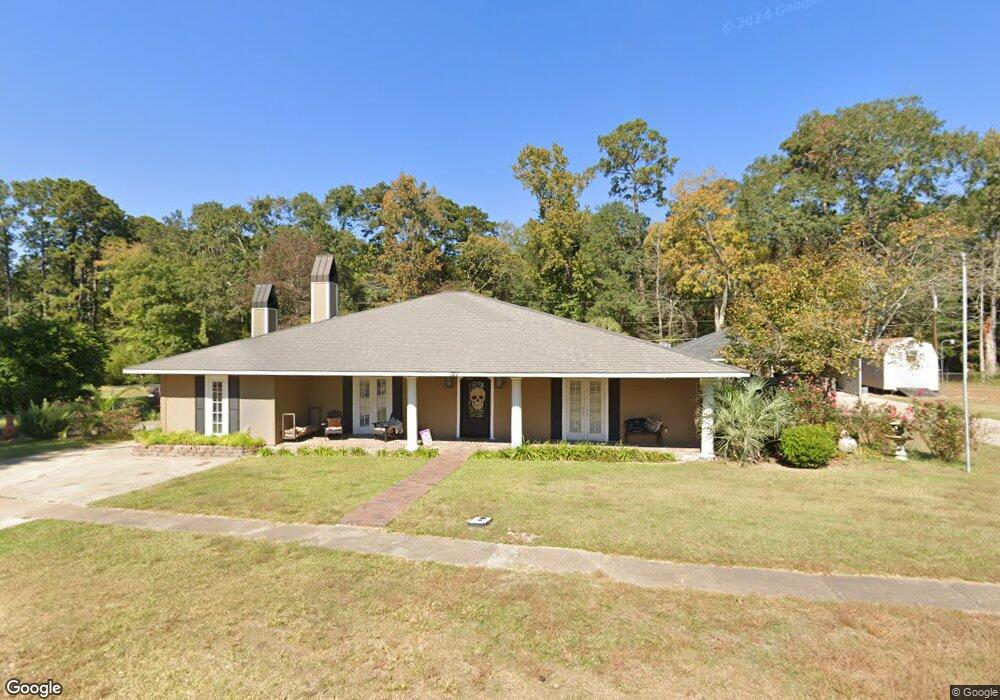
127 Frank Dr Unit 1 Logansport, LA 71049
Estimated Value: $126,000 - $334,031
--
Bed
--
Bath
--
Sq Ft
2
Acres
About This Home
This home is located at 127 Frank Dr Unit 1, Logansport, LA 71049 and is currently estimated at $231,758. 127 Frank Dr Unit 1 is a home located in De Soto Parish with nearby schools including Logansport High School.
Ownership History
Date
Name
Owned For
Owner Type
Purchase Details
Closed on
Feb 8, 2021
Sold by
Cason Rodger Dale and Cason Monica Laine
Bought by
Heyen Trevor
Current Estimated Value
Home Financials for this Owner
Home Financials are based on the most recent Mortgage that was taken out on this home.
Original Mortgage
$296,530
Outstanding Balance
$264,753
Interest Rate
2.6%
Mortgage Type
FHA
Estimated Equity
-$32,995
Purchase Details
Closed on
Aug 24, 2010
Sold by
Community Bank Of Louisiana
Bought by
Cason Rodger Dale and Cason Monica Laine
Home Financials for this Owner
Home Financials are based on the most recent Mortgage that was taken out on this home.
Original Mortgage
$30,000
Interest Rate
12%
Mortgage Type
Unknown
Create a Home Valuation Report for This Property
The Home Valuation Report is an in-depth analysis detailing your home's value as well as a comparison with similar homes in the area
Home Values in the Area
Average Home Value in this Area
Purchase History
| Date | Buyer | Sale Price | Title Company |
|---|---|---|---|
| Heyen Trevor | $302,000 | None Listed On Document | |
| Cason Rodger Dale | $22,000 | None Available |
Source: Public Records
Mortgage History
| Date | Status | Borrower | Loan Amount |
|---|---|---|---|
| Open | Heyen Trevor | $296,530 | |
| Previous Owner | Cason Rodger Dale | $30,000 |
Source: Public Records
Tax History Compared to Growth
Tax History
| Year | Tax Paid | Tax Assessment Tax Assessment Total Assessment is a certain percentage of the fair market value that is determined by local assessors to be the total taxable value of land and additions on the property. | Land | Improvement |
|---|---|---|---|---|
| 2024 | $1,577 | $18,274 | $750 | $17,524 |
| 2023 | $1,463 | $18,274 | $750 | $17,524 |
| 2022 | $2,313 | $18,274 | $750 | $17,524 |
| 2021 | $2,314 | $18,274 | $750 | $17,524 |
| 2020 | $1,299 | $10,186 | $750 | $9,436 |
| 2019 | $888 | $7,000 | $750 | $6,250 |
| 2018 | $858 | $7,000 | $750 | $6,250 |
| 2017 | $843 | $7,000 | $750 | $6,250 |
| 2016 | $850 | $7,000 | $750 | $6,250 |
| 2015 | $52 | $7,000 | $750 | $6,250 |
| 2014 | $52 | $7,000 | $750 | $6,250 |
| 2013 | $52 | $7,000 | $750 | $6,250 |
Source: Public Records
Map
Nearby Homes
- 123 Frank Dr
- 1100 Gum St
- 0 N 7th St
- 904 Uncas St
- 309 Sycamore St
- 205 S 2nd St
- 202 Pine St
- 0 Lakeshore Dr
- 505 Co Rd 3620
- 505 County Road 3620
- 4127 Farm To Market Road 139
- 4148 Farm To Market Road 139
- 0 Pierce Rd
- 8534 Route 7
- 14816 Highway 84
- TBD (Lot 2) County Road 3545
- TBD (Lot 6) County Road 3545
- TBD (Lot 1) County Road 3545
- TBD (Lot 4) County Road 3545
- TBD (Lot 5) County Road 3545