127 Frix Ln Dahlonega, GA 30533
Estimated Value: $152,000 - $930,187
4
Beds
5
Baths
1,152
Sq Ft
$361/Sq Ft
Est. Value
About This Home
This home is located at 127 Frix Ln, Dahlonega, GA 30533 and is currently estimated at $416,396, approximately $361 per square foot. 127 Frix Ln is a home located in Lumpkin County with nearby schools including Lumpkin County High School and Bay Creek Christian Academy.
Ownership History
Date
Name
Owned For
Owner Type
Purchase Details
Closed on
Aug 24, 2022
Sold by
Frix Mark O
Bought by
Frix Betty
Current Estimated Value
Purchase Details
Closed on
May 27, 2008
Sold by
Frix Mark
Bought by
Clifford Sean Patrick and Clifford Brandy Michelle
Purchase Details
Closed on
Feb 19, 2008
Sold by
Frix Mark
Bought by
Clifford Brandy
Purchase Details
Closed on
Mar 6, 2002
Sold by
Bolden Barbara
Bought by
Frix Mark and Frix Betty
Purchase Details
Closed on
Dec 7, 1995
Sold by
Bolden Barbara
Bought by
Bolden Barbara
Purchase Details
Closed on
Apr 29, 1994
Sold by
Bolden Barbara
Bought by
Bolden Barbara
Purchase Details
Closed on
Dec 15, 1993
Bought by
Bolden Barbara
Create a Home Valuation Report for This Property
The Home Valuation Report is an in-depth analysis detailing your home's value as well as a comparison with similar homes in the area
Home Values in the Area
Average Home Value in this Area
Purchase History
| Date | Buyer | Sale Price | Title Company |
|---|---|---|---|
| Frix Betty | -- | -- | |
| Clifford Sean Patrick | -- | -- | |
| Clifford Brandy | -- | -- | |
| Frix Mark | -- | -- | |
| Bolden Barbara | $6,700 | -- | |
| Bolden Barbara | -- | -- | |
| Bolden Barbara | $32,700 | -- |
Source: Public Records
Tax History Compared to Growth
Tax History
| Year | Tax Paid | Tax Assessment Tax Assessment Total Assessment is a certain percentage of the fair market value that is determined by local assessors to be the total taxable value of land and additions on the property. | Land | Improvement |
|---|---|---|---|---|
| 2024 | $5,643 | $345,437 | $67,488 | $277,949 |
| 2023 | $4,660 | $321,187 | $57,011 | $264,176 |
| 2022 | $4,619 | $290,211 | $47,510 | $242,701 |
| 2021 | $4,061 | $263,106 | $47,510 | $215,596 |
| 2020 | $4,019 | $257,154 | $45,526 | $211,628 |
| 2019 | $4,069 | $257,154 | $45,526 | $211,628 |
| 2018 | $3,725 | $234,880 | $45,526 | $189,354 |
| 2017 | $3,728 | $231,739 | $45,526 | $186,213 |
| 2016 | $3,389 | $215,062 | $45,526 | $169,536 |
| 2015 | $2,921 | $215,062 | $45,526 | $169,536 |
| 2014 | $2,921 | $217,002 | $45,526 | $171,476 |
Source: Public Records
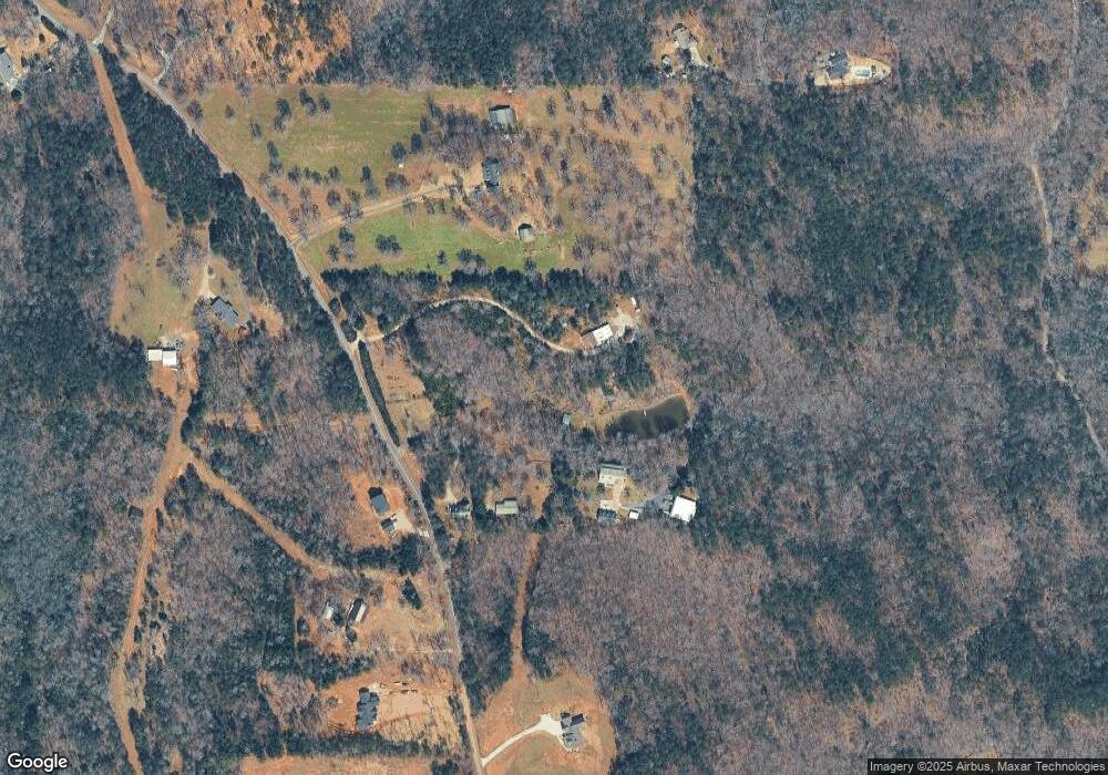
Map
Nearby Homes
- 1861 Mill Creek Rd
- 0 Mill Creek Unit 411255
- 3050 Sheep Wallow Rd
- 6418 Dawsonville Hwy
- Lot 28 Fern Park Dr
- 0x Pink Williams Rd
- 0x Pink Williams Rd Unit 124AC
- 137 Bryn Dr
- 194 Deerfield Dr
- 115 W Woods Dr
- 120 Twisted Pines Crossing
- 150 Buck Run E
- 0 Nimblewill Creek Rd Unit 7592435
- 0 Nimblewill Creek Rd Unit 10537541
- 0 Nimblewill Creek Rd Unit 10537492
- 0 Nimblewill Creek Rd Unit 7592523
- 9 W Woods Ct
- 0 Rider Rd Unit 7481902
- 0 Rider Rd Unit 10408283
- 78 Etowah West Dr
- 58 Frix Ln
- 40 Frix Ln
- 1901 Mill Creek Rd
- Lot 1 Mill Creek Rd Rd
- Lot 5 Mill Creek Rd Rd
- Lot 4 Mill Creek Rd Rd
- 1750 Mill Creek Rd
- 2122 Mill Creek Rd
- 1760 Mill Creek Rd
- 1750 Mill Creek Rd
- 2139 Mill Creek Rd
- 1731 Ben West Rd
- 1729 Ben West Rd
- 2202 Mill Creek Rd
- 2230 Mill Creek Rd
- 1825 Ben West Rd W
- 231 Mill Creek Trail
- 605 Lee Mashburn Rd
- 1739 Ben West Rd
- 263 Rock Chimney Ln