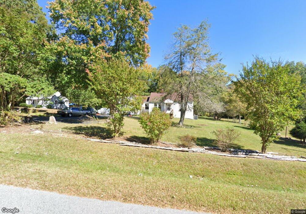
127 Gate St High Point, NC 27263
Greater High Point NeighborhoodEstimated Value: $115,000 - $182,000
2
Beds
1
Bath
1,088
Sq Ft
$149/Sq Ft
Est. Value
About This Home
This home is located at 127 Gate St, High Point, NC 27263 and is currently estimated at $162,582, approximately $149 per square foot. 127 Gate St is a home located in Guilford County with nearby schools including Allen Jay Elementary School, Southern Guilford Middle, and Southern Guilford High School.
Ownership History
Date
Name
Owned For
Owner Type
Purchase Details
Closed on
Jul 22, 2016
Sold by
Smith Lauren M
Bought by
Smith Daniel Jason
Current Estimated Value
Home Financials for this Owner
Home Financials are based on the most recent Mortgage that was taken out on this home.
Original Mortgage
$43,600
Outstanding Balance
$34,431
Interest Rate
3.25%
Mortgage Type
Adjustable Rate Mortgage/ARM
Estimated Equity
$128,151
Purchase Details
Closed on
May 31, 1996
Bought by
Smith Daniel J
Create a Home Valuation Report for This Property
The Home Valuation Report is an in-depth analysis detailing your home's value as well as a comparison with similar homes in the area
Home Values in the Area
Average Home Value in this Area
Purchase History
| Date | Buyer | Sale Price | Title Company |
|---|---|---|---|
| Smith Daniel Jason | $31,500 | None Available | |
| Smith Daniel J | $61,300 | -- |
Source: Public Records
Mortgage History
| Date | Status | Borrower | Loan Amount |
|---|---|---|---|
| Open | Smith Daniel Jason | $43,600 |
Source: Public Records
Tax History
| Year | Tax Paid | Tax Assessment Tax Assessment Total Assessment is a certain percentage of the fair market value that is determined by local assessors to be the total taxable value of land and additions on the property. | Land | Improvement |
|---|---|---|---|---|
| 2025 | $873 | $99,500 | $20,000 | $79,500 |
| 2024 | $873 | $99,500 | $20,000 | $79,500 |
| 2023 | $873 | $99,500 | $20,000 | $79,500 |
| 2022 | $873 | $99,500 | $20,000 | $79,500 |
| 2021 | $610 | $69,500 | $20,000 | $49,500 |
| 2020 | $610 | $69,500 | $20,000 | $49,500 |
| 2019 | $610 | $69,500 | $0 | $0 |
| 2018 | $607 | $69,500 | $0 | $0 |
| 2017 | $588 | $69,500 | $0 | $0 |
| 2016 | $559 | $63,900 | $0 | $0 |
| 2015 | $562 | $63,900 | $0 | $0 |
| 2014 | $569 | $63,900 | $0 | $0 |
Source: Public Records
Map
Nearby Homes
- 611 Liberty Rd
- 000 Liberty Rd
- 126 Apollo Cir
- 919 Belmont Dr
- 717 Belmont Dr
- 116 Liberty Place
- 914 Nance Ave
- 600 E Fairfield Rd
- 1105 E Springfield Rd
- 1535 E Fairfield Rd
- 715 Baker Rd
- 10844 N Main St
- 921 Norton St
- 10812, 10822, 10828 N Main St
- 510 Aldridge Rd
- 1606 Chelsea Square
- 424 Aldridge Rd
- 209 Purvis Ln
- 312 Playground Rd
- 902 Brittany Way
Your Personal Tour Guide
Ask me questions while you tour the home.