127 Harbor Pointe Dr Brunswick, GA 31523
Oak Grove Island Plantation NeighborhoodEstimated Value: $466,000 - $561,000
4
Beds
3
Baths
2,584
Sq Ft
$199/Sq Ft
Est. Value
About This Home
This home is located at 127 Harbor Pointe Dr, Brunswick, GA 31523 and is currently estimated at $513,510, approximately $198 per square foot. 127 Harbor Pointe Dr is a home located in Glynn County with nearby schools including Sterling Elementary School, Jane Macon Middle School, and Brunswick High School.
Ownership History
Date
Name
Owned For
Owner Type
Purchase Details
Closed on
Nov 23, 2020
Sold by
Doty Ringan T
Bought by
Mathis Jonathan A
Current Estimated Value
Home Financials for this Owner
Home Financials are based on the most recent Mortgage that was taken out on this home.
Original Mortgage
$308,750
Outstanding Balance
$273,157
Interest Rate
2.8%
Mortgage Type
New Conventional
Estimated Equity
$240,353
Create a Home Valuation Report for This Property
The Home Valuation Report is an in-depth analysis detailing your home's value as well as a comparison with similar homes in the area
Home Values in the Area
Average Home Value in this Area
Purchase History
| Date | Buyer | Sale Price | Title Company |
|---|---|---|---|
| Mathis Jonathan A | $325,000 | -- |
Source: Public Records
Mortgage History
| Date | Status | Borrower | Loan Amount |
|---|---|---|---|
| Open | Mathis Jonathan A | $308,750 |
Source: Public Records
Tax History
| Year | Tax Paid | Tax Assessment Tax Assessment Total Assessment is a certain percentage of the fair market value that is determined by local assessors to be the total taxable value of land and additions on the property. | Land | Improvement |
|---|---|---|---|---|
| 2025 | $4,393 | $175,160 | $20,200 | $154,960 |
| 2024 | $3,822 | $152,400 | $18,000 | $134,400 |
| 2023 | $2,478 | $152,400 | $18,000 | $134,400 |
| 2022 | $2,918 | $118,000 | $22,000 | $96,000 |
| 2021 | $3,005 | $116,360 | $22,000 | $94,360 |
| 2020 | $2,339 | $116,360 | $22,000 | $94,360 |
| 2019 | $2,339 | $106,920 | $22,000 | $84,920 |
| 2018 | $2,339 | $106,920 | $22,000 | $84,920 |
| 2017 | $2,339 | $111,640 | $22,000 | $89,640 |
| 2016 | $2,170 | $106,920 | $22,000 | $84,920 |
| 2015 | $2,172 | $98,320 | $13,400 | $84,920 |
| 2014 | $2,172 | $89,560 | $12,200 | $77,360 |
Source: Public Records
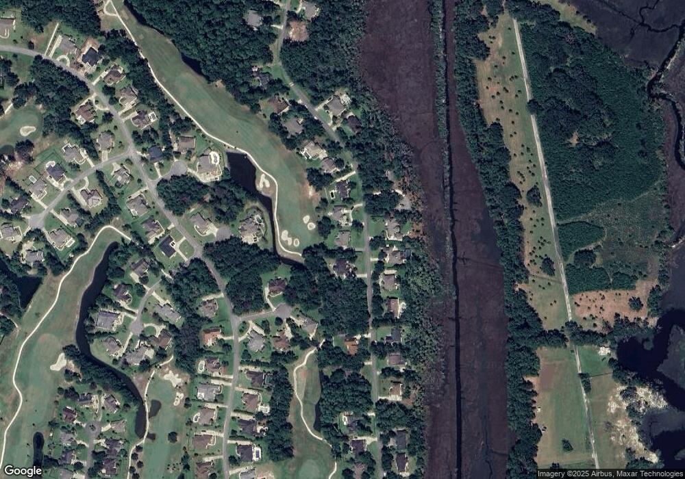
Map
Nearby Homes
- 133 Harbor Pointe Dr
- 10 Heron Place
- 415 + lots 350,370 Jenkins Farm Rd
- 110 Old Wharf Rd
- 109 Harbor Pointe Dr
- 146 Harbor Pointe Dr
- 150 Harbor Pointe Dr
- 106 Hickory Pine
- 13 Crows Nest Cove
- 388 Oak Grove Island Dr
- 374 Oak Grove Island Dr
- 275 Harbor Pointe Dr
- 162 Old Wharf Rd
- 109 Wildflower Ct
- 370 Oak Grove Island Dr
- 164 Old Wharf Rd
- 273 Harbor Pointe Dr
- 373 Oak Grove Island Dr
- 168 Old Wharf Rd
- 371 Oak Grove Island Dr
- 125 Harbor Pointe Dr
- 129 Harbor Pointe Dr
- 123 Harbor Pointe Dr
- 124 Harbor Pointe Dr
- 126 Harbor Pointe Dr
- 128 Harbor Pointe Dr
- 121 Harbor Pointe Dr
- 13 Binnacle Cove
- 13 Binnancle Cove (Lot 173)
- 130 Harbor Pointe Dr
- 130 Harbor Pointe Dr
- 12 Anchor Cove
- 12 Anchor Cove
- 14 Binnacle Cove
- 119 Harbor Pointe Dr
- 118 Harbor Pointe Dr Unit 10
- 118 Harbor Pointe Dr
- 122 Old Wharf Rd
- 132 Harbor Pointe Dr
- 132 Harbor Pointe Dr
Your Personal Tour Guide
Ask me questions while you tour the home.