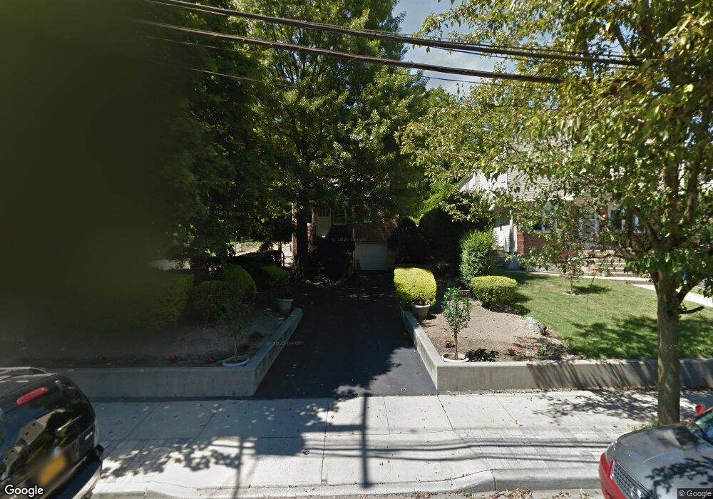
127 Harbor Rd Unit A Port Washington, NY 11050
Estimated Value: $1,108,000
5
Beds
4
Baths
2,320
Sq Ft
$478/Sq Ft
Est. Value
About This Home
This home is located at 127 Harbor Rd Unit A, Port Washington, NY 11050 and is currently estimated at $1,108,000, approximately $477 per square foot. 127 Harbor Rd Unit A is a home located in Nassau County with nearby schools including John J. Daly Elementary School, Carrie Palmer Weber Middle School, and Paul D. Schreiber Senior High School.
Ownership History
Date
Name
Owned For
Owner Type
Purchase Details
Closed on
Jun 9, 2017
Sold by
Singh Surindra and Singh Natasha
Bought by
Miyashiro Dennis and Goldin Luba
Current Estimated Value
Home Financials for this Owner
Home Financials are based on the most recent Mortgage that was taken out on this home.
Original Mortgage
$520,000
Outstanding Balance
$432,886
Interest Rate
4.05%
Mortgage Type
New Conventional
Estimated Equity
$675,114
Purchase Details
Closed on
May 17, 2002
Sold by
Petty Mary
Bought by
Singh Natasha
Create a Home Valuation Report for This Property
The Home Valuation Report is an in-depth analysis detailing your home's value as well as a comparison with similar homes in the area
Home Values in the Area
Average Home Value in this Area
Purchase History
| Date | Buyer | Sale Price | Title Company |
|---|---|---|---|
| Miyashiro Dennis | $650,000 | Partners Abstract Corp | |
| Singh Natasha | $190,000 | -- |
Source: Public Records
Mortgage History
| Date | Status | Borrower | Loan Amount |
|---|---|---|---|
| Open | Miyashiro Dennis | $520,000 |
Source: Public Records
Tax History Compared to Growth
Tax History
| Year | Tax Paid | Tax Assessment Tax Assessment Total Assessment is a certain percentage of the fair market value that is determined by local assessors to be the total taxable value of land and additions on the property. | Land | Improvement |
|---|---|---|---|---|
| 2025 | $19,216 | $820 | $386 | $434 |
| 2024 | $5,391 | $784 | $369 | $415 |
| 2023 | $17,056 | $850 | $400 | $450 |
| 2022 | $17,056 | $832 | $392 | $440 |
| 2021 | $15,569 | $832 | $391 | $441 |
| 2020 | $14,343 | $910 | $469 | $441 |
| 2019 | $12,734 | $1,080 | $581 | $499 |
| 2018 | $14,245 | $1,152 | $0 | $0 |
| 2017 | $8,429 | $1,224 | $569 | $655 |
| 2016 | $13,478 | $1,334 | $620 | $714 |
| 2015 | $5,367 | $1,334 | $620 | $714 |
| 2014 | $5,367 | $1,334 | $620 | $714 |
| 2013 | $5,019 | $1,334 | $620 | $714 |
Source: Public Records
Map
Nearby Homes
- 16 Avenue A
- 33 Avenue B
- 25 Wood Rd
- 43 Miro Place
- 5 Pepperday Ave
- 98 Pond View Dr Unit 240
- 57 Sandy Hollow Rd
- 25 School St
- 39 Annette Dr
- 17 Glamford Ave
- 10 Fairfield Ave
- 13 Linda Rd
- 11 Middle Rd
- 51 Highfield Ave
- 159 Soundview Dr
- 54 Fairfield Ave
- 34 Hillview Ave
- 6 Jeannette Dr
- 36 Fishermans Dr
- 11 Fishermans Dr