127 Heath Rd Chestertown, MD 21620
Kingstown NeighborhoodEstimated Value: $302,120 - $375,000
--
Bed
2
Baths
1,332
Sq Ft
$251/Sq Ft
Est. Value
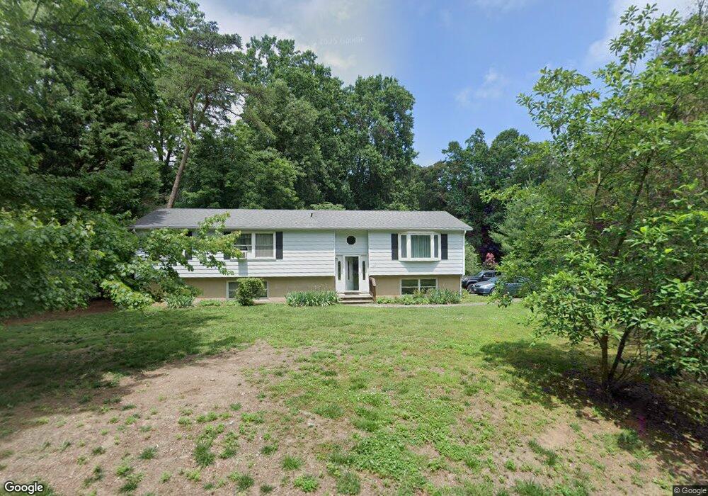
About This Home
This home is located at 127 Heath Rd, Chestertown, MD 21620 and is currently estimated at $334,780, approximately $251 per square foot. 127 Heath Rd is a home located in Queen Anne's County with nearby schools including Church Hill Elementary School, Sudlersville Middle School, and Queen Anne's County High School.
Ownership History
Date
Name
Owned For
Owner Type
Purchase Details
Closed on
Aug 8, 2012
Sold by
Shaw Carol S
Bought by
Shaw Carol S and Shaw Douglas M
Current Estimated Value
Purchase Details
Closed on
Nov 7, 1988
Sold by
Layton Deborah W
Bought by
Shaw Lowell R and Shaw Carol S
Home Financials for this Owner
Home Financials are based on the most recent Mortgage that was taken out on this home.
Original Mortgage
$64,200
Interest Rate
10.12%
Purchase Details
Closed on
Oct 9, 1987
Sold by
Walsh Robert H and Walsh Norma J
Bought by
Layton Deborah W
Home Financials for this Owner
Home Financials are based on the most recent Mortgage that was taken out on this home.
Original Mortgage
$54,000
Interest Rate
11.21%
Create a Home Valuation Report for This Property
The Home Valuation Report is an in-depth analysis detailing your home's value as well as a comparison with similar homes in the area
Home Values in the Area
Average Home Value in this Area
Purchase History
| Date | Buyer | Sale Price | Title Company |
|---|---|---|---|
| Shaw Carol S | -- | None Available | |
| Shaw Lowell R | $76,500 | -- | |
| Layton Deborah W | $67,500 | -- |
Source: Public Records
Mortgage History
| Date | Status | Borrower | Loan Amount |
|---|---|---|---|
| Closed | Shaw Lowell R | $64,200 | |
| Previous Owner | Layton Deborah W | $54,000 |
Source: Public Records
Tax History Compared to Growth
Tax History
| Year | Tax Paid | Tax Assessment Tax Assessment Total Assessment is a certain percentage of the fair market value that is determined by local assessors to be the total taxable value of land and additions on the property. | Land | Improvement |
|---|---|---|---|---|
| 2025 | $2,423 | $250,900 | $76,000 | $174,900 |
| 2024 | $2,238 | $231,233 | $0 | $0 |
| 2023 | $2,053 | $211,567 | $0 | $0 |
| 2022 | $1,868 | $191,900 | $58,700 | $133,200 |
| 2021 | $1,851 | $189,300 | $0 | $0 |
| 2020 | $1,851 | $186,700 | $0 | $0 |
| 2019 | $1,826 | $184,100 | $58,700 | $125,400 |
| 2018 | $1,795 | $180,867 | $0 | $0 |
| 2017 | $1,764 | $177,633 | $0 | $0 |
| 2016 | -- | $174,400 | $0 | $0 |
| 2015 | $1,792 | $174,400 | $0 | $0 |
| 2014 | $1,792 | $174,400 | $0 | $0 |
Source: Public Records
Map
Nearby Homes
- 222 Dutchess Rd
- 213 Central Dr
- 109 Wilton Rd
- 492 Pear Tree Point Rd
- 26933 Mallard Rd
- 0 East St
- 101 Birch Run Rd
- 303 E Campus Ave
- 204 Rolling Rd
- 411 Greenwood Ave
- 206 Valley Rd
- 105 High St
- 0 Elm St Unit MDKE2003590
- 228 S Water St
- 200 Washington Ave
- 206 S Water St
- 216 Blakefield Dr
- 304 Hadaway Dr
- 206 Cannon St
- 3 Haacke Dr