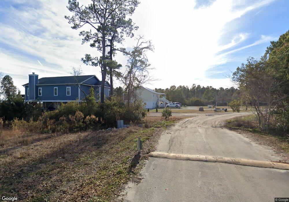
127 Heron Cove Rd Hampstead, NC 28443
Estimated Value: $376,000 - $403,000
3
Beds
2
Baths
1,620
Sq Ft
$239/Sq Ft
Est. Value
About This Home
This home is located at 127 Heron Cove Rd, Hampstead, NC 28443 and is currently estimated at $387,667, approximately $239 per square foot. 127 Heron Cove Rd is a home located in Pender County with nearby schools including North Topsail Elementary School, Topsail Middle School, and Topsail High School.
Ownership History
Date
Name
Owned For
Owner Type
Purchase Details
Closed on
Jul 22, 2015
Sold by
Byrd Christine and Byrd Leroy
Bought by
Carrington Mortgage Services Llc
Current Estimated Value
Purchase Details
Closed on
Jun 1, 2004
Bought by
Byrd Leroy
Create a Home Valuation Report for This Property
The Home Valuation Report is an in-depth analysis detailing your home's value as well as a comparison with similar homes in the area
Home Values in the Area
Average Home Value in this Area
Purchase History
| Date | Buyer | Sale Price | Title Company |
|---|---|---|---|
| Carrington Mortgage Services Llc | $191,250 | None Available | |
| Byrd Leroy | -- | -- |
Source: Public Records
Tax History Compared to Growth
Tax History
| Year | Tax Paid | Tax Assessment Tax Assessment Total Assessment is a certain percentage of the fair market value that is determined by local assessors to be the total taxable value of land and additions on the property. | Land | Improvement |
|---|---|---|---|---|
| 2024 | $2,388 | $235,319 | $83,968 | $151,351 |
| 2023 | $2,388 | $235,319 | $83,968 | $151,351 |
| 2022 | $2,191 | $235,319 | $83,968 | $151,351 |
| 2021 | $2,191 | $235,319 | $83,968 | $151,351 |
| 2020 | $2,191 | $235,319 | $83,968 | $151,351 |
| 2019 | $1,684 | $174,779 | $83,968 | $90,811 |
| 2018 | $1,992 | $209,080 | $104,364 | $104,716 |
| 2017 | $1,992 | $209,080 | $104,364 | $104,716 |
| 2016 | $1,971 | $209,080 | $104,364 | $104,716 |
| 2015 | $1,936 | $209,080 | $104,364 | $104,716 |
| 2014 | $1,541 | $209,080 | $104,364 | $104,716 |
| 2013 | -- | $209,080 | $104,364 | $104,716 |
| 2012 | -- | $209,080 | $104,364 | $104,716 |
Source: Public Records
Map
Nearby Homes
- 138 Heron Cove Rd
- Tract 3 Old Landing Rd
- 14 Old Landing Rd
- 309 Azimuth Dr
- 711 Belt Rd
- 1034 Milo Ln
- 502 Edgewater Way
- 134 N Grassland Rd Unit Th8
- 312 Cleat Dr
- 320 Edgewater Way
- Norman Plan at Waterside Townhomes
- Pearson Plan at Waterside Townhomes
- 122 N Grassland Rd Unit Th 14
- 120 N Grassland Rd Unit Th 15
- 121 N Grassland Rd Unit 59
- 119 N Grassland Rd Unit 58
- 119 N Grassland Rd Unit Th58
- 117 N Grassland Rd Unit 57
- 117 N Grassland Rd Unit Th57
- 112 N Grassland Rd Unit 19
- 139 Heron Cove
- Lot1a Heron Cove Rd
- 19 Heron Cove Rd
- 1 Heron Cove Rd
- 0 Heron Cove Rd
- 5 Heron Cove Rd
- 5 Lot B Heron Cove Rd
- 115 Heron Cove Rd
- Lot 4b3 Heron Cove Rd
- Lot 5b2 Heron Cove Rd
- 102 Heron Cove Rd
- 119 Heron Cove Rd
- 4-A-3 Heron Cove
- 118 Heron Cove Rd
- 116 Heron Cove Rd
- 113 Heron Cove Rd
- 111 Heron Cove Rd
- 123 Heron Cove Rd
- 110 Heron Cove Rd
- 130 Heron Cove Rd